
Tunstall, village in Kent, United Kingdom
Ubicación: Borough of Swale
Coordenadas GPS: 51.31902,0.72063
Última actualización: 8 de marzo de 2025 a las 14:08
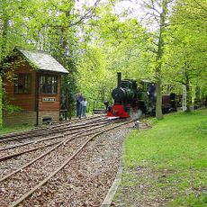
Bredgar and Wormshill Light Railway
3.6 km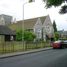
Church of All Saints, Murston
3.4 km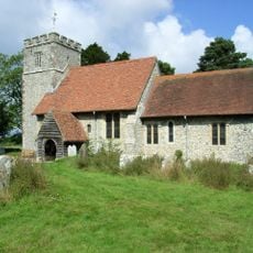
St Giles, Wormshill
4.1 km
Bredgar & Wormshill Railway
3.6 km
Church of St Dunstan
3.9 km
Church of the Holy Trinity
2.6 km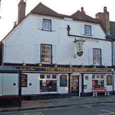
The Three Hats Inn
3.5 km
Church of St Nicholas
3 km
Church of St John the Baptist
1.9 km
Church of St Michael
2.7 km
Church of St Lawrence
3.5 km
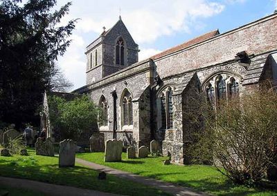
Church of St Peter and St Paul
2.2 km
Church of St Bartholomew
3.9 km
Church of St Catherine
3.9 km
Church of St Mary and the Holy Cross
2.6 km
Church of St John the Baptist
624 m
Parish Church of the Holy Trinity
4.3 km
Milstead Manor
2.7 km
Bexon Manor
1.9 km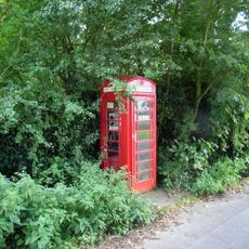
K6 Telephone Kiosk
4.2 km
245 And 247, Borden Lane
1.7 km
Burnham House
1.9 km
Chantry House
1.9 km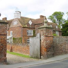
Tunstall House
588 m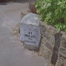
Milestone, Canterbury Road, by No. 201 "The Milestone"
3.4 km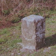
Milestone, Chestnut Street, opp. "Greenlands", S of bus shelter
3.9 km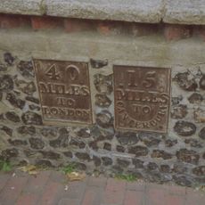
Milestone, High Street, SW corner of St Michael's Churchyard, in pedestrian zone
2.6 km
Milestone, Fox Cottage, Chestnut Street, just E of town between J5 of M2 and Key Street roundabout
3.2 kmOpiniones
¿Has visitado este lugar? Toca las estrellas para valorarlo y compartir tu experiencia o fotos con la comunidad. ¡Pruébalo ahora! Puedes cancelarlo en cualquier momento.
¡Encuentra tesoros escondidos en cada aventura!
Desde cafeterías con encanto hasta miradores secretos, escapa de las multitudes y encuentra lugares que van contigo de verdad. Nuestra app te lo pone fácil: búsqueda por voz, filtros inteligentes, rutas optimizadas y consejos auténticos de viajeros de todo el mundo. ¡Descárgala ya y vive la aventura en tu móvil!

Un enfoque novedoso para descubrir el turismo❞
— Le Figaro
Todos los lugares que merecen ser explorados❞
— France Info
Una excursión a medida en solo unos clics❞
— 20 Minutes