
Draughton, village and civil parish in Northamptonshire, United Kingdom
Ubicación: West Northamptonshire
Coordenadas GPS: 52.38370,-0.88480
Última actualización: 2 de marzo de 2025 a las 23:55
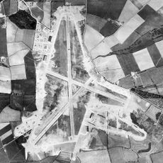
RAF Harrington
1.9 km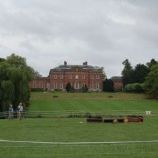
Kelmarsh Hall
3.7 km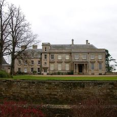
Lamport Hall
2.3 km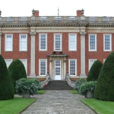
Cottesbrooke Hall
5.6 km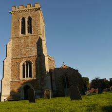
Church of St Andrew
4.5 km
Arthingworth Manor
4.9 km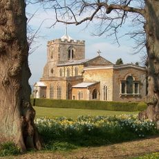
Church of All Saints, Lamport
2.2 km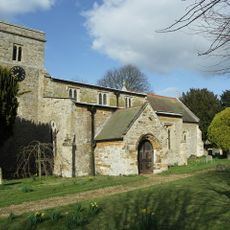
St Catherine's Church, Draughton
197 m
Rothwell Gullet
6.8 km
Church of St Peter and Paul
4.2 km
Church of St Andrew, Arthingworth
4.7 km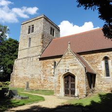
Church of St Mary the Virgin
1.1 km
Birch Spinney and Mawsley Marsh
5 km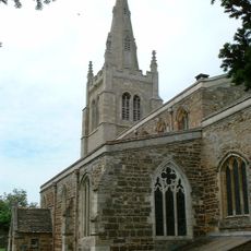
Church of St Andrew
6.8 km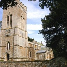
Church of St Michael
4.8 km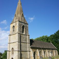
Church of St Denys
3.5 km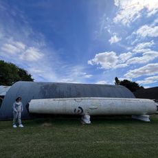
Harrington Aviation Museum
2.4 km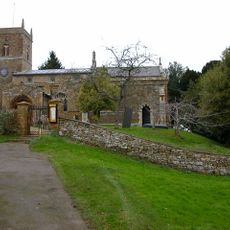
Church of St Peter and St Paul
4.3 km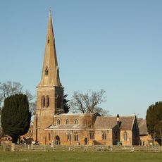
Church of St Leonard
5.7 km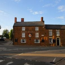
Rowell Charter Inn
7 km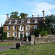
Rothwell Manor House
7.1 km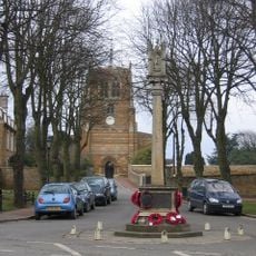
Rothwell War Memorial, Northamptonshire
7 km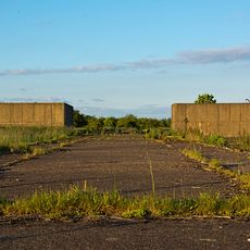
Thor Missile Site At Former Raf Harrington Including The Pyrotechnic Store And Classified Storage Building To The West Of The Three Emplacements.
1.9 km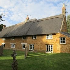
Stable Yard Cottages
5.7 km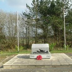
801st & 492nd Bombardment Group 'The Carpetbaggers' Memorial, Harrington
2 km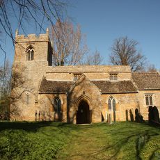
The Orton Trust Workshop
5.3 km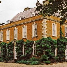
The Old Rectory
2.2 km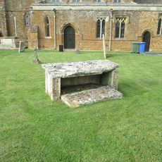
Chest Tomb 15 Metres South Of Church Of St Leonard
5.7 kmOpiniones
¿Has visitado este lugar? Toca las estrellas para valorarlo y compartir tu experiencia o fotos con la comunidad. ¡Pruébalo ahora! Puedes cancelarlo en cualquier momento.
¡Encuentra tesoros escondidos en cada aventura!
Desde cafeterías con encanto hasta miradores secretos, escapa de las multitudes y encuentra lugares que van contigo de verdad. Nuestra app te lo pone fácil: búsqueda por voz, filtros inteligentes, rutas optimizadas y consejos auténticos de viajeros de todo el mundo. ¡Descárgala ya y vive la aventura en tu móvil!

Un enfoque novedoso para descubrir el turismo❞
— Le Figaro
Todos los lugares que merecen ser explorados❞
— France Info
Una excursión a medida en solo unos clics❞
— 20 Minutes