
Wrockwardine, village and civil parish in Shropshire, United Kingdom
Ubicación: Telford and Wrekin
Coordenadas GPS: 52.70300,-2.55600
Última actualización: 10 de marzo de 2025 a las 08:18
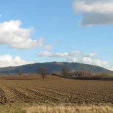
The Wrekin
3.8 km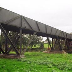
Longdon-Upon-Tern aqueduct
3.9 km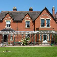
Sunnycroft
2.8 km
Apley Castle
3.5 km
High Ercall Hall
6.4 km
St Michael's Church, High Ercall
6.3 km
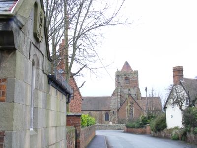
Church of St Peter
213 m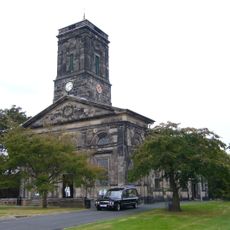
Church of All Saints
2.6 km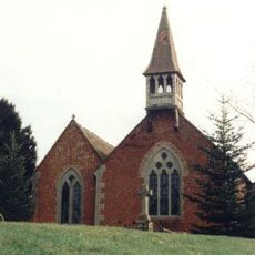
Church of St George
4.4 km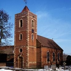
Church of St. Catherine
3.9 km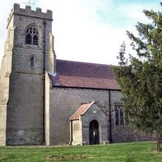
Church of the Holy Trinity
3.7 km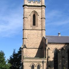
Christ Church
3.1 km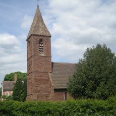
Church of St John the Baptist
5 km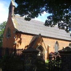
Church of St Bartholomew
3.6 km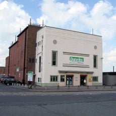
Clifton Cinema, Wellington
2.3 km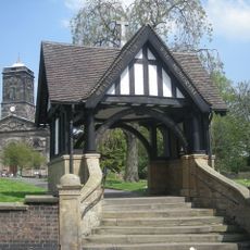
Gate Piers, Steps, Walls and War Memorial Lychgate
2.5 km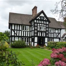
2, Uppington
3.6 km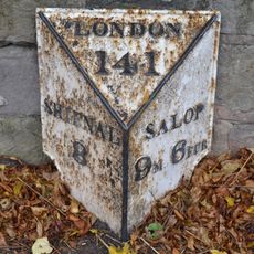
Milepost Approximately 700 Yards South South West Of Orleton Hall
1.4 km
Ercall Mill Mill House
6 km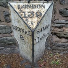
Milepost Approximately 300 Yards East South East Of Football Ground
4 km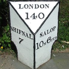
Mile Post South South East Of Wrekin Hospital
2.5 km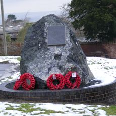
Wrockwardine War Memorial
321 m
Moated site, ridge and furrow cultivation remains and a building platform immediately north of Lower Grounds
5.1 km
Number 1 (tudor House) And Part Of Number 2
3.6 km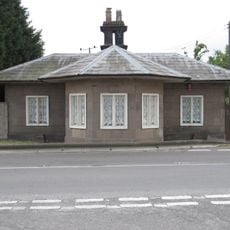
The Round House Umbrella House
1.4 km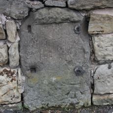
Milestone, Whitchurch Road, nr jcn Apley Avenue
2.6 km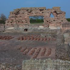
Site of Roman town of Wroxeter (Viroconium)
6.7 km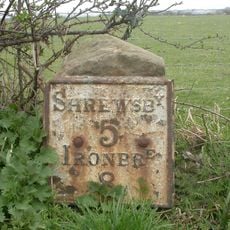
Milestone, 260m NW Wroxeter crossroads
6.8 km¿Has visitado este lugar? Toca las estrellas para valorarlo y compartir tu experiencia o fotos con la comunidad. ¡Pruébalo ahora! Puedes cancelarlo en cualquier momento.
¡Encuentra tesoros escondidos en cada aventura!
Desde cafeterías con encanto hasta miradores secretos, escapa de las multitudes y encuentra lugares que van contigo de verdad. Nuestra app te lo pone fácil: búsqueda por voz, filtros inteligentes, rutas optimizadas y consejos auténticos de viajeros de todo el mundo. ¡Descárgala ya y vive la aventura en tu móvil!

Un enfoque novedoso para descubrir el turismo❞
— Le Figaro
Todos los lugares que merecen ser explorados❞
— France Info
Una excursión a medida en solo unos clics❞
— 20 Minutes