
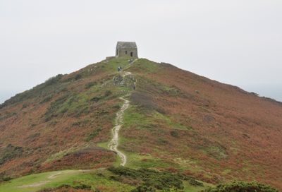
Promontory fort, medieval chapel of St Michael's and Second World War radar station at Rame Head
Promontory fort, medieval chapel of St Michael's and Second World War radar station at Rame Head, fort in Maker-with-Rame, Cornwall, England, UK
Ubicación: Maker-with-Rame
Coordenadas GPS: 50.31330,-4.22326
Última actualización: 6 de marzo de 2025 a las 00:12
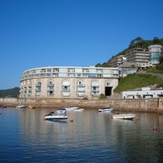
Picklecombe Fort
5 km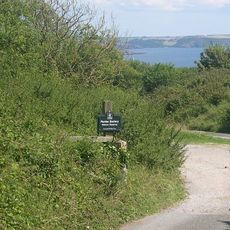
Penlee Battery
2.3 km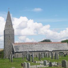
Church of St Germanus
1.2 km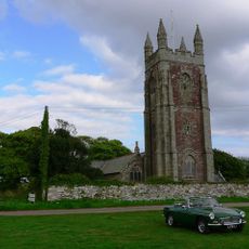
Church of St Mary and St Julian
4.7 km
Hawkins Battery
3.9 km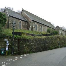
Church of St Andrew
2.4 km
Raleigh Battery
4.1 km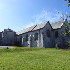
Church of All Saints
4.2 km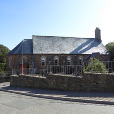
St Paul's Church, Kingsand
2.9 km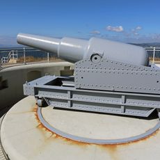
Maker Battery
3.4 km
Cawsand Battery
2.6 km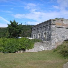
Polhawn Fort
961 m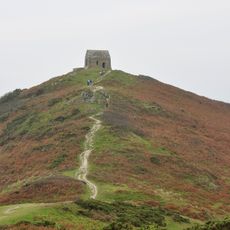
Rame Head
11 m
Chapel Of St Michael
35 m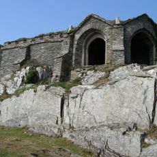
Queen Adelaides Chapel
2.4 km
Millbrook Methodist Church
3.9 km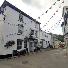
Halfway House Inn
2.7 km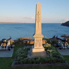
Cawsand and Rame War Memorial
2.6 km
Eventide
2.7 km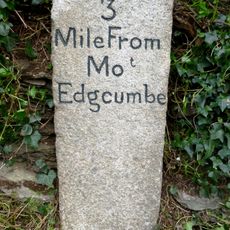
Milestone At Sx 419 519
3.6 km
Grenville Battery
3.5 km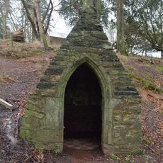
St Julian's Well, Maker-with-Rame
4.8 km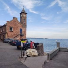
The Institute
2.7 km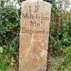
Milestone At Sx 437 518
4 km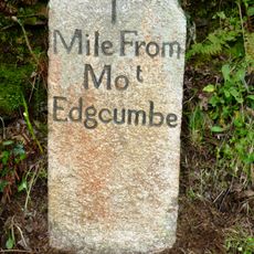
Milestone At Sx 445 520
4.7 km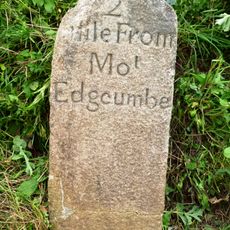
Milestone At Sx 430 515
3.5 km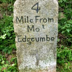
Milestone At Sx 408 528
4.7 km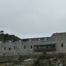
Cawsand Fort
2.6 kmOpiniones
¿Has visitado este lugar? Toca las estrellas para valorarlo y compartir tu experiencia o fotos con la comunidad. ¡Pruébalo ahora! Puedes cancelarlo en cualquier momento.
¡Encuentra tesoros escondidos en cada aventura!
Desde cafeterías con encanto hasta miradores secretos, escapa de las multitudes y encuentra lugares que van contigo de verdad. Nuestra app te lo pone fácil: búsqueda por voz, filtros inteligentes, rutas optimizadas y consejos auténticos de viajeros de todo el mundo. ¡Descárgala ya y vive la aventura en tu móvil!

Un enfoque novedoso para descubrir el turismo❞
— Le Figaro
Todos los lugares que merecen ser explorados❞
— France Info
Una excursión a medida en solo unos clics❞
— 20 Minutes