
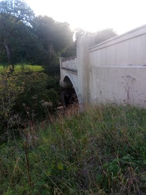
Ferniehirst Bridge, bridge south of Jedburgh, Scottish Borders, Scotland, UK, carries the A68 road across Jed Water
Ubicación: Scottish Borders
Ubicación: Jedburgh
Coordenadas GPS: 55.45810,-2.55863
Última actualización: 6 de abril de 2025 a las 20:30
Ferniehirst Castle
630 m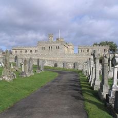
Jedburgh Castle
1.8 km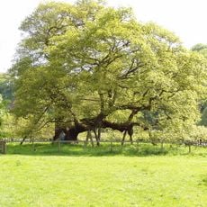
Capon Oak Tree
522 m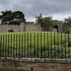
Jedburgh Castle Jail & Museum
1.8 km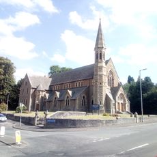
Old Parish Church
1.9 km
Inchbonny, Newcastle Road, Jedburgh
1.3 km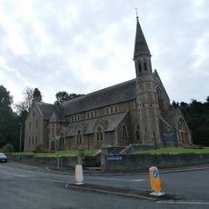
Jedburgh, High Street, Trinity Church
1.9 km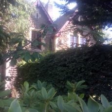
Kirkland House
1.8 km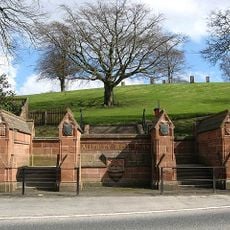
Gatepiers And Boundary Wall, Allerley Well Park, Newcastle Road, Jedburgh
1.7 km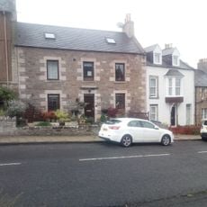
89 Castlegate, Jedburgh
1.9 km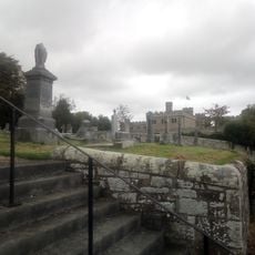
Castlegate Cemetery
1.7 km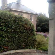
The Hermitage, Galahill, Jedburgh
1.8 km
Drinking Fountain, Allerley Well Park, Newcastle Road, Jedburgh
1.7 km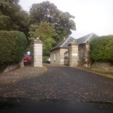
Lodge, Glenburn Hall
1.6 km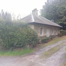
Lodge, Lintlee
186 m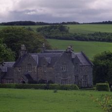
Hundalee
394 m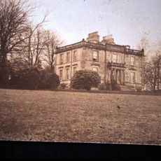
Glenburn Hall
1.8 km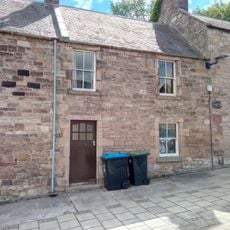
74 Castlegate, Jedburgh
1.9 km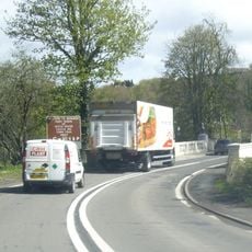
Jedburgh, Newcastle Road, Inchbonny Bridge
1.2 km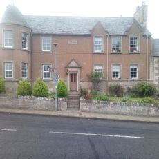
91 Castlegate, Jedburgh
1.9 km
76 Castlegate, Jedburgh
1.9 km
Lynwell And Castle Dene,
1.9 km
Jedwater House, Outbuilding
1.1 km
72 Castlegate, Jedburgh
1.9 km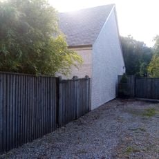
Garage, Inchbonny, Newcastle Road, Jedburgh
1.4 km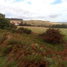
Stables, Glenburn Hall
1.8 km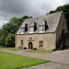
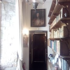
Ferniehirst Castle Visitor Centre (Former Chapel)
609 m
Glendouglas
972 mOpiniones
¿Has visitado este lugar? Toca las estrellas para valorarlo y compartir tu experiencia o fotos con la comunidad. ¡Pruébalo ahora! Puedes cancelarlo en cualquier momento.
¡Encuentra tesoros escondidos en cada aventura!
Desde cafeterías con encanto hasta miradores secretos, escapa de las multitudes y encuentra lugares que van contigo de verdad. Nuestra app te lo pone fácil: búsqueda por voz, filtros inteligentes, rutas optimizadas y consejos auténticos de viajeros de todo el mundo. ¡Descárgala ya y vive la aventura en tu móvil!

Un enfoque novedoso para descubrir el turismo❞
— Le Figaro
Todos los lugares que merecen ser explorados❞
— France Info
Una excursión a medida en solo unos clics❞
— 20 Minutes