
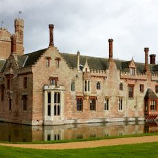
Park House Including Stable Yard To East, architectural structure in Stoke Ferry, King's Lynn and West Norfolk, Norfolk, UK
Ubicación: Stoke Ferry
Coordenadas GPS: 52.57043,0.51409
Última actualización: 6 de marzo de 2025 a las 01:00

Oxburgh Hall
4 km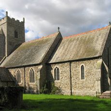
Church of All Saints
2.3 km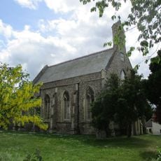
Church of All Saints
32 m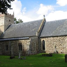
Church of St Margaret
2.9 km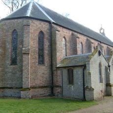
Church of the Immaculate Conception of the Blessed Virgin Mary and St Margaret
3.9 km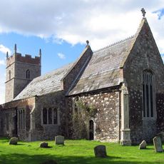
Church of All Saints
1.4 km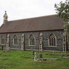
Christchurch
1.3 km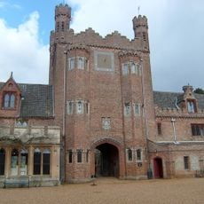
Park Boundary Wall Including Tower And Gateway
3.7 km
Stoke Ferry War Memorial
48 m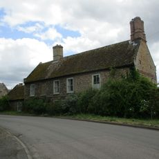
Canterbury House
103 m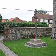
Boughton War Memorial
2.3 km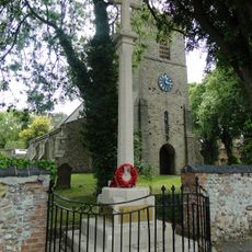
Wereham War Memorial
3 km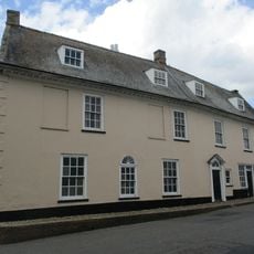
Cobbles
97 m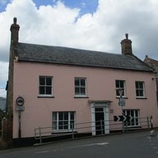
Crown House
41 m
All Saints Lodge
44 m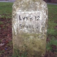
Milestone, opp. village hall, Church Rd
3.1 km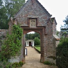
Pedestrian Gateway Approximately 70 Metres North East Of Oxburgh Hall
4.1 km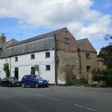
The Old Granary
29 m
Hall Farmhouse
4 km
The Surgery
75 m
Chapel Lodge
3.9 km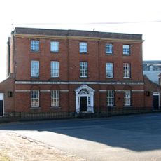
Stoke Ferry Hall
81 m
The Old Chemists Shop
31 m
Former Stables, Coach House And Attached Gate Posts
4.1 km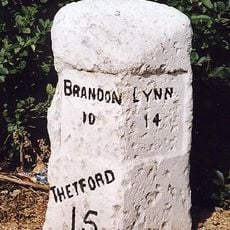
Milestone, Bridge Rd 20yds S of Hawthorn Lodge
277 m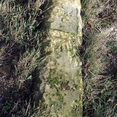
Milestone, Methwold Rd, Whittington
1.8 km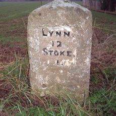
Milestone, Lynn Road, by 'The Four Winds',
1.5 km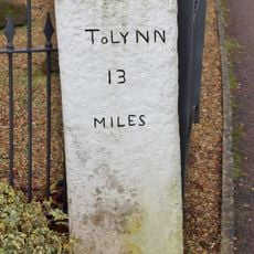
Milestone, Opposite The Blue Bell
413 mOpiniones
¿Has visitado este lugar? Toca las estrellas para valorarlo y compartir tu experiencia o fotos con la comunidad. ¡Pruébalo ahora! Puedes cancelarlo en cualquier momento.
¡Encuentra tesoros escondidos en cada aventura!
Desde cafeterías con encanto hasta miradores secretos, escapa de las multitudes y encuentra lugares que van contigo de verdad. Nuestra app te lo pone fácil: búsqueda por voz, filtros inteligentes, rutas optimizadas y consejos auténticos de viajeros de todo el mundo. ¡Descárgala ya y vive la aventura en tu móvil!

Un enfoque novedoso para descubrir el turismo❞
— Le Figaro
Todos los lugares que merecen ser explorados❞
— France Info
Una excursión a medida en solo unos clics❞
— 20 Minutes