
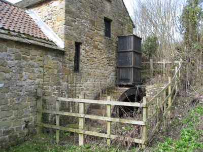
Fallgate Mill, Grade II listed watermill in Ashover, North East Derbyshire, Derbyshire, UK
Ubicación: Ashover
Coordenadas GPS: 53.15646,-1.47188
Última actualización: 3 de junio de 2025 a las 11:06
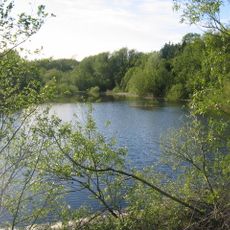
Ogston Reservoir
3.1 km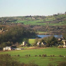
Ogston Hall
3.5 km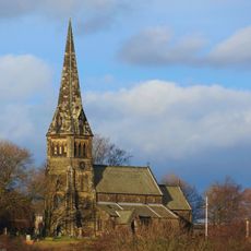
St Bartholomew’s Church, Clay Cross
3.9 km
Church of All Saints
1 km
Holy Trinity Church, Tansley
3.9 km
Holy Trinity Church
3.8 km
Ashover Hay Primitive Methodist Chapel
1.2 km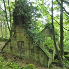
Ruins of Trinity Chapel
3 km
The Miners Arms Public House
551 m
Overton Hall and attached outbuildings
760 m
Dale Cottage Farmhouse
878 m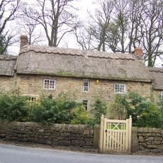
Stubben Edge Cottage
838 m
Clattercotes Farmhouse
2 km
West Bank, attached wall and gate piers, and attached outbuilding to south
921 m
K6 telephone kiosk north of West Bank
932 m
High Ashes Farmhouse
3.8 km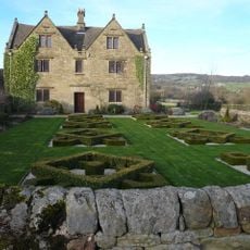
Raven House
1.1 km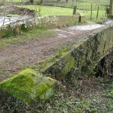
Footbridge
826 m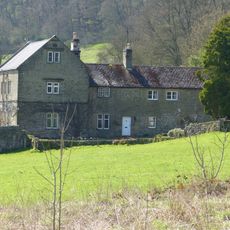
Ravensnest and attached farm buildings Ravensnest and The Beeches
915 m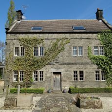
Holmgate House
2.5 km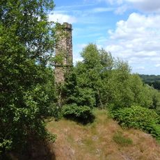
Chimney at Ravensnest
1 km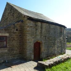
Outbuilding to the south of Clattercotes Farmhouse
2 km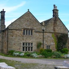
Manor House Farmhouse
3.6 km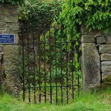
Pound to the south of the Miners Arms
599 m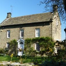
West View
1.3 km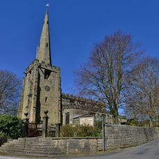
Gatepiers And Steps To The South Of Church Of All Saints
982 m
Three Bridges At Smithymoor Nr Stretton Station
3.4 km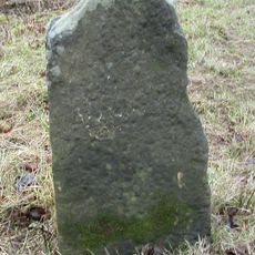
Milestone, Chesterfield Road; opp. Matlock Golf Club
3.9 kmOpiniones
¿Has visitado este lugar? Toca las estrellas para valorarlo y compartir tu experiencia o fotos con la comunidad. ¡Pruébalo ahora! Puedes cancelarlo en cualquier momento.
¡Encuentra tesoros escondidos en cada aventura!
Desde cafeterías con encanto hasta miradores secretos, escapa de las multitudes y encuentra lugares que van contigo de verdad. Nuestra app te lo pone fácil: búsqueda por voz, filtros inteligentes, rutas optimizadas y consejos auténticos de viajeros de todo el mundo. ¡Descárgala ya y vive la aventura en tu móvil!

Un enfoque novedoso para descubrir el turismo❞
— Le Figaro
Todos los lugares que merecen ser explorados❞
— France Info
Una excursión a medida en solo unos clics❞
— 20 Minutes