
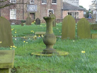
Sundial in churchyard to south west of Church of St John the Baptist
Sundial in churchyard to south west of Church of St John the Baptist, Grade II listed sundial in Knutsford, Cheshire East, Cheshire, UK
Ubicación: Knutsford
Coordenadas GPS: 53.30295,-2.37377
Última actualización: 5 de marzo de 2025 a las 20:42
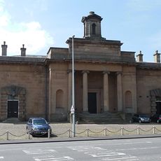
Sessions House
79 m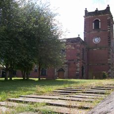
St John the Baptist's Church, Knutsford
60 m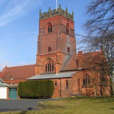
St Cross Church, Knutsford
453 m
Brook Street Chapel, Knutsford
281 m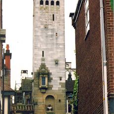
Gaskell Memorial Tower and King's Coffee House
141 m
10A, Princess Street
126 m
8 and 10, Princess Street
114 m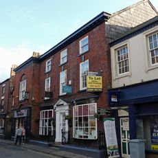
12, Princess Street
132 m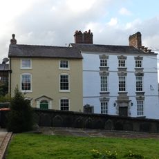
1 and 2, Church Hill
81 m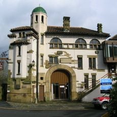
Ruskin Rooms
424 m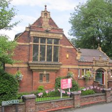
Knutsford Library
281 m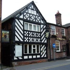
The White Lion Public House
279 m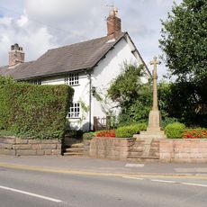
Over Knutsford War Memorial
507 m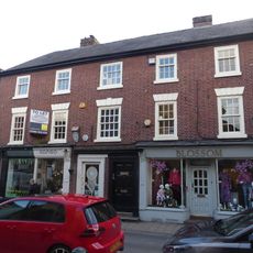
4, 4A And 6, Princess Street
95 m
Lamp post at the junction of Mereheath Lane and Knutsford Drive
538 m
Heathwaite
322 m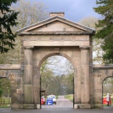
Knutsford Lodge Gateway and gates to Tatton Park
629 m
The White Bear Public House
258 m
High Morland Lodge
797 m
125, King Street
351 m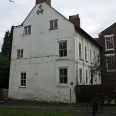
131, King Street
422 m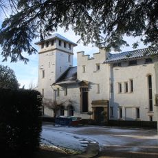
High Morland And Harding House
765 m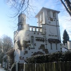
Breeze
752 m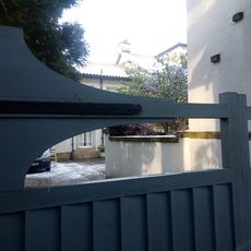
Alwarden Hill And The Gate House And Attached Screen Wall
812 m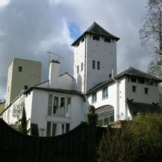
13, Drury Lane
436 m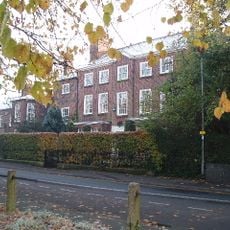
Gate and railings to front garden of Number 17
332 m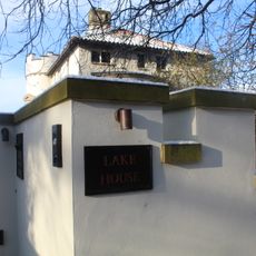
Lake House
729 m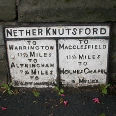
Milepost, Toft Road
13 mOpiniones
¿Has visitado este lugar? Toca las estrellas para valorarlo y compartir tu experiencia o fotos con la comunidad. ¡Pruébalo ahora! Puedes cancelarlo en cualquier momento.
¡Encuentra tesoros escondidos en cada aventura!
Desde cafeterías con encanto hasta miradores secretos, escapa de las multitudes y encuentra lugares que van contigo de verdad. Nuestra app te lo pone fácil: búsqueda por voz, filtros inteligentes, rutas optimizadas y consejos auténticos de viajeros de todo el mundo. ¡Descárgala ya y vive la aventura en tu móvil!

Un enfoque novedoso para descubrir el turismo❞
— Le Figaro
Todos los lugares que merecen ser explorados❞
— France Info
Una excursión a medida en solo unos clics❞
— 20 Minutes