
Farmbuildings To West Of Harwood Shield Farmhouse
Farmbuildings To West Of Harwood Shield Farmhouse, agricultural structure in Hexhamshire, Northumberland, UK
Ubicación: Hexhamshire
Coordenadas GPS: 54.85675,-2.14754
Última actualización: 2 de diciembre de 2025 a las 19:54
Farmbuildings 20 Metres North Of Park House Farmhouse
2.7 km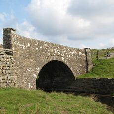
Bridge On Riddlehamhope Track 170 Metres South Of Farmhouse
171 m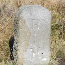
Milestone At Ngr Ny92464979 On North Side Of Track
2.4 km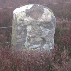
Boundary Stone At Ngr Ny 87705048
3 km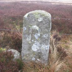
Boundary Stone At Ngr Ny 88275112, On West Side Of Fence 14 Metres North Of Fence Junction
2.4 km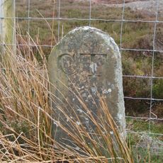
Boundary Stone
2.9 km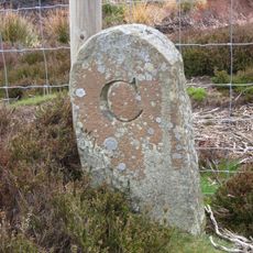
Boundary Stone 100 Metres North Of Shooting Box
2.7 km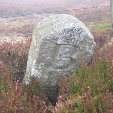
Boundary Stone At Ngr Ny 87945076
2.7 km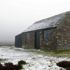
Shooting Box
2.7 km
Boundary Stone Inside Fence Corner , In Rowantree Cleugh
1.8 km
Park House Farmhouse And Adjacent Outbuilding
2.7 km
Harwood Shield Farmhouse
43 m
Boundary Stone At Harwood Carrs On East Side Of Fence
3.2 km
Boundary Stone At Ngr Ny 88565140, On East Side Of Fence
2.1 km
Boundary Stone At Ngr Ny 88125094
2.5 km
Beldon lead mine and ore works at Beldon Shields
2.9 km
Burntshieldhaugh Fell prehistoric settlement and field system, 570m east of Ivy Pool
2.4 km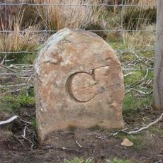
Boundary Stone 360 Metres East Of Shooting Box
3 km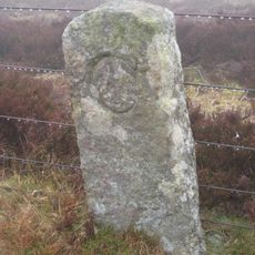
Boundary Stone At Ngr Ny 88425126
2.2 km
Prehistoric hut circle settlement, farmstead and field system, 425m east of Burntshield Haugh
2.9 km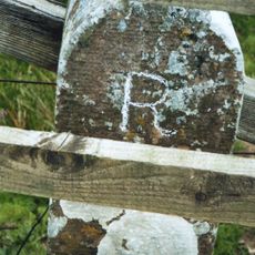
Milestone On East Side Of Riddlehamhope Track 2.5 Metres South Of Bridge
181 m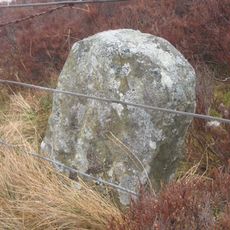
Boundary Stone On East Side Of Fence On Edge Of Rowantree Cleugh
1.9 km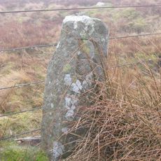
Boundary Stone At Ngr Ny 88685154
2 km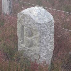
Boundary Stone At Ngr Ny 87815058
2.9 km
Hut circle settlement and field system, Romano-British settlement, hush and lead ore works, 750m north east of Burntshield Haugh
3.2 km
Cairnfield 730m south east of Burntshield Haugh
2.8 km
Outbuilding 15 Metres North Of Hesleywell Farmhouse
1.8 km
Stone House, 200 Metres South-West Of Hackford Farm
3.1 kmOpiniones
¿Has visitado este lugar? Toca las estrellas para valorarlo y compartir tu experiencia o fotos con la comunidad. ¡Pruébalo ahora! Puedes cancelarlo en cualquier momento.
¡Encuentra tesoros escondidos en cada aventura!
Desde cafeterías con encanto hasta miradores secretos, escapa de las multitudes y encuentra lugares que van contigo de verdad. Nuestra app te lo pone fácil: búsqueda por voz, filtros inteligentes, rutas optimizadas y consejos auténticos de viajeros de todo el mundo. ¡Descárgala ya y vive la aventura en tu móvil!

Un enfoque novedoso para descubrir el turismo❞
— Le Figaro
Todos los lugares que merecen ser explorados❞
— France Info
Una excursión a medida en solo unos clics❞
— 20 Minutes