
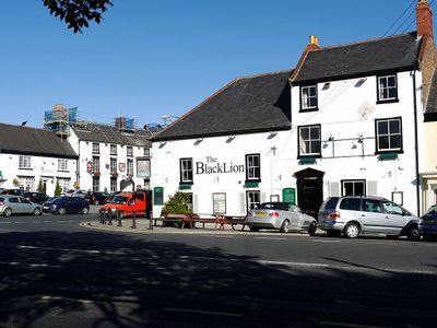
Black Lion Public House And Former Stable Wing, pub in Sedgefield, County Durham, UK
Ubicación: Sedgefield
Coordenadas GPS: 54.65374,-1.45126
Última actualización: 22 de abril de 2025 a las 06:15
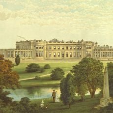
Wynyard Park
7.2 km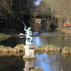
Hardwick Hall Country Park
1.1 km
Hardwick Hall Hotel
1 km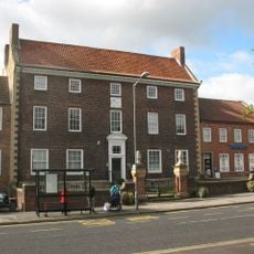
The Manor House
84 m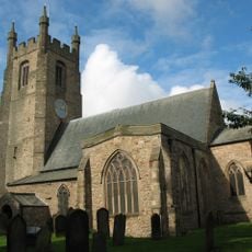
Church of St Edmund
184 m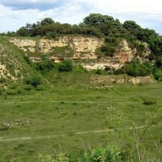
Bishop Middleham Quarry
4.4 km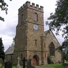
St Peter's Church, Bishopton
7.7 km
Church of St. Mary Magdalene
5.6 km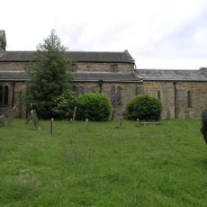
Church of St Michael and All Angels
3.6 km
Church of All Saints
7 km
St John the Divine Church
5.7 km
Church of St Mary
6.7 km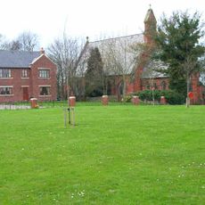
Church of the Holy Trinity
7 km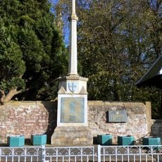
War Memorial, 40 Metres West of Church of St Edmund
127 m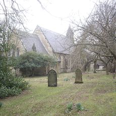
Church of St Luke
7.7 km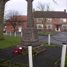
Bishopton War Memorial
7.7 km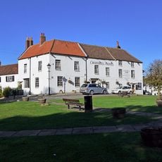
Crosshill Hotel
88 m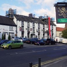
Hardwick Arms Hotel
45 m
Nss Newsagents
100 m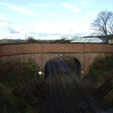
Road Bridge, 15 Metres South Of The Former Sedgefield Railway Station
2.5 km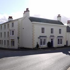
Sedgefield House
224 m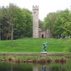
Gothick Gatehouse To Hardwick Park
881 m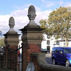
Gate Piers, 10 Metres East Of Magistrate's Court House
75 m
Remains of village cross 15 metres west of Church of St Peter
7.7 km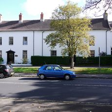
The White House
130 m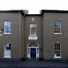
Ceddesfeld Hall
205 m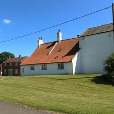
Manor Farmhouse
6.7 km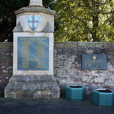
Churchyard Wall, 40 Metres West Of Church Of St Edmund Churchyard Wall, 50 Metres South West Of Church Of St Edmund
126 mOpiniones
¿Has visitado este lugar? Toca las estrellas para valorarlo y compartir tu experiencia o fotos con la comunidad. ¡Pruébalo ahora! Puedes cancelarlo en cualquier momento.
¡Encuentra tesoros escondidos en cada aventura!
Desde cafeterías con encanto hasta miradores secretos, escapa de las multitudes y encuentra lugares que van contigo de verdad. Nuestra app te lo pone fácil: búsqueda por voz, filtros inteligentes, rutas optimizadas y consejos auténticos de viajeros de todo el mundo. ¡Descárgala ya y vive la aventura en tu móvil!

Un enfoque novedoso para descubrir el turismo❞
— Le Figaro
Todos los lugares que merecen ser explorados❞
— France Info
Una excursión a medida en solo unos clics❞
— 20 Minutes