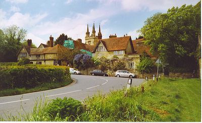
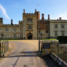
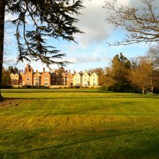
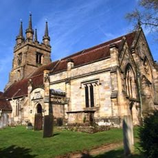
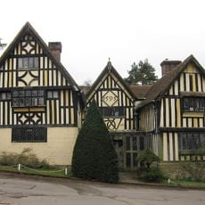
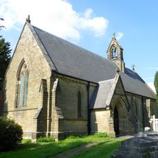
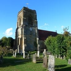
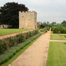
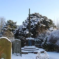
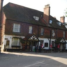
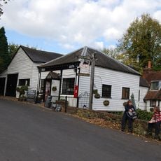
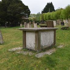
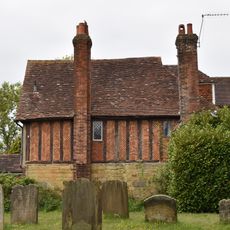
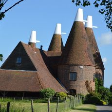
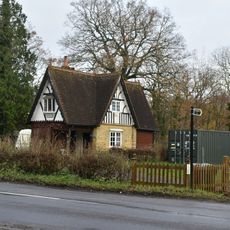
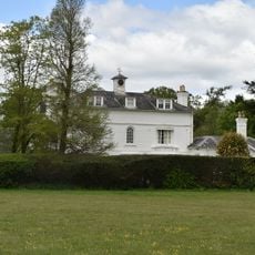
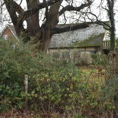
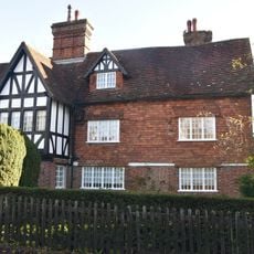
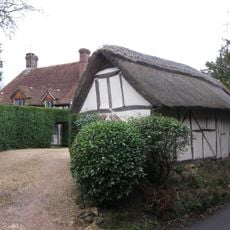
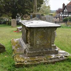
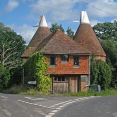
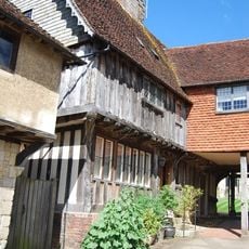
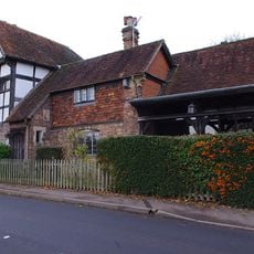
Penshurst, village and civil parish in Kent, England
Ubicación: Sevenoaks
Comparte frontera con: Chiddingstone
Coordenadas GPS: 51.17041,0.17997
Última actualización: 9 de marzo de 2025 a las 08:06
Penshurst Place
533 m
Swaylands
944 m
Church of St John the Baptist, Penshurst
430 m
The Picture House
2.2 km
Church of St Peter
3.1 km
Church of St Mary the Virgin
3.5 km
South central entrance tower to Penshurst Place and wall abutting to east
528 m
Speldhurst War Memorial
3.5 km
The Leicester Arms Hotel
330 m
The Spotted Dog Public House
1.6 km
Anonymous Chest Tomb Approximately 1.5 Metres South Of The Chancel Of The Church Of St Mary The Virgin
3.5 km
The Manor
3.6 km
The George And Dragon
3.6 km
The Old Farmhouse
3.1 km
Larkins Farmhouse
2.6 km
Old Place
3.5 km
Oast Houses And Drying Shed To South Of Larkins Farm
2.5 km
Langton Park Lodge
4.2 km
Killick's Bank
2.2 km
Langton House
4.6 km
Tender Meads
3.4 km
Shadwell
3.6 km
Barn Approximately 6 Metres North East Of Little Laverall
3 km
Morley Chest Tomb Approximately 7 Metres South Of The Tower Of The Church Of St Mary The Virgin
3.5 km
Triangle Oast
2.5 km
The Old Guildhouse
414 m
Star House Including Boutique
66 m
Forge Approximately 5 Metres North Of Forge House
4.6 kmOpiniones
¿Has visitado este lugar? Toca las estrellas para valorarlo y compartir tu experiencia o fotos con la comunidad. ¡Pruébalo ahora! Puedes cancelarlo en cualquier momento.
¡Encuentra tesoros escondidos en cada aventura!
Desde cafeterías con encanto hasta miradores secretos, escapa de las multitudes y encuentra lugares que van contigo de verdad. Nuestra app te lo pone fácil: búsqueda por voz, filtros inteligentes, rutas optimizadas y consejos auténticos de viajeros de todo el mundo. ¡Descárgala ya y vive la aventura en tu móvil!
Un enfoque novedoso para descubrir el turismo❞
— Le Figaro
Todos los lugares que merecen ser explorados❞
— France Info
Una excursión a medida en solo unos clics❞
— 20 Minutes