
Timsbury, village and civil parish in Bath and North East Somerset, Somerset, England
Ubicación: Bath and North East Somerset
Coordenadas GPS: 51.32680,-2.47570
Última actualización: 15 de marzo de 2025 a las 14:41
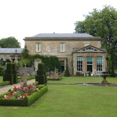
Camerton Court
2.1 km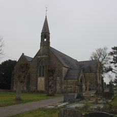
St John's Church, Peasedown St John
3.2 km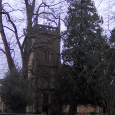
Church of the Holy Trinity, Paulton
2.9 km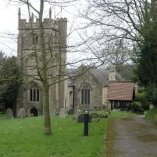
Church of St Peter, Camerton Park
2.2 km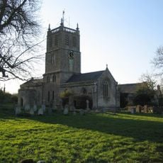
Church of St Luke and St Andrew, Priston
3.2 km
Church of St Peter, Marksbury
3.6 km
Highbury Hill
3.5 km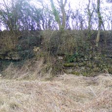
Bowlditch Quarry
2.9 km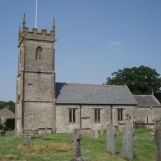
Church of All Saints, Farmborough
2 km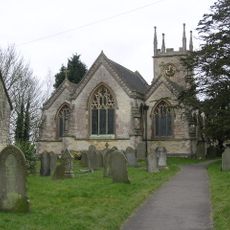
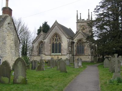
Church of St Mary the Virgin
261 m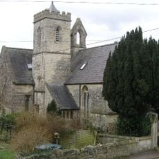
Holy Trinity Church, Clandown
2.9 km
Red Post Inn
3.3 km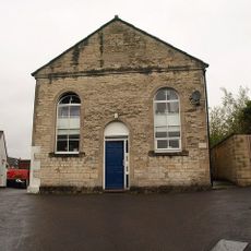
Welton Baptist Chapel
3.8 km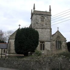
Church of Holy Trinity
2.5 km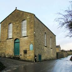
Withyditch Baptist Chapel
3.4 km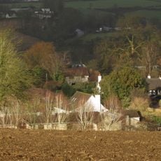
Thatched Cottage
1.9 km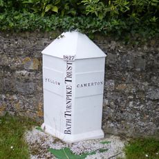
Boundary Marker About 10 Metres South West Of Red Post Inn
3.3 km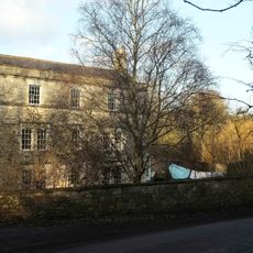
Radford House Farmhouse
1.1 km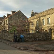
Pitfour House
153 m
Conygre House
2.3 km
Tunley Farmhouse
1.6 km
Hunstrete House, Flank Wall And West Wing
3.8 km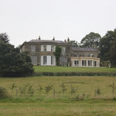
Parish's House
387 m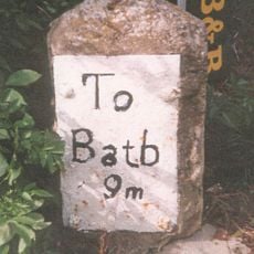
Milestone, Bath Road, Farmborough village, jct with Hunstrete Road
2.3 km
Milestone, Bath New Road; out of Radstock
3.5 km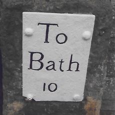
Milestone, High Street, just S of Eastover Road jct
2.4 km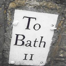
Milestone, Hallatrow, Wells Road, at Hart's Lane jct
3.6 km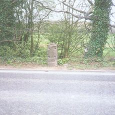
Milestone, Peasedown Flat, nr entrance to Woodborough House
3.1 km¿Has visitado este lugar? Toca las estrellas para valorarlo y compartir tu experiencia o fotos con la comunidad. ¡Pruébalo ahora! Puedes cancelarlo en cualquier momento.
¡Encuentra tesoros escondidos en cada aventura!
Desde cafeterías con encanto hasta miradores secretos, escapa de las multitudes y encuentra lugares que van contigo de verdad. Nuestra app te lo pone fácil: búsqueda por voz, filtros inteligentes, rutas optimizadas y consejos auténticos de viajeros de todo el mundo. ¡Descárgala ya y vive la aventura en tu móvil!

Un enfoque novedoso para descubrir el turismo❞
— Le Figaro
Todos los lugares que merecen ser explorados❞
— France Info
Una excursión a medida en solo unos clics❞
— 20 Minutes