
Stonesfield, village and civil parish in West Oxfordshire, England
Ubicación: West Oxfordshire
Comparte frontera con: Spelsbury, Fawler, North Leigh, Combe, Wootton, Glympton, Kiddington with Asterleigh
Sitio web: http://stonesfield.info
Coordenadas GPS: 51.85100,-1.42900
Última actualización: 14 de abril de 2025 a las 17:59
Ditchley
4.1 km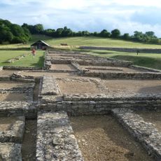
North Leigh Roman Villa
1.7 km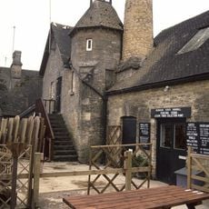
Combe Mill
3 km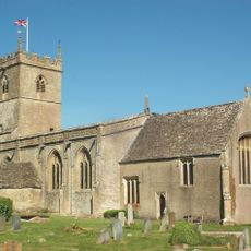
St Laurence's Church
2.3 km
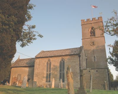
Church of St James the Great
82 m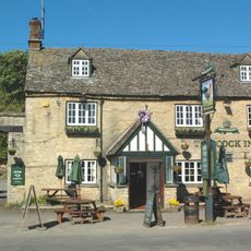
The Cock Inn
2.1 km
Church of St Peter
2.9 km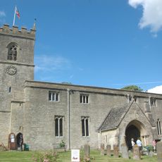
Church of St Mary, Wootton, Oxfordshire
5.3 km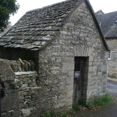
Lockup approximately 20 metres north east of Church of Saint James the Great
67 m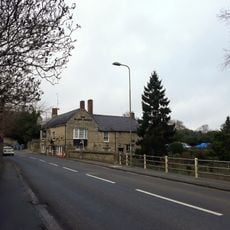
The Black Horse Public House
4.8 km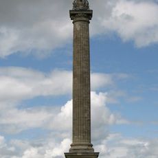
Column Of Victory
4.1 km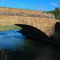
Railway Bridge At Sp 3719 1682
2.2 km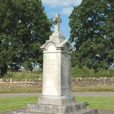
Combe War Memorial
2.1 km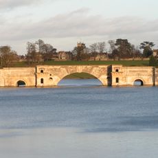
Grand Bridge
4.5 km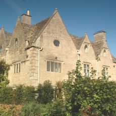
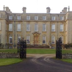
Finstock Manor House
3.3 km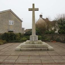
Long Hanborough War Memorial
3.8 km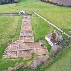
Stonesfield Roman villa
517 m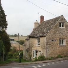
Old Bakery
317 m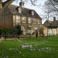
Egypt
4.3 km
Park Walls, Surrounding Blenheim Park
2.4 km
Parrotts
5.2 km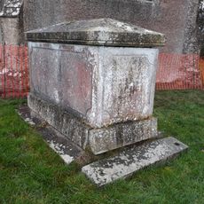
Church of Lawrence, Chest Tomb Approximately 10 North North East of Nave
2.3 km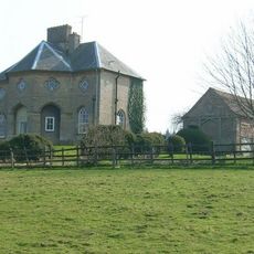
Lodge Farmhouse
2.9 km
The Homestead
4.3 km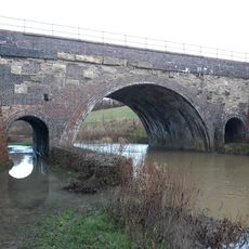
River Evenlode railway bridge SP398155
1.6 km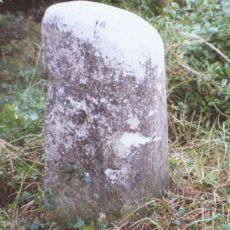
Milestone, Hill Wood
4.8 km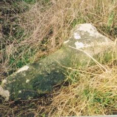
Milestone, Fawler Road; Cornbury Park, up hill from Finstock Station and 30m N of lay-by
3.3 km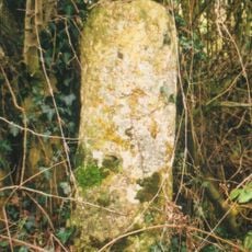
Milestone, Witney Road; Freeland, E of Telephone Exchange
3.4 kmOpiniones
¿Has visitado este lugar? Toca las estrellas para valorarlo y compartir tu experiencia o fotos con la comunidad. ¡Pruébalo ahora! Puedes cancelarlo en cualquier momento.
¡Encuentra tesoros escondidos en cada aventura!
Desde cafeterías con encanto hasta miradores secretos, escapa de las multitudes y encuentra lugares que van contigo de verdad. Nuestra app te lo pone fácil: búsqueda por voz, filtros inteligentes, rutas optimizadas y consejos auténticos de viajeros de todo el mundo. ¡Descárgala ya y vive la aventura en tu móvil!

Un enfoque novedoso para descubrir el turismo❞
— Le Figaro
Todos los lugares que merecen ser explorados❞
— France Info
Una excursión a medida en solo unos clics❞
— 20 Minutes