
West Challow, village and civil parish in Vale of White Horse district, Oxfordshire, England
Ubicación: Vale of White Horse
Comparte frontera con: East Challow, Denchworth, Goosey, Stanford in the Vale, Childrey, Letcombe Bassett, Letcombe Regis
Coordenadas GPS: 51.59200,-1.47200
Última actualización: 25 de marzo de 2025 a las 04:33
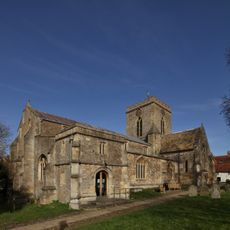
Church of St Peter and St Paul
3 km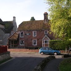
Vale and Downland Museum
3.1 km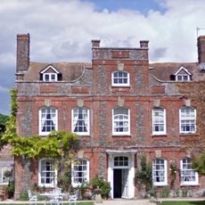
Manor Farmhouse
352 m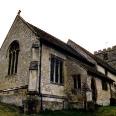
Church of St Andrew
2.2 km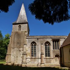
Church of the Holy Rood
2.1 km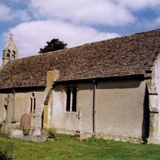
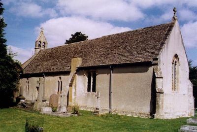
Church of St Laurence
67 m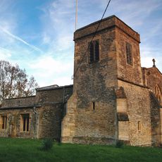
Church of St James
3.7 km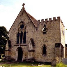
Church of St Nicholas
1.4 km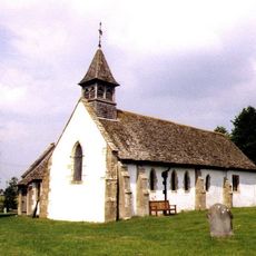
Church of All Saints
3.6 km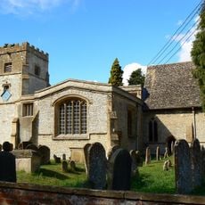
Church of St Mary
813 m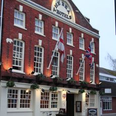
The Bear Hotel
3.1 km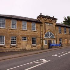
Challow Industries
1.4 km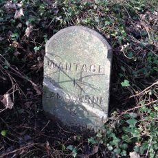
Milestone At Su 3845 8765
1.9 km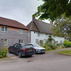
Mallards Cottage And The Old Post Office
858 m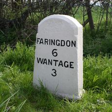
Milestone At Su 3612 9010
1.9 km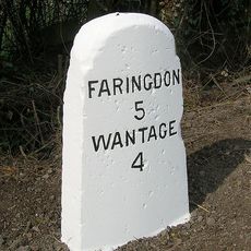
Milestone At Su 3505 9126
3.4 km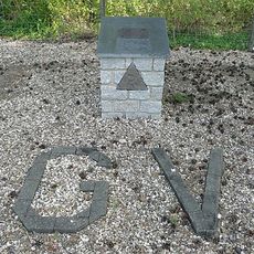
RAF Grove Memorial
2.1 km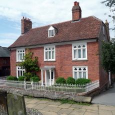
Number 2 and attached wall
3 km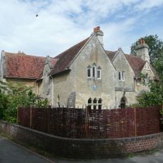
The Vicarage
3 km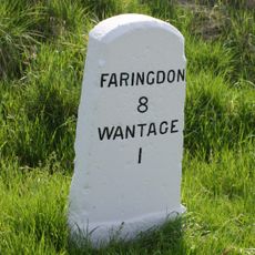
Milestone At Sp 3819 8795
1.5 km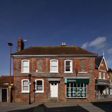
32 and 33, Market Place
3.1 km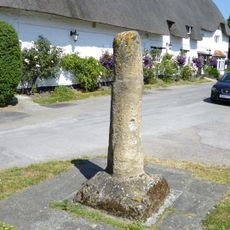
Village Cross Stump
3.8 km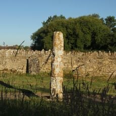
Base And Stump Of Churchyard Cross Approximately 12 Metres North Of Church Of All Saints
3.6 km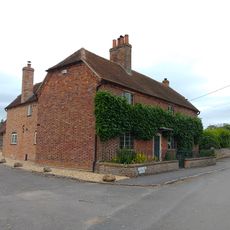
Hazeldene, With Railings Attached To Front
832 m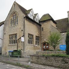
Parish Of Wantage Church Infants School
3.1 km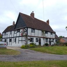
Roselea And Roselea Cottage
887 m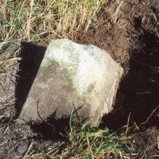
Milestone, Icknield Way; before Sparsholt X-roads
1.8 km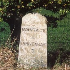
Milestone, Icknield Way; top of rise by Westcot
3.1 kmOpiniones
¿Has visitado este lugar? Toca las estrellas para valorarlo y compartir tu experiencia o fotos con la comunidad. ¡Pruébalo ahora! Puedes cancelarlo en cualquier momento.
¡Encuentra tesoros escondidos en cada aventura!
Desde cafeterías con encanto hasta miradores secretos, escapa de las multitudes y encuentra lugares que van contigo de verdad. Nuestra app te lo pone fácil: búsqueda por voz, filtros inteligentes, rutas optimizadas y consejos auténticos de viajeros de todo el mundo. ¡Descárgala ya y vive la aventura en tu móvil!

Un enfoque novedoso para descubrir el turismo❞
— Le Figaro
Todos los lugares que merecen ser explorados❞
— France Info
Una excursión a medida en solo unos clics❞
— 20 Minutes