
Mollington, village and civil parish in Cherwell district, Oxfordshire, England
Ubicación: Cherwell District
Coordenadas GPS: 52.12313,-1.35642
Última actualización: 3 de marzo de 2025 a las 00:23
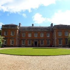
Farnborough Hall
2 km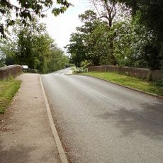
Cropredy Bridge
3 km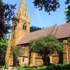
St John the Baptist's Church, Avon Dassett
4.1 km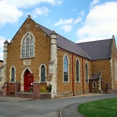
Cropredy Methodist Church
2.7 km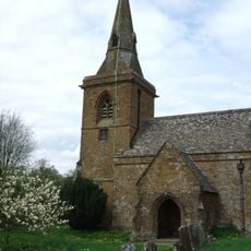
Church of St Botolph, Farnborough, Warks
2.3 km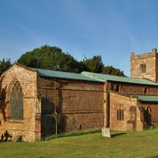
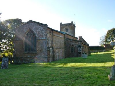
Church of All Saints
118 m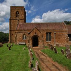
Church of St Michael
3.2 km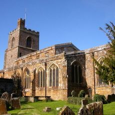
Church of St Mary the Virgin
2.8 km
Church of St James the Great
3.1 km
Church of St Lawrence
2.4 km
Church of All Saints
2.4 km
Bygones Museum
3 km
Roman Catholic Church of St Joseph and Attached Presbytery
4.1 km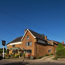
The Brasenose Arms
2.7 km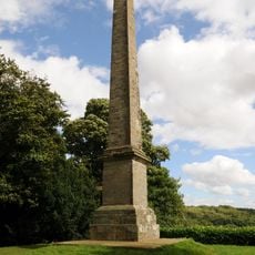
Farnborough Hall The Obelisk
1.7 km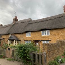
Beam Cottage Dingles And Cottage Abutting On Right
2.8 km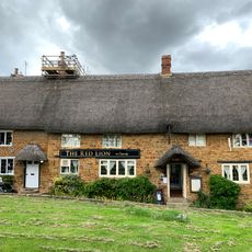
Red Lion Public House
2.9 km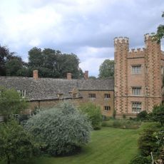
Hanwell Castle
3.8 km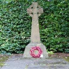
Avon Dasset War Memorial
4.1 km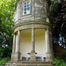
Farnborough Hall The Oval Pavilion
1.8 km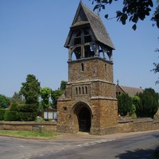
Lychgate at Church of All Saints
2.4 km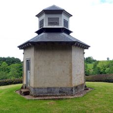
The Game Larder
2.1 km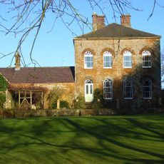
Prescote Manor
3.2 km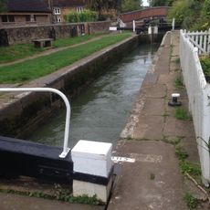
Cropredy Lock Oxford Canal
2.9 km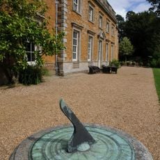
Farnborough Hall Sundial Approximately 4 Metres West
2.3 km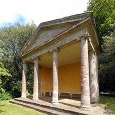
The Ionic Temple
2 km
Constone
2.7 km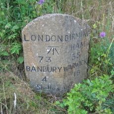
Milestone, rear northern village turn
2.9 km¿Has visitado este lugar? Toca las estrellas para valorarlo y compartir tu experiencia o fotos con la comunidad. ¡Pruébalo ahora! Puedes cancelarlo en cualquier momento.
¡Encuentra tesoros escondidos en cada aventura!
Desde cafeterías con encanto hasta miradores secretos, escapa de las multitudes y encuentra lugares que van contigo de verdad. Nuestra app te lo pone fácil: búsqueda por voz, filtros inteligentes, rutas optimizadas y consejos auténticos de viajeros de todo el mundo. ¡Descárgala ya y vive la aventura en tu móvil!

Un enfoque novedoso para descubrir el turismo❞
— Le Figaro
Todos los lugares que merecen ser explorados❞
— France Info
Una excursión a medida en solo unos clics❞
— 20 Minutes