
Rye Foreign, village in United Kingdom
Ubicación: Rother
Coordenadas GPS: 50.97086,0.70369
Última actualización: 9 de marzo de 2025 a las 23:08
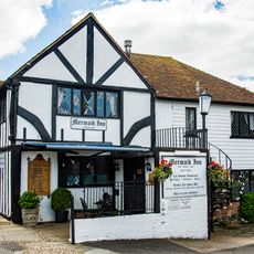
Posada Mermaid
3 km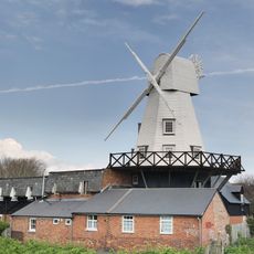
Gibbet Mill
2.8 km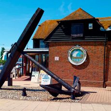
Rye Heritage Centre
3 km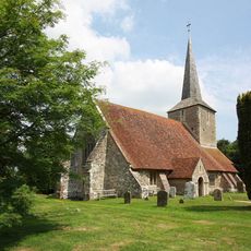
The Parish Church of St Michael
2.3 km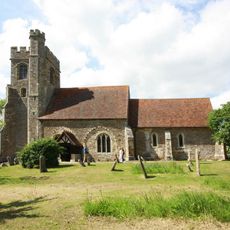
The Parish Church of All Saints
2 km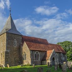
The Parish Church of St Peter and St Paul
1.4 km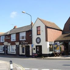
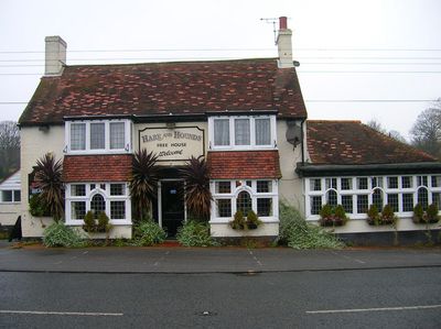
The Crown Inn
2.9 km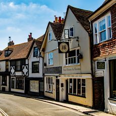
The Standard Inn
2.9 km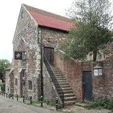
Austin Friars Chapel
3 km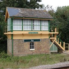
Rye Signal Box
2.8 km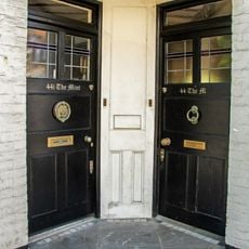
44 And 44A, High Street
2.9 km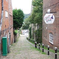
Conduit Hill
3 km
Mermaid Passage
3 km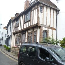
67, High Street
3 km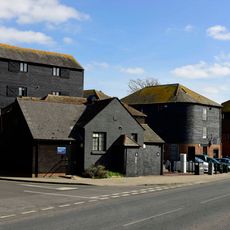
Warehouses Or Granaries On The West Side Of The Strand And In The Occupation Of Stonham And Company Agricultural Merchants And H R Clothier Agricultural And Marine Engineers And The Garden Centre
3 km
Portion Of The Town Walls To The South Of Cinque Ports Street And West Of Conduit Hill
3 km
17, West Street
3 km
The Old House
3 km
37-67, Military Road
2.8 km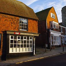
26, Landgate
3 km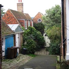
The Old Coach House
3 km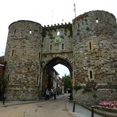
The Landgate
3 km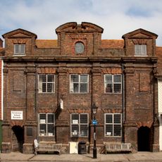
The Old Grammar School
3 km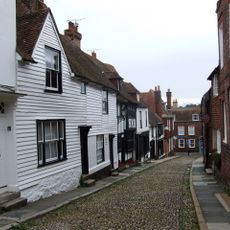
West Street
3 km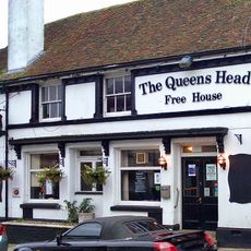
15-24, Landgate
3 km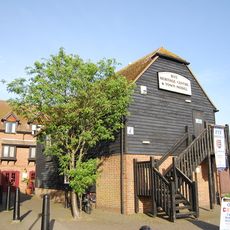
Rye Heritage Centre
3 km
Milestone, Rye Road Hill, opp. Top o' the Hill PH, 25m N of jct with Saltcote Lane
2.4 km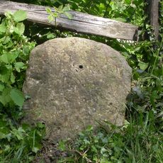
Milestone, Rye Road at TQ8975122482
178 mOpiniones
¿Has visitado este lugar? Toca las estrellas para valorarlo y compartir tu experiencia o fotos con la comunidad. ¡Pruébalo ahora! Puedes cancelarlo en cualquier momento.
¡Encuentra tesoros escondidos en cada aventura!
Desde cafeterías con encanto hasta miradores secretos, escapa de las multitudes y encuentra lugares que van contigo de verdad. Nuestra app te lo pone fácil: búsqueda por voz, filtros inteligentes, rutas optimizadas y consejos auténticos de viajeros de todo el mundo. ¡Descárgala ya y vive la aventura en tu móvil!

Un enfoque novedoso para descubrir el turismo❞
— Le Figaro
Todos los lugares que merecen ser explorados❞
— France Info
Una excursión a medida en solo unos clics❞
— 20 Minutes