
Fulbrook, village and civil parish in Oxfordshire, UK
Ubicación: West Oxfordshire
Comparte frontera con: Shipton-under-Wychwood, Swinbrook and Widford
Sitio web: http://fulbrookvillage.net
Coordenadas GPS: 51.81500,-1.62500
Última actualización: 6 de marzo de 2025 a las 10:33
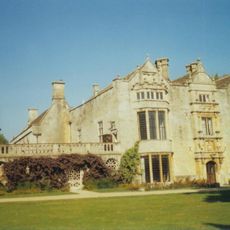
Burford Priory
1.1 km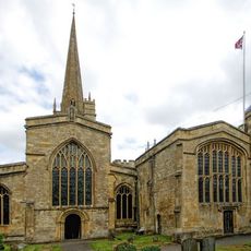
Church of St John the Baptist, Burford
868 m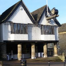
The Tolsey
1.2 km
Burford Methodist Church
1.1 km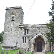
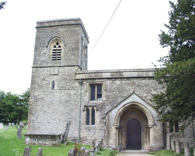
Church of Saint James the Great
115 m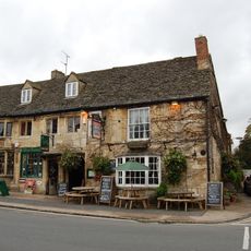
The Cotswold Arms Inn
1 km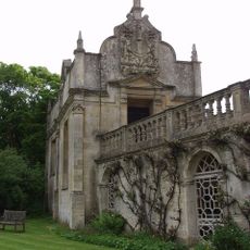
Chapel Of St John
1.2 km
Warwick Hall
908 m
Link Between The Priory And Lenthall's Chapel
1.1 km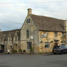
The Lamb Hotel And Attached Mounting Block
1.2 km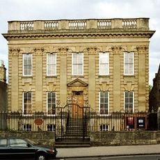
Forecourt Walls, Railings, Gates And Alleyway Gateway Of Methodist Church
1.1 km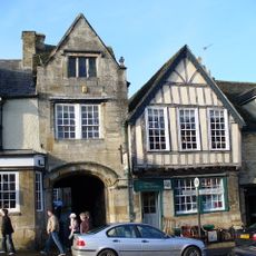
The Former George Inn
1.2 km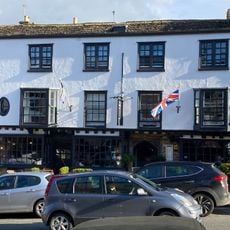
The Highway Hotel
1.2 km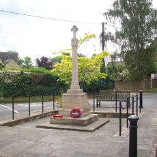
Fulbrook War Memorial
93 m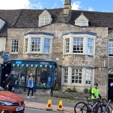
Burford Library
1.1 km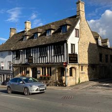
Corner House Hotel
1.1 km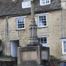
Burford War Memorial, Oxfordshire
1.3 km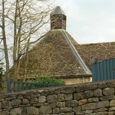
Brewery And Malthouse To Rear
1.2 km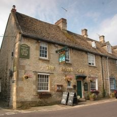
The Royal Oak Public House
1.1 km
Oxford Knitwear Wj Castle (butchers)
1.2 km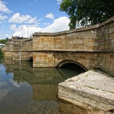
Bridge Over River Windrush
916 m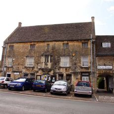
Falkland Hall
1 km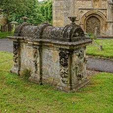
Robert Aston Tomb About 10 Metres South Of South West Corner Of Church Of St John
898 m
Cotswold Bookshop and Windrush Valley Cleaners
1 km
The House Of Simon
1.2 km
9-11 Old George Yard
1.2 km
Swan Gallery
1.2 km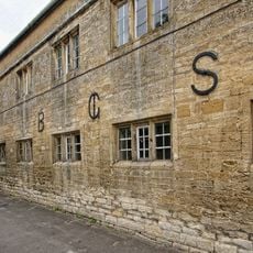
Burford Grammar School (main part including Lenthall House)
927 m¿Has visitado este lugar? Toca las estrellas para valorarlo y compartir tu experiencia o fotos con la comunidad. ¡Pruébalo ahora! Puedes cancelarlo en cualquier momento.
¡Encuentra tesoros escondidos en cada aventura!
Desde cafeterías con encanto hasta miradores secretos, escapa de las multitudes y encuentra lugares que van contigo de verdad. Nuestra app te lo pone fácil: búsqueda por voz, filtros inteligentes, rutas optimizadas y consejos auténticos de viajeros de todo el mundo. ¡Descárgala ya y vive la aventura en tu móvil!

Un enfoque novedoso para descubrir el turismo❞
— Le Figaro
Todos los lugares que merecen ser explorados❞
— France Info
Una excursión a medida en solo unos clics❞
— 20 Minutes