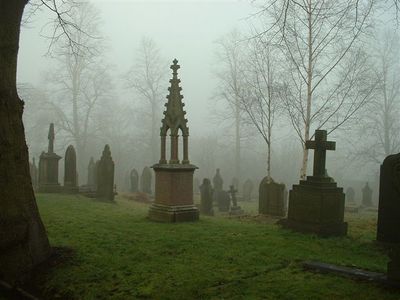
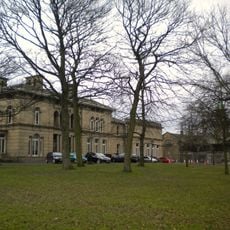
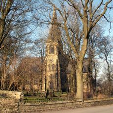
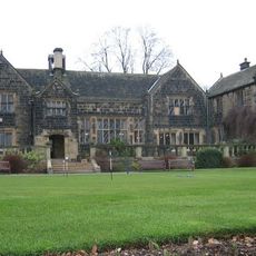
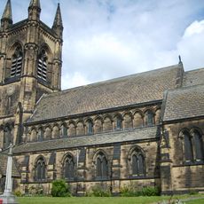
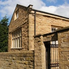
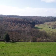
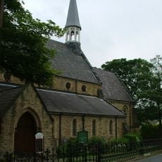
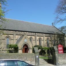
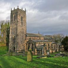
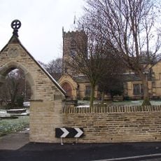
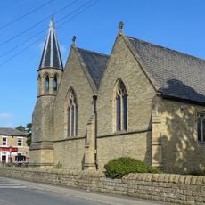
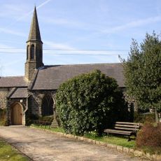
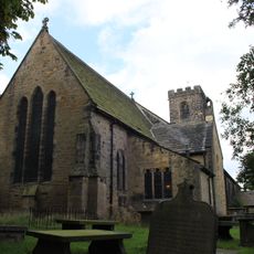
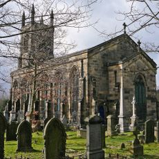
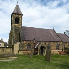
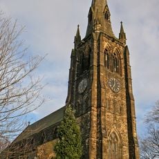
Kirkburton, village and civil parish in West Yorkshire, United Kingdom
Ubicación: Kirklees
Coordenadas GPS: 53.61000,-1.70300
Última actualización: 2 de marzo de 2025 a las 22:04
Emley Moor transmitting station
2.6 km
Community of the Resurrection
8.1 km
National Coal Mining Museum for England
6.6 km
Tolson Museum
5.2 km
Church of St Thomas, Thurstonland
3.7 km
Woodsome Hall
2.5 km
Parish Church of St Mary, Mirfield
7.9 km
Turnbridge Lift Bridge
6.4 km
Dewsbury Bus Museum
8.1 km
Church of St Mark, Old Leeds Road
6.5 km
Ledgard Bridge
6.9 km
Colne Bridge
7.8 km
Thornhill Grammar School
8.2 km
Myers Wood
941 m
Church of All Saints
6.3 km
Church of St Paul
3 km
Church of St Michael and All Angels, Thornhill
8.4 km
Parish Church of St John the Baptist, Kirkheaton
4.9 km
Church of St Saviour
8.1 km
Church of St George
4.8 km
Church of All Hallows
154 m
Christ Church
5 km
Church of St Nicholas
4.1 km
Church of Holy Innocents
8.9 km
Church of St Paul
7.1 km
Church of St Aidan
3.9 km
Church of St James the Great
4.8 km
Church of St Augustine
5.5 km¿Has visitado este lugar? Toca las estrellas para valorarlo y compartir tu experiencia o fotos con la comunidad. ¡Pruébalo ahora! Puedes cancelarlo en cualquier momento.
¡Encuentra tesoros escondidos en cada aventura!
Desde cafeterías con encanto hasta miradores secretos, escapa de las multitudes y encuentra lugares que van contigo de verdad. Nuestra app te lo pone fácil: búsqueda por voz, filtros inteligentes, rutas optimizadas y consejos auténticos de viajeros de todo el mundo. ¡Descárgala ya y vive la aventura en tu móvil!
Un enfoque novedoso para descubrir el turismo❞
— Le Figaro
Todos los lugares que merecen ser explorados❞
— France Info
Una excursión a medida en solo unos clics❞
— 20 Minutes