Activar ubicación

Necesitamos tu ubicación para mostrarte lugares interesantes cerca de ti

Descubre lugares cercanos

Encuentra lugares interesantes y joyas ocultas a tu alrededor

Direcciones precisas

Obtén direcciones precisas y distancias a los lugares

Tu ubicación nunca se comparte con otros usuarios. Solo se usa cuando tocas el botón de ubicación.

Aldfield

Inicia sesión en tu cuenta

Empieza a explorar — es gratis

Elegido por 63.737 viajeros en todo el mundo

Continuar con Google
Continuar con Apple
o

Te enviaremos un código para conectarte

Al continuar, aceptas nuestros Términos y Condiciones y nuestra Política de Privacidad

Revisa tu bandeja de entrada

Hemos enviado un código PIN a su bandeja de entrada. Por favor ingrese el código a continuación.

Discussion Opiniones 1 Fotos
2.5k Popularidad

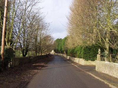
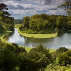
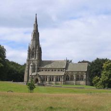
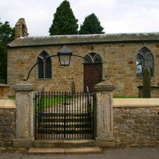
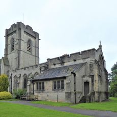
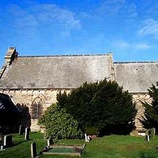
Aldfield, village and civil parish in the Harrogate district of North Yorkshire, England

La comunidad de viajeros curiosos

AroundUs reúne miles de lugares seleccionados, consejos locales y joyas escondidas, enriquecidos cada día por más de 60,000 colaboradores en todo el mundo.

Empieza a explorar
Ubicación
Coordenadas GPS
54.11953,-1.60089
Última actualización
12 de marzo de 2025 a las 00:09
Alrededor de este lugar
Parque Real de Studley
Reino Unido

Parque Real de Studley

1.9 km
Fountains Hall
Reino Unido

Fountains Hall

1.4 km
Grantley Hall
Reino Unido

Grantley Hall

2 km
Iglesia de Santa María
Reino Unido

Iglesia de Santa María

1.4 km
Church of Saint Lawrence
Reino Unido

Church of Saint Lawrence

409 m
Church of St Cuthbert and St Oswald
Reino Unido

Church of St Cuthbert and St Oswald

2.1 km
Studley Royal Park including the Ruins of Fountains Abbey
Reino Unido

Studley Royal Park including the Ruins of Fountains Abbey

1.9 km
Statue on West Side of North Crescent Pond
Reino Unido

Statue on West Side of North Crescent Pond

1.9 km
Statue of Neptune and Pedestal in Centre of Moon Pond
Reino Unido

Statue of Neptune and Pedestal in Centre of Moon Pond

1.9 km
St Michael & All Angels
Reino Unido

St Michael & All Angels

2 km
The Octagon Tower
Reino Unido

The Octagon Tower

1.9 km
Temple Of Piety On East Side Of Moon Pond
Reino Unido

Temple Of Piety On East Side Of Moon Pond

2 km
The Wrestlers
Reino Unido

The Wrestlers

1.8 km
Robin Hood's Well
Reino Unido

Robin Hood's Well

1.8 km
Rustic Bridge At South End Of The Canal, With Culvert And Arch To Reservoir
Reino Unido

Rustic Bridge At South End Of The Canal, With Culvert And Arch To Reservoir

2 km
Banqueting House Approximately 100 Metres To West Of The Canal
Reino Unido

Banqueting House Approximately 100 Metres To West Of The Canal

1.7 km
Quebec Monument
Reino Unido

Quebec Monument

2 km
The Obelisk Approximately 80 Metres West Of Church Of St Mary
Reino Unido

The Obelisk Approximately 80 Metres West Of Church Of St Mary

1.3 km
Mile Post Approximately 50 Metres North Of The Black A Moor Public House
Reino Unido

Mile Post Approximately 50 Metres North Of The Black A Moor Public House

2 km
Tunnel Approximately 20 Metres West Of The Octagon, With Flanking Wall Attached To South
Reino Unido

Tunnel Approximately 20 Metres West Of The Octagon, With Flanking Wall Attached To South

1.9 km
Weir At North End Of The Canal, With Piers, Fishing Pavilions And Balustrade
Reino Unido

Weir At North End Of The Canal, With Piers, Fishing Pavilions And Balustrade

1.9 km
Abbey Mill
Reino Unido

Abbey Mill

1.6 km
Weir On River Skell Approximately 120 Metres West Of The Reservoir
Reino Unido

Weir On River Skell Approximately 120 Metres West Of The Reservoir

2 km
Weir On River Skell Approximately 10 Metres East Of The Infirmary At Fountains Abbey
Reino Unido

Weir On River Skell Approximately 10 Metres East Of The Infirmary At Fountains Abbey

1.8 km
Grotto On North Side Of Reservoir
Reino Unido

Grotto On North Side Of Reservoir

2 km
The Canal Gates And Flanking Walls On West Side Of The Lake
Reino Unido

The Canal Gates And Flanking Walls On West Side Of The Lake

1.8 km
Boundary Wall With West And South Gates, Church Of St Mary
Reino Unido

Boundary Wall With West And South Gates, Church Of St Mary

1.3 km
Stewards House, Now National Trust Restaurant And Shop
Reino Unido

Stewards House, Now National Trust Restaurant And Shop

1.8 km
Mostrar el mapa completo
Opiniones
Comparte tu experiencia

No review yet

Discusiones
Iniciar una discusión...

No discussion yet

Aldfield - village and civil parish in the Harrogate district of North Yorkshire, England es proporcionado por Around Us (es.aroundus.com). Las imágenes y los textos provienen del proyecto Wikimedia bajo una licencia Creative Commons. Se permite copiar, distribuir y modificar copias de esta página, bajo las condiciones establecidas por la licencia, siempre y cuando este aviso aparezca claramente.

¡Encuentra tesoros escondidos en cada aventura!

Desde cafeterías con encanto hasta miradores secretos, escapa de las multitudes y encuentra lugares que van contigo de verdad. Nuestra app te lo pone fácil: búsqueda por voz, filtros inteligentes, rutas optimizadas y consejos auténticos de viajeros de todo el mundo. ¡Descárgala ya y vive la aventura en tu móvil!

Around Us App Screenshot

Un enfoque novedoso para descubrir el turismo

Le Figaro

Todos los lugares que merecen ser explorados

France Info

Una excursión a medida en solo unos clics

20 Minutes

Around Us
Guía de viaje y mapas
Descargar

Enviar a tu teléfono

QR Code
1

Abre la cámara en tu móvil.

2

Apunta al código QR con tu cámara. Aparecerá una notificación.

3

Toca la notificación para abrir el enlace.