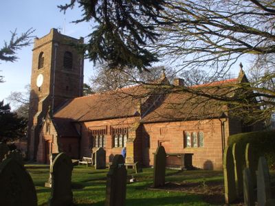
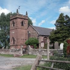
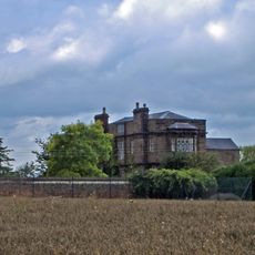
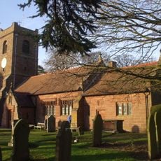
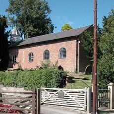
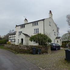
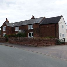
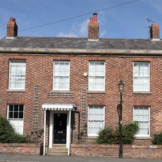
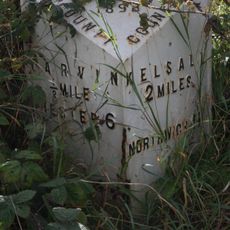
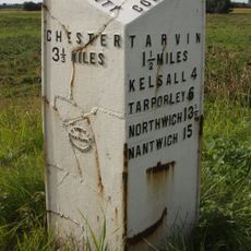
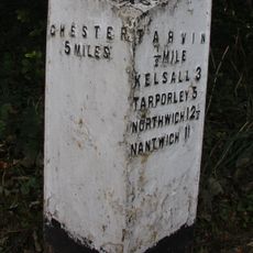
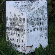
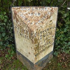
Barrow, civil parish in Cheshire, UK
Ubicación: Cheshire West and Chester
Comparte frontera con: Dunham-on-the-Hill and Hapsford, Tarvin, Ashton Hayes and Horton-cum-Peel, Manley, Mouldsworth, Christleton, Guilden Sutton, Mickle Trafford and District
Coordenadas GPS: 53.21944,-2.78667
Última actualización: 5 de marzo de 2025 a las 19:57
St Peter's Church
2 km
Peel Hall
2.3 km
St Bartholomew's Church, Barrow
1.3 km
St John the Baptist's Church, Guilden Sutton
3 km
Trafford Mill
2.8 km
St. Plegmund's well
2.2 km
Vault, tombchest and memorial of the Hurleston family attached to east end of Church of St Peter
2 km
Sundial in the churchyard of St Peter
1.9 km
Number 86 and attached outbuilding
2.8 km
The White House
1.1 km
Town Farm Farmhouse
3 km
Laurel House
2.8 km
Roade House
2.8 km
Sundial in St. Bartholomew's Churchyard
1.3 km
Great Barrow War Memorial
1.3 km
Little Barrow Hall
909 m
76, High Street
2.8 km
West wall and gate of the churchyard of St Peter
2 km
Gates, overthrow and gate piers to the Churchyard of St Bartholomew
1.3 km
The Old Rectory
1.2 km
78 and 80, High Street
2.9 km
51, High Street
2.8 km
Tarvin Hall
2.8 km
Milepost, Tarvin Sands
2.7 km
Milepost, S of Stamford Bridge
2.3 km
Milepost, E of on roundabout jct of A54 & A51
2.8 km
Milepost, S of Ashton Village
2.8 km
Milepost, Trafford Mill
2.9 km¿Has visitado este lugar? Toca las estrellas para valorarlo y compartir tu experiencia o fotos con la comunidad. ¡Pruébalo ahora! Puedes cancelarlo en cualquier momento.
¡Encuentra tesoros escondidos en cada aventura!
Desde cafeterías con encanto hasta miradores secretos, escapa de las multitudes y encuentra lugares que van contigo de verdad. Nuestra app te lo pone fácil: búsqueda por voz, filtros inteligentes, rutas optimizadas y consejos auténticos de viajeros de todo el mundo. ¡Descárgala ya y vive la aventura en tu móvil!
Un enfoque novedoso para descubrir el turismo❞
— Le Figaro
Todos los lugares que merecen ser explorados❞
— France Info
Una excursión a medida en solo unos clics❞
— 20 Minutes