
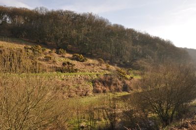
Clatworthy Camp, hillfort in Somerset
Ubicación: Clatworthy
Coordenadas GPS: 51.07500,-3.36301
Última actualización: 11 de marzo de 2025 a las 02:05
Combe Sydenham
6 km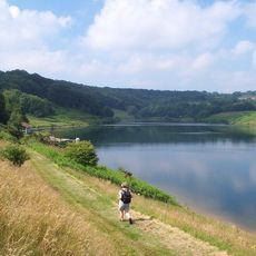
Clatworthy Reservoir
482 m
King's Castle
6 km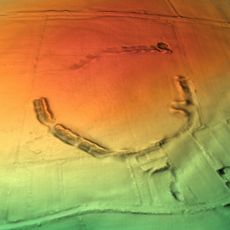
Elworthy Barrows
3.3 km
Abbotsfield
4.5 km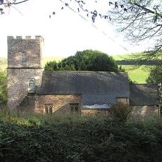
Church of St Martin, Elworthy
5 km
Church of St Peter, Huish Champflower
2.3 km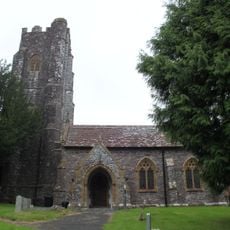
Church of All Saints
4.4 km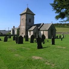
Church of St Peter
6 km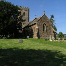
Church of St Mary
4 km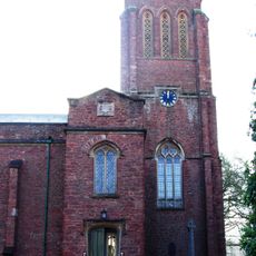
Church of St Andrew
5.3 km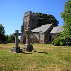
Church of St Mary Magdalene
873 m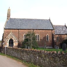
Church of St Giles
5.2 km
Church of St John the Baptist
5.5 km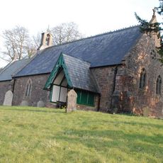
Church of St James
5.7 km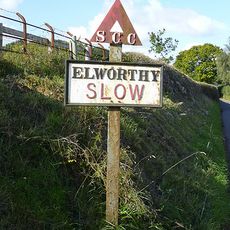
Sign Post At Ngr St 0851 3480
5.1 km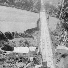
The Incline, lying between Brendon Hill and Comberow, and the remains of Combe Row Station
3.9 km
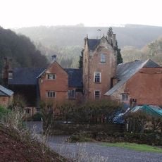
Hartrow Manor
5.9 km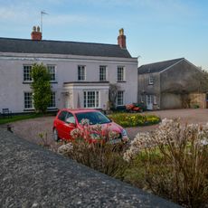
Hartswell House
5.5 km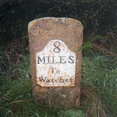
Milestone At Ngr St 0144 3334
3.6 km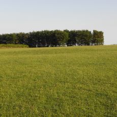
Bowl barrow 700m north east of Burrow Farm
4.5 km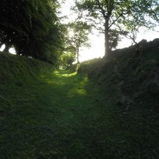
Burrow Farm iron mine and section of mineral railway trackbed, 350m north east of Burrow Farm
4.7 km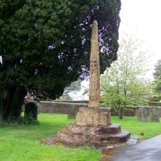
Churchyard Cross, Church Of St Andrew
5.3 km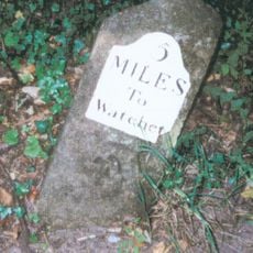
Milestone At Ngr St 0460 3613
4.6 km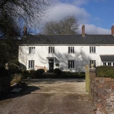
Kingston Farmhouse
5.8 km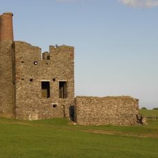
Burrow Farm Engine House And Remains Of Drying Shed About 10 Metres To West
4.8 km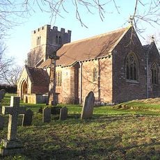
Churchyard Cross 10 Metres South East Of Church Of St John The Baptist
5.5 km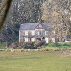
Middleton Court
3.3 km¿Has visitado este lugar? Toca las estrellas para valorarlo y compartir tu experiencia o fotos con la comunidad. ¡Pruébalo ahora! Puedes cancelarlo en cualquier momento.
¡Encuentra tesoros escondidos en cada aventura!
Desde cafeterías con encanto hasta miradores secretos, escapa de las multitudes y encuentra lugares que van contigo de verdad. Nuestra app te lo pone fácil: búsqueda por voz, filtros inteligentes, rutas optimizadas y consejos auténticos de viajeros de todo el mundo. ¡Descárgala ya y vive la aventura en tu móvil!

Un enfoque novedoso para descubrir el turismo❞
— Le Figaro
Todos los lugares que merecen ser explorados❞
— France Info
Una excursión a medida en solo unos clics❞
— 20 Minutes