
Pucklechurch, village and civil parish in Gloucestershire, UK
Ubicación: South Gloucestershire
Comparte frontera con: Westerleigh
Coordenadas GPS: 51.48694,-2.43528
Última actualización: 16 de marzo de 2025 a las 18:17
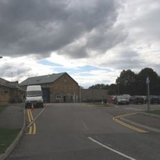
HM Prison Ashfield
679 m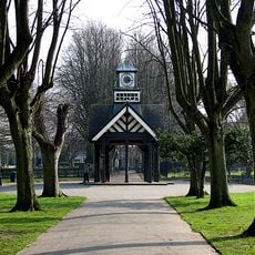
Page Park
4.4 km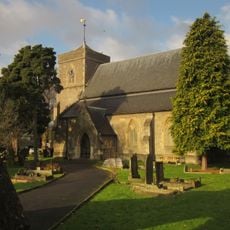
Church of St Saviour
4.9 km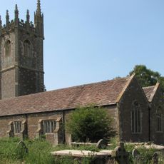
Church of St James the Great
3.1 km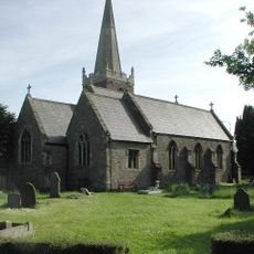
Church of St James
3.4 km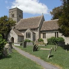
Parish Church of St Anne
1.7 km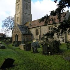
Church of St James the Great
1.8 km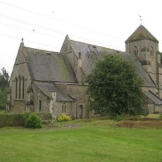
Church of St Bartholomew
3.8 km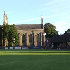
Christ Church
4.9 km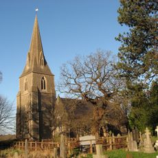
Church of St Barnabas
4.1 km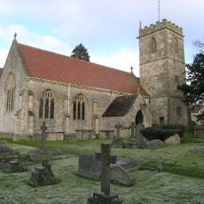
Church of Holy Trinity
3.3 km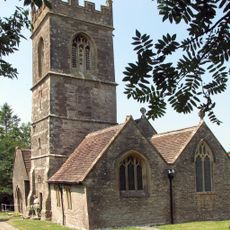
Church of St Peter
3.5 km
Milestone Opposite Junction With Church Avenue
4 km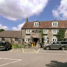
The Bull Inn
3.7 km
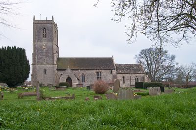
Church of St Thomas à Becket
52 m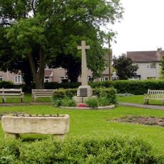
Mangotsfield War Memorial
3.5 km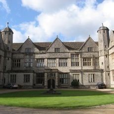
Siston Court
1.7 km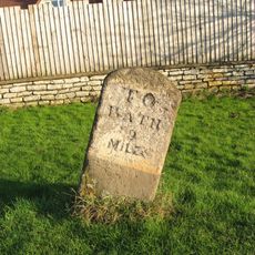
Mile Stone Immediately South East Of Webb's Farmhouse
3.2 km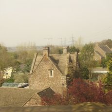
Sign Of The Dolphin
3.8 km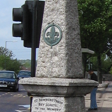
Downend Boy Scouts' War Memorial
4.7 km
Warmley Signal Box
4.1 km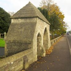
Lychgate And Attached Walls About 30 Metres East Of Church Of St Saviour
4.9 km
Mile Stone Approximately 120 Yards North West Of Cherry Cottage
3.5 km
The Old Turnpike
1.3 km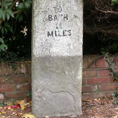
Milestone, Rodway Hill
3.5 km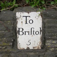
Guidestone, Bridge Yate, London Road & Bath Road jct
3.7 km
Milestone, Riding Barn Hill, Wick, by No. 72
3.9 km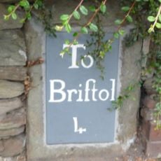
Milestone, Downend Road; opp. jcn Christchurch Lane by No. 72B
5.1 km¿Has visitado este lugar? Toca las estrellas para valorarlo y compartir tu experiencia o fotos con la comunidad. ¡Pruébalo ahora! Puedes cancelarlo en cualquier momento.
¡Encuentra tesoros escondidos en cada aventura!
Desde cafeterías con encanto hasta miradores secretos, escapa de las multitudes y encuentra lugares que van contigo de verdad. Nuestra app te lo pone fácil: búsqueda por voz, filtros inteligentes, rutas optimizadas y consejos auténticos de viajeros de todo el mundo. ¡Descárgala ya y vive la aventura en tu móvil!

Un enfoque novedoso para descubrir el turismo❞
— Le Figaro
Todos los lugares que merecen ser explorados❞
— France Info
Una excursión a medida en solo unos clics❞
— 20 Minutes