
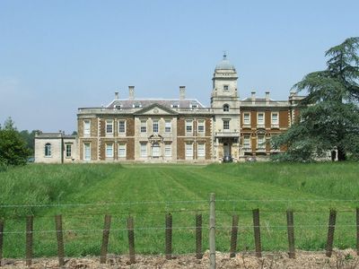
Narford Hall, Grade I listed building in Breckland District, United Kingdom
Ubicación: Narford
Coordenadas GPS: 52.69230,0.61259
Última actualización: 3 de marzo de 2025 a las 00:25
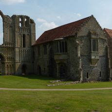
Castle Acre Priory
4.9 km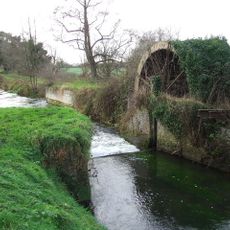
Narborough Bone Mill
3.6 km
Castle Acre Bailey Gate
5.3 km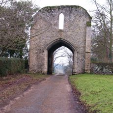
West Acre Priory
2 km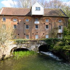
Narborough Watermill
2 km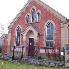
Westacre Theatre
1.7 km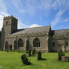
Church of All Saints
2.1 km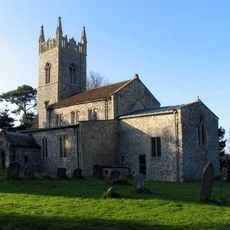
Church of St Mary
224 m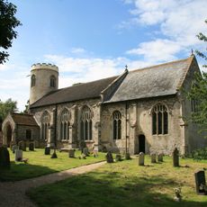
Church of St Mary
3.4 km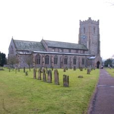
Church of St James
5.1 km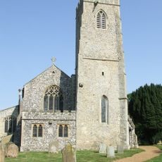
Church of All Saints
2.1 km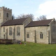
Church of St George
4.4 km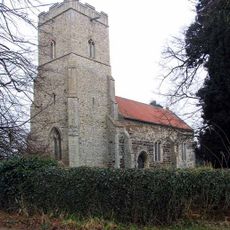
Church of St Cecilia
5.2 km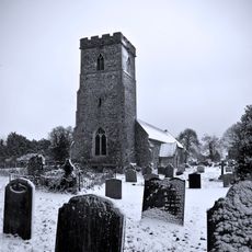
Church of St Mary Magdalene
4.6 km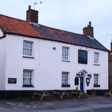
Albert Victor Public House
5.2 km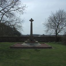
West Acre and District War Memorial
2 km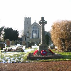
Narborough War Memorial Cross
2.1 km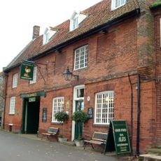
The Ostrich Public House With Attached Cottage At East
5.2 km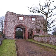
Remains of Gatehouse of Cluniac Priory of St Mary and St Peter and St Paul
4.8 km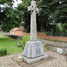
Castle Acre and Newton War Memorial
5.1 km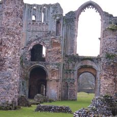
Remains Of Base Of South West Tower And Part Of West Claustral Range Of West Acre Priory, 20 Metres East Of Abbey Farm House
2.1 km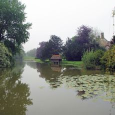
Narborough Hall
1.8 km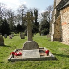
Pentney War Memorial
4.6 km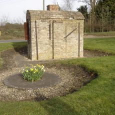
Wheelwright's Oven At Tf 7428 1678
3.9 km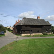
The Wooden House
2 km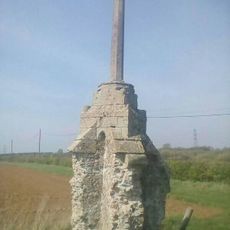
Wayside cross 190m south west of Crossgates Farm
5 km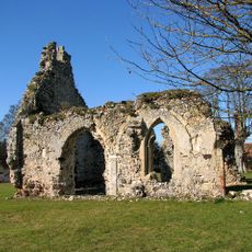
Remains of St Andrew's Church
3.4 km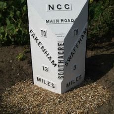
Milepost, 5yds N of jct with rd to S Acre
5.1 km¿Has visitado este lugar? Toca las estrellas para valorarlo y compartir tu experiencia o fotos con la comunidad. ¡Pruébalo ahora! Puedes cancelarlo en cualquier momento.
¡Encuentra tesoros escondidos en cada aventura!
Desde cafeterías con encanto hasta miradores secretos, escapa de las multitudes y encuentra lugares que van contigo de verdad. Nuestra app te lo pone fácil: búsqueda por voz, filtros inteligentes, rutas optimizadas y consejos auténticos de viajeros de todo el mundo. ¡Descárgala ya y vive la aventura en tu móvil!

Un enfoque novedoso para descubrir el turismo❞
— Le Figaro
Todos los lugares que merecen ser explorados❞
— France Info
Una excursión a medida en solo unos clics❞
— 20 Minutes