
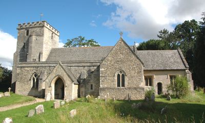
Church of St Giles, church in South Oxfordshire, United Kingdom
Ubicación: Horspath
Coordenadas GPS: 51.73970,-1.17386
Última actualización: 28 de marzo de 2025 a las 02:26
The Kilns
2.2 km
Shotover Park
2.2 km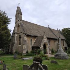
Holy Trinity Church
2.6 km
CS Lewis Nature Reserve
2.2 km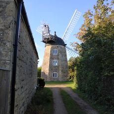
Wheatley Windmill
1.8 km
The Kilns (C S Lewis House)
2.2 km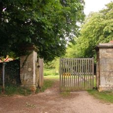
Western Pier of Gateway Approximately 1150 Metres South West of Shotover Park
1.1 km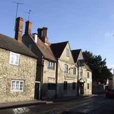
The King And Queen Public House
2.6 km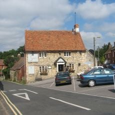
The Sun Inn
2.5 km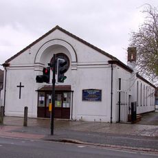
St Francis Church
2 km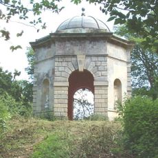
Octagonal Temple Approximately 250 Metres To South West Of Shotover Park
2 km
The Nuffield Press, East Wing And Attached Former School House
2.6 km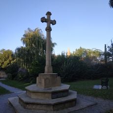
Wheatley War Memorial
2.5 km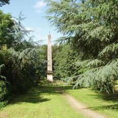
The Obelisk Approximately 200 Metres To West Of Shotover Park
2.1 km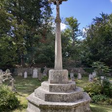
Headington Quarry War Memorial
2.6 km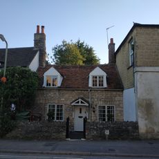
46, High Street
2.5 km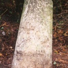
Milestone Approximately 160 Metres South West of Redhill Farmhouse
2.5 km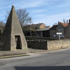
Lock Up
2.6 km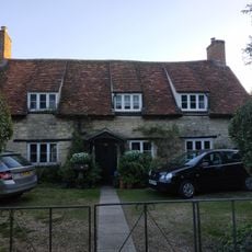
38, High Street
2.5 km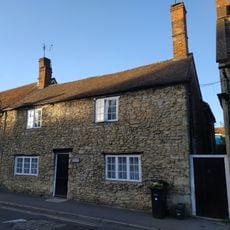
55, High Street
2.5 km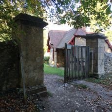
Eastern Pier of Gateway Approximately 1150 Metres South West of Shotover Park
1.1 km
The George Gallery
2.5 km
47, High Street
2.5 km
Micheldene
2.5 km
5, 7 And 9, Bell Lane
2.6 km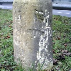
Milestone Approximately 98 Metres West Of Junction With Merewood Avenue
2.6 km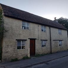
40, High Street
2.5 km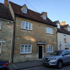
The Crest
2.5 km¿Has visitado este lugar? Toca las estrellas para valorarlo y compartir tu experiencia o fotos con la comunidad. ¡Pruébalo ahora! Puedes cancelarlo en cualquier momento.
¡Encuentra tesoros escondidos en cada aventura!
Desde cafeterías con encanto hasta miradores secretos, escapa de las multitudes y encuentra lugares que van contigo de verdad. Nuestra app te lo pone fácil: búsqueda por voz, filtros inteligentes, rutas optimizadas y consejos auténticos de viajeros de todo el mundo. ¡Descárgala ya y vive la aventura en tu móvil!

Un enfoque novedoso para descubrir el turismo❞
— Le Figaro
Todos los lugares que merecen ser explorados❞
— France Info
Una excursión a medida en solo unos clics❞
— 20 Minutes