
Rose Place, building in Worcester, Worcestershire, England, UK
Ubicación: Worcester
Coordenadas GPS: 52.22370,-2.20729
Última actualización: 11 de marzo de 2025 a las 02:58
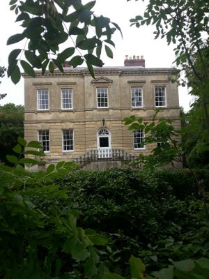

Hindlip Hall
2.2 km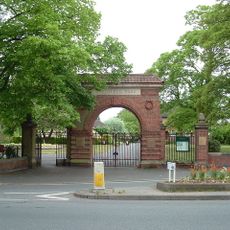
Gheluvelt Park
2.4 km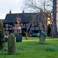
The Mug House
928 m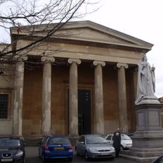
Shire Hall
3.2 km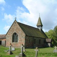
Church of St Michael and All Angels, Martin Hussingtree
2.2 km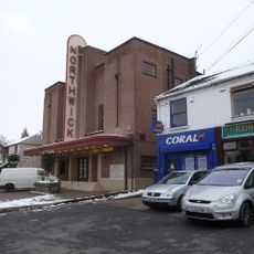
Northwick Cinema
1.7 km
Church of St Philip and St James
3.1 km
Church of St Mary Magdelene
3 km
Church of St Stephen
2 km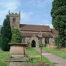
Church of St John the Baptist, Claines
916 m
Church of St George
2.5 km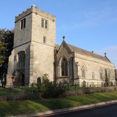
Church of St James
2.1 km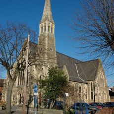
Baptist Church
3.2 km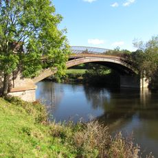
Bevere Bridge
2.4 km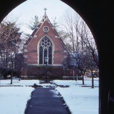
St Oswald's Hospital (Almshouses And Chaplain's House)
3 km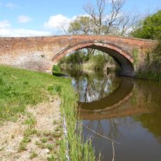
Linacre Bridge
2 km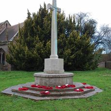
Claines War Memorial
881 m
North Wing Pavilion At Shire Hall
3.2 km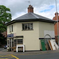
Octagonal Lodge
2.3 km
Milestone, opp. Farm shop and layby, N of Sandyway
2.4 km
Hawford Dovecote
2.6 km
Westbury Street Bridge
3 km
Barn About 30 Yards South-West Of Walnut Tree Farmhouse
2.8 km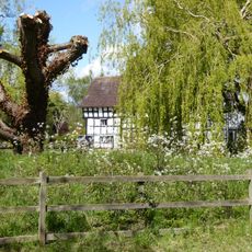
Mill Hall
2 km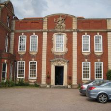
Britannia House (Alice Ottley School)
2.9 km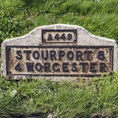
Milestone, Hawford Wood, N-bound carriageway at SO8444661092
3.1 km
Milestone, Hawford Wood, N-bound carriageway at SO8444161102
3.1 km
Milestone, City boundary, Hallow Road, S corner Little Eastbury
3.2 km¿Has visitado este lugar? Toca las estrellas para valorarlo y compartir tu experiencia o fotos con la comunidad. ¡Pruébalo ahora! Puedes cancelarlo en cualquier momento.
¡Encuentra tesoros escondidos en cada aventura!
Desde cafeterías con encanto hasta miradores secretos, escapa de las multitudes y encuentra lugares que van contigo de verdad. Nuestra app te lo pone fácil: búsqueda por voz, filtros inteligentes, rutas optimizadas y consejos auténticos de viajeros de todo el mundo. ¡Descárgala ya y vive la aventura en tu móvil!

Un enfoque novedoso para descubrir el turismo❞
— Le Figaro
Todos los lugares que merecen ser explorados❞
— France Info
Una excursión a medida en solo unos clics❞
— 20 Minutes