
Royal Military Canal, Iden Lock, lock in Iden, Rother, England, UK
Ubicación: Iden
Coordenadas GPS: 50.98690,0.75788
Última actualización: 29 de abril de 2025 a las 05:59
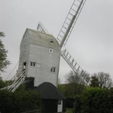
Stocks Mill
3.7 km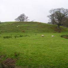
Houghton Green Cliff
2.2 km
Monk Bretton Bridge
4 km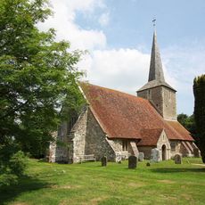
The Parish Church of St Michael
3.2 km
The Parish Church of All Saints
2.2 km
Church of St Thomas A Becket and mounting block attached
3.6 km
The Parish Church of St Mary
2.9 km
Parish Church of St Mary the Virgin
2.9 km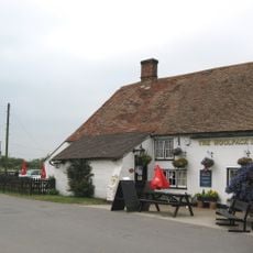
The Woolpack Inn
4.2 km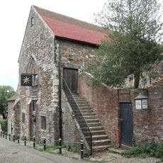
Austin Friars Chapel
4.2 km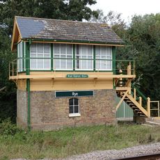
Rye Signal Box
4.3 km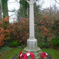
Iden War Memorial
1.9 km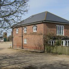
Dean Court
3.5 km
Conduit Hill
4.2 km
Royal Military Canal, Iden Lock to Kent Ditch
480 m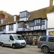
102, High Street
4.3 km
Portion Of The Town Walls To The South Of Cinque Ports Street And West Of Conduit Hill
4.3 km
37-67, Military Road
3.8 km
The Old Coach House
4.3 km
Radar Station Receiver Site, Including The Receiver Building, Receiver Mast Bases And Light Anti-Aircraft Gun Site
3.4 km
26, Landgate
4.1 km
Becket's House
2.8 km
Barn Circa 50 Yards West Of Becket's Barn Farmhouse
3.4 km
The Mount
3 km
Oxenbridge Farmhouse
2 km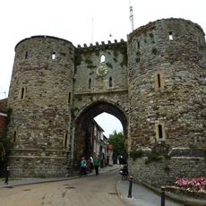
The Landgate
4.1 km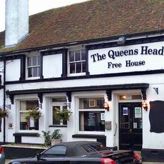
15-24, Landgate
4 km
Milestone, Rye Road Hill, opp. Top o' the Hill PH, 25m N of jct with Saltcote Lane
3.4 kmOpiniones
¿Has visitado este lugar? Toca las estrellas para valorarlo y compartir tu experiencia o fotos con la comunidad. ¡Pruébalo ahora! Puedes cancelarlo en cualquier momento.
¡Encuentra tesoros escondidos en cada aventura!
Desde cafeterías con encanto hasta miradores secretos, escapa de las multitudes y encuentra lugares que van contigo de verdad. Nuestra app te lo pone fácil: búsqueda por voz, filtros inteligentes, rutas optimizadas y consejos auténticos de viajeros de todo el mundo. ¡Descárgala ya y vive la aventura en tu móvil!

Un enfoque novedoso para descubrir el turismo❞
— Le Figaro
Todos los lugares que merecen ser explorados❞
— France Info
Una excursión a medida en solo unos clics❞
— 20 Minutes