
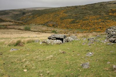
Roundy Park prehistoric enclosure and cairn with cist, 560m north east of Archerton
Roundy Park prehistoric enclosure and cairn with cist, 560m north east of Archerton, archaeological site in Dartmoor Forest, West Devon, England, UK
Ubicación: Dartmoor Forest
Coordenadas GPS: 50.60060,-3.92359
Última actualización: 4 de marzo de 2025 a las 15:14
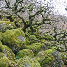
Wistman's Wood
3.7 km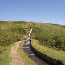
Devonport Leat
3.5 km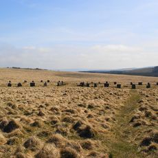
Grey Wethers
3.5 km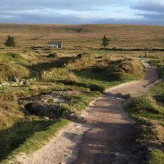
Dartmoor National Park
3.2 km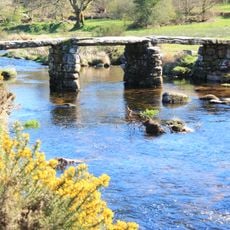
Postbridge Clapper Bridge
1.1 km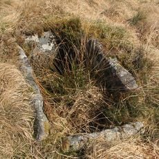
Bellever Tor Cairns
3.3 km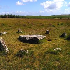
Ring cairn with cist on Lakehead Hill
2.2 km
Church of St Gabriel
1.3 km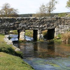
Clapper Bridge Across Walla Brook On Road From Cator To Bellever
3.6 km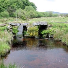
Powder Mills Clapper Bridge
2.7 km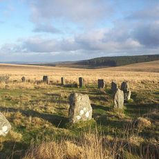
Two stone circles known as The Grey Wethers, three round cairns, two ring cairns and an oval enclosure in Great Stannon Newtake
3.4 km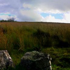
Kraps Ring
1.6 km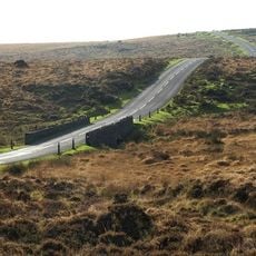
Statts Bridge
2.9 km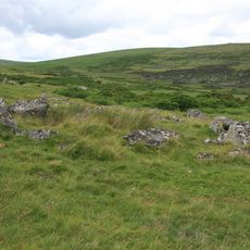
Coaxial fields and prehistoric settlements 180m north and 350m north west of Hartland Tor
572 m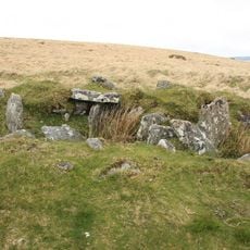
Cairn and cist 875m north west of Arch Tor
1.5 km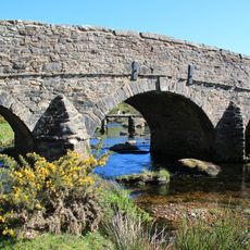
Post Bridge
1.1 km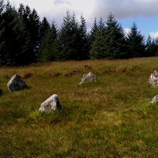
Five cairns, two stone alignments and three cists, forming part of a ritual complex on Lakehead Hill
2 km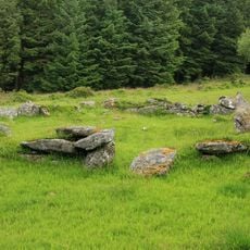
Stone alignment, hut circle settlement, medieval long house and post-medieval farmstead at Assycombe
3.6 km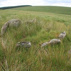
Kerbed cairn and cist 635m south west of The Grey Wethers
3.1 km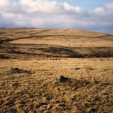
Broadun prehistoric enclosed settlement, 780m NNW of Archerton
509 m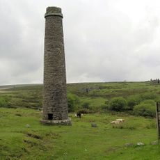
Powder Mills
2.6 km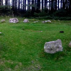
A ring cairn 700m south east of Runnage Bridge, on the southern side of Soussons Down
3.7 km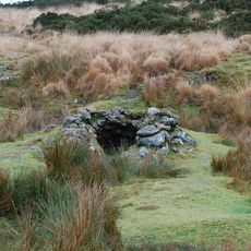
Tinners' building in Great Stannon Newtake, 810m north west of Stannon Tor
1.8 km
Milestone, half mile SW of Postbridge, opp. Plantations
1.5 km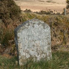
Milestone, Higher Cherrybrook Bridge, 200m SW of bridge, 300m from turn to Pottery
2.9 km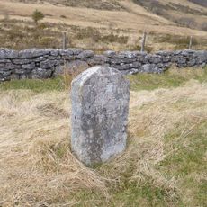
Guidestone, by Lakehead Hill plantation, NE of Cherrybrook Bridge
1.6 km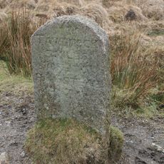
Milestone, Statts Bridge, 300m SW of bridge
2.6 km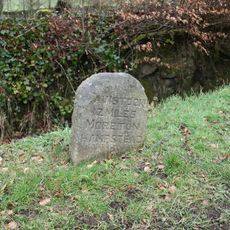
Milestone, St Gabriel's Church, 80m NE of church, opp. Beechwood
1.4 kmOpiniones
¿Has visitado este lugar? Toca las estrellas para valorarlo y compartir tu experiencia o fotos con la comunidad. ¡Pruébalo ahora! Puedes cancelarlo en cualquier momento.
¡Encuentra tesoros escondidos en cada aventura!
Desde cafeterías con encanto hasta miradores secretos, escapa de las multitudes y encuentra lugares que van contigo de verdad. Nuestra app te lo pone fácil: búsqueda por voz, filtros inteligentes, rutas optimizadas y consejos auténticos de viajeros de todo el mundo. ¡Descárgala ya y vive la aventura en tu móvil!

Un enfoque novedoso para descubrir el turismo❞
— Le Figaro
Todos los lugares que merecen ser explorados❞
— France Info
Una excursión a medida en solo unos clics❞
— 20 Minutes