
Cross dyke on Upwaltham Hill, 500m and 620m south east of Upwaltham Farm
Cross dyke on Upwaltham Hill, 500m and 620m south east of Upwaltham Farm, cross dyke in Upwaltham, Chichester, England, UK
Ubicación: Upwaltham
Coordenadas GPS: 50.91200,-0.65414
Última actualización: 8 de abril de 2025 a las 12:12
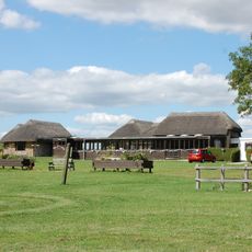
Bignor Roman Villa
4.3 km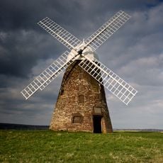
Halnaker Windmill
4.6 km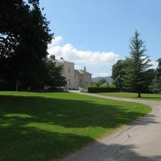
Bignor Park
4.9 km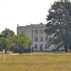
Burton Park
4.6 km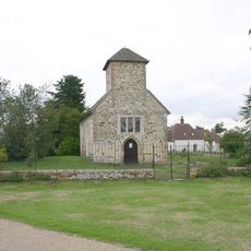
St Richard's Church
4.7 km
St Mary The Virgin, Upwaltham
640 m
The Parish Church of All Saints
4.2 km
The Parish Church of St Giles
3.9 km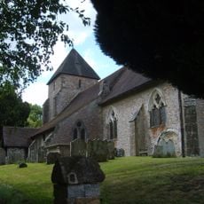
The Parish Church of St John the Baptist
3.9 km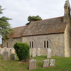
The Parish Church of St Mary
3.7 km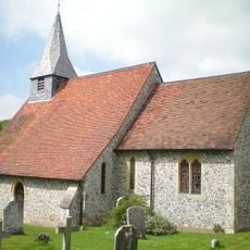
The Parish Church of St Margaret
4.1 km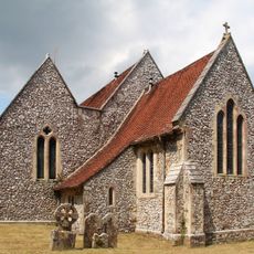
The Parish Church of St Peter
2.9 km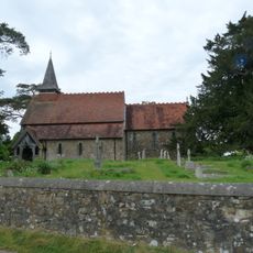
The Parish Church of the Holy Cross
3.8 km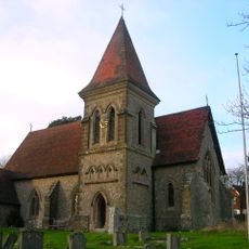
Church of Holy Trinity, Duncton
4.4 km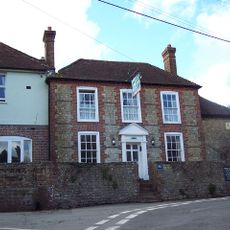
The White Horse Inn
3.7 km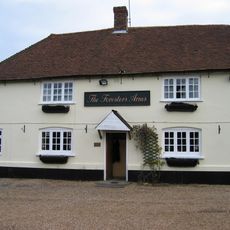
The Foresters Public House
4.6 km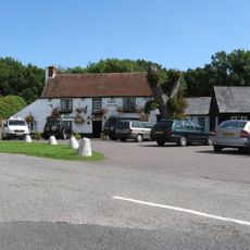
The Cricketers Inn
3.8 km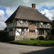
The Yeoman's House
3.9 km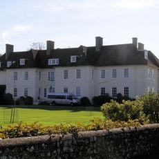
Eartham House
4.2 km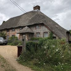
The Thatch
4.1 km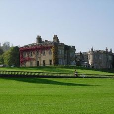
Lavington Park
3 km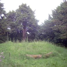
Bowl barrow on Graffham Down
4.2 km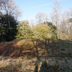
Bowl barrow and bell barrow on Graffham Down
4.4 km
Homes Of Rest
4.3 km
The Stables of Bignor Park to the north-west of the house
4.9 km
The Village Hall
4.3 km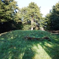
Bowl barrow on Graffham Down, 200m south of Limekiln Bottom
3.9 km
Fogdens
4.9 kmOpiniones
¿Has visitado este lugar? Toca las estrellas para valorarlo y compartir tu experiencia o fotos con la comunidad. ¡Pruébalo ahora! Puedes cancelarlo en cualquier momento.
¡Encuentra tesoros escondidos en cada aventura!
Desde cafeterías con encanto hasta miradores secretos, escapa de las multitudes y encuentra lugares que van contigo de verdad. Nuestra app te lo pone fácil: búsqueda por voz, filtros inteligentes, rutas optimizadas y consejos auténticos de viajeros de todo el mundo. ¡Descárgala ya y vive la aventura en tu móvil!

Un enfoque novedoso para descubrir el turismo❞
— Le Figaro
Todos los lugares que merecen ser explorados❞
— France Info
Una excursión a medida en solo unos clics❞
— 20 Minutes