
East Huntspill, human settlement in the United Kingdom
Ubicación: Sedgemoor
Coordenadas GPS: 51.19900,-2.94100
Última actualización: 1 de mayo de 2025 a las 21:12
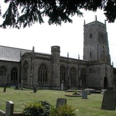
Church of St Mark, Mark
4.8 km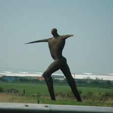
Willow Man
6.1 km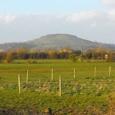
Brent Knoll
6.1 km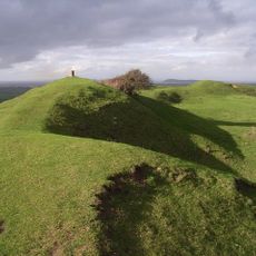
Brent Knoll Camp
6.1 km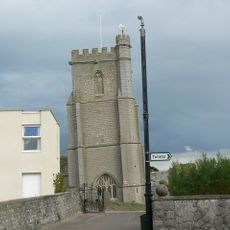
St Andrew's Church
5.9 km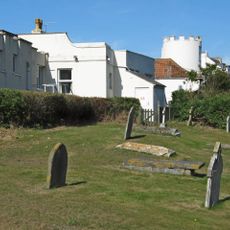
Burnham-on-Sea Round Tower
6.1 km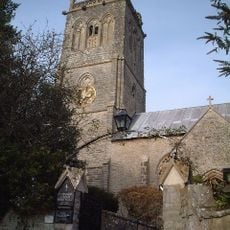
Church of St Michael, Brent Knoll
6 km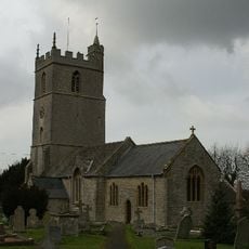
Church of St Mary, Woolavington
3.2 km
Church of St Michael and All Angels, Puriton
3.9 km
Church of St John the Baptist, Pawlett
4.8 km
Catcott, Edington and Chilton Moors
5.4 km
St Peter and All Hallows Church, West Huntspill
3.9 km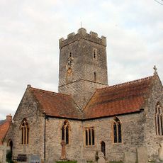
Church of St Michael and All Angels
5.3 km
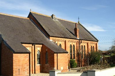
Church of All Saints
288 m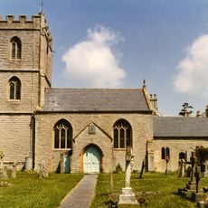
Church of St Mary
4.8 km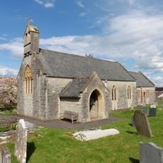
Church of St Edward
5.7 km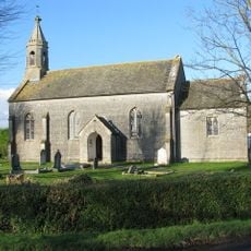
Church of St Philip and St James
5.4 km
Rich's Cider Farm
2.2 km
Down End Castle
4.9 km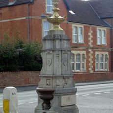
Drinking Fountain At The Junction Of Sea View And Berrow Road
6.1 km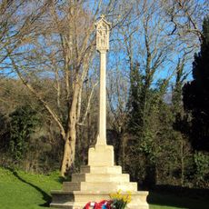
Brent Knoll War Memorial
5.9 km
Upper Southwick Farmhouse
2.4 km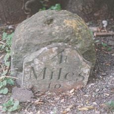
Milestone On Roadside At Ngr St 3532 3985
5.1 km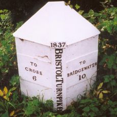
Milepost At Ngr St 3495 5100
6.2 km
Gateway To Puriton Manor
4 km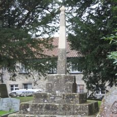
Former Market Cross in churchyard, Church of St Mark
4.8 km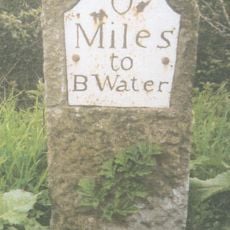
Milepost On Roadside At Ngr St 3122 4597
3.3 km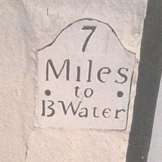
Milepost, Church Street, Highbridge, by No. 10
3.4 km¿Has visitado este lugar? Toca las estrellas para valorarlo y compartir tu experiencia o fotos con la comunidad. ¡Pruébalo ahora! Puedes cancelarlo en cualquier momento.
¡Encuentra tesoros escondidos en cada aventura!
Desde cafeterías con encanto hasta miradores secretos, escapa de las multitudes y encuentra lugares que van contigo de verdad. Nuestra app te lo pone fácil: búsqueda por voz, filtros inteligentes, rutas optimizadas y consejos auténticos de viajeros de todo el mundo. ¡Descárgala ya y vive la aventura en tu móvil!

Un enfoque novedoso para descubrir el turismo❞
— Le Figaro
Todos los lugares que merecen ser explorados❞
— France Info
Una excursión a medida en solo unos clics❞
— 20 Minutes