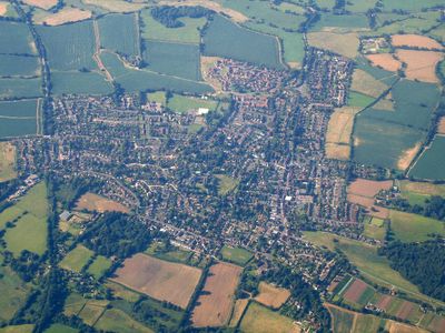
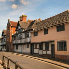
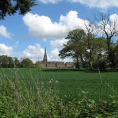
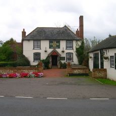
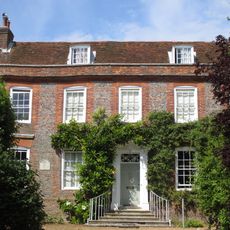
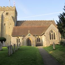
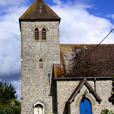
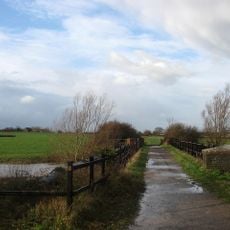
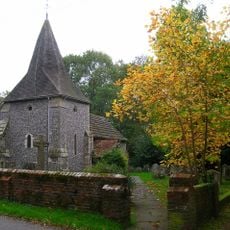
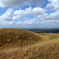
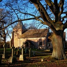
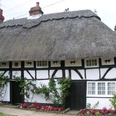
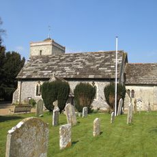
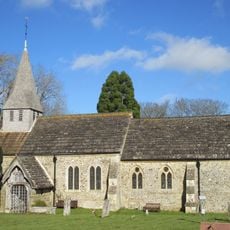
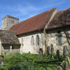
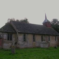
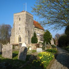
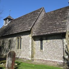
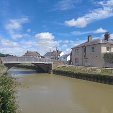
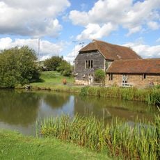
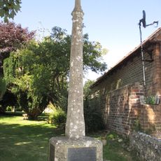
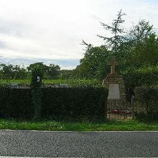
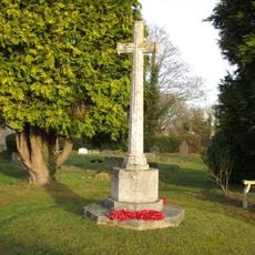
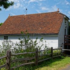
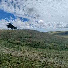
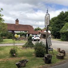
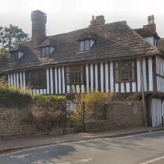
Henfield, village and civil parish in the Horsham district of West Sussex, England
Ubicación: Horsham
Sitio web: http://www.henfield.gov.uk/
Sitio web: http://henfield.gov.uk
Coordenadas GPS: 50.93300,-0.27700
Última actualización: 15 de marzo de 2025 a las 09:55
Steyning Grammar School
5.7 km
Cartuja de Parkminster
4.7 km
Fountain Inn
3.2 km
Chantry House
6 km
St Peter's Church
87 m
Woods Mill
2.6 km
St Michael and All Angels Church, Partridge Green
3.9 km
Betley Bridge
1.7 km
The Parish Church of St James, Ashurst
3.5 km
Edburton Castle Ring
5.9 km
The Parish Church of St Peter
5.5 km
The Cat House
131 m
The Parish Church of St Peter
5.5 km
The Parish Church of St Peter
2.3 km
Church of St Andrew
5.2 km
The Parish Church of St Giles, Shermanbury
2.6 km
The Parish Church of St Andrew
5.8 km
The Parish Church of St Bartholomew
4.5 km
The Shepherd And Dog Public House
6 km
The Bridge Inn
6 km
Sakeham Farmhouse
3.1 km
Upper Beeding War Memorial
5.5 km
West Grinstead, Dial Post, Littleworth and Partridge Green War Memorial
4.9 km
Partridge Green War Memorial
3.9 km
The Mill Building At Woods Mill
2.5 km
Bowl barrow on Edburton Hill, 380m west of the motte and bailey castle
5.7 km
The Royal Oak Inn
4.9 km
St Mary's House
6.1 kmOpiniones
¿Has visitado este lugar? Toca las estrellas para valorarlo y compartir tu experiencia o fotos con la comunidad. ¡Pruébalo ahora! Puedes cancelarlo en cualquier momento.
¡Encuentra tesoros escondidos en cada aventura!
Desde cafeterías con encanto hasta miradores secretos, escapa de las multitudes y encuentra lugares que van contigo de verdad. Nuestra app te lo pone fácil: búsqueda por voz, filtros inteligentes, rutas optimizadas y consejos auténticos de viajeros de todo el mundo. ¡Descárgala ya y vive la aventura en tu móvil!
Un enfoque novedoso para descubrir el turismo❞
— Le Figaro
Todos los lugares que merecen ser explorados❞
— France Info
Una excursión a medida en solo unos clics❞
— 20 Minutes