
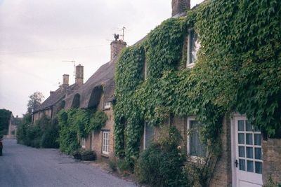
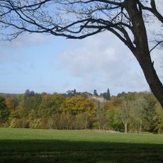
Chilson, hamlet and civil parish in West Oxfordshire, England
Ubicación: West Oxfordshire
Comparte frontera con: Chadlington, Lyneham, Ascott-under-Wychwood, Cornbury and Wychwood, Charlbury, Spelsbury
Coordenadas GPS: 51.87300,-1.53600
Última actualización: 12 de marzo de 2025 a las 08:51
Cornbury Park
3.1 km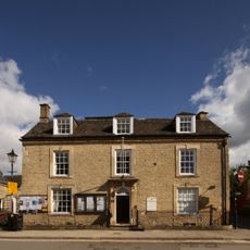
Charlbury Museum
3.7 km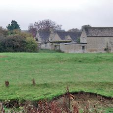
Ascot d'Oilly Castle
2 km
Ascott Earl Castle
2.6 km
Lyneham Longbarrow
2.8 km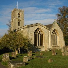
St Mary's Church, Charlbury
3.5 km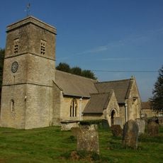
Church of the Holy Trinity
2.1 km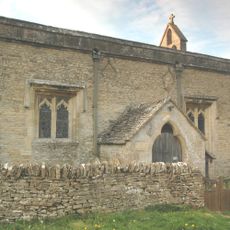
Church of All Saints
994 m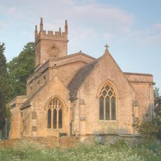
Church of St Nicholas
2.9 km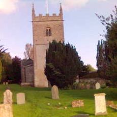
Church of All Saints, Spelsbury
3.5 km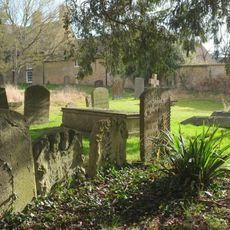
1, Park Street
3.6 km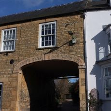
White Hart Public House
3.6 km
Manor House
1.9 km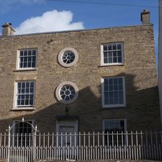
Grandchester House
3.6 km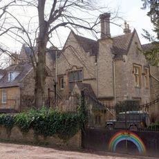
The Old Rectory
3.5 km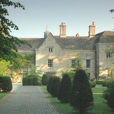
Manor House And Attached Walls And Outbuildings
2.8 km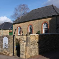
Quaker Meeting House
3.6 km
Queen's Own
3.5 km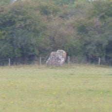
Lyneham long barrow and standing stone, 480m north east of Hill Barn
2.8 km
The Roundabout hillfort, 460m west of Barter's Hill Farm
2.9 km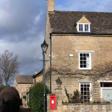
The Manor House
3.6 km
10 and 11, Market Street
3.7 km
4-6, Dyers Hill
3.5 km
Gothic House
3.6 km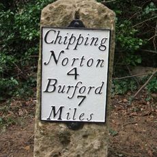
Milestone, Barters Hill Farm
2.8 km
Milestone, Forest Road; Dyers Hill, half mile W of Charlbury Station
2.2 km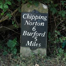
Milestone, Station Road; 20m S of turn to Shipton Mill
3.8 km
Milestone, Rangers Lawn
737 m¿Has visitado este lugar? Toca las estrellas para valorarlo y compartir tu experiencia o fotos con la comunidad. ¡Pruébalo ahora! Puedes cancelarlo en cualquier momento.
¡Encuentra tesoros escondidos en cada aventura!
Desde cafeterías con encanto hasta miradores secretos, escapa de las multitudes y encuentra lugares que van contigo de verdad. Nuestra app te lo pone fácil: búsqueda por voz, filtros inteligentes, rutas optimizadas y consejos auténticos de viajeros de todo el mundo. ¡Descárgala ya y vive la aventura en tu móvil!

Un enfoque novedoso para descubrir el turismo❞
— Le Figaro
Todos los lugares que merecen ser explorados❞
— France Info
Una excursión a medida en solo unos clics❞
— 20 Minutes