
Botusfleming, village and civil parish in Cornwall, England, UK
Ubicación: Cornwall
Elevación por encima del mar: 50,2 m
Coordenadas GPS: 50.43000,-4.24800
Última actualización: 23 de marzo de 2025 a las 06:41
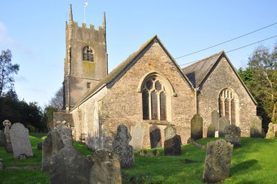
Church of St Stephen
3.2 km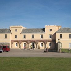
Pentillie
3.3 km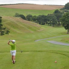
St. Mellion International Resort
5 km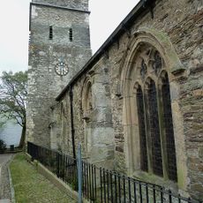
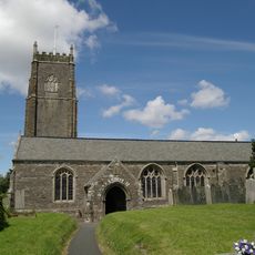
Parish Church of St Nicholas and St Faith
3.7 km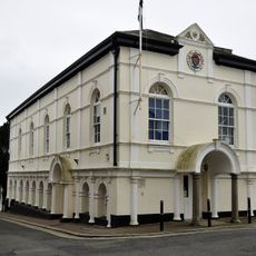
Saltash Guildhall
3.7 km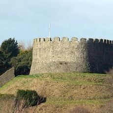
Trematon Castle
3.4 km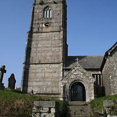
Church of St Mellanus
4.5 km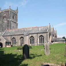
Church of St Leonard and St Dilp
2.7 km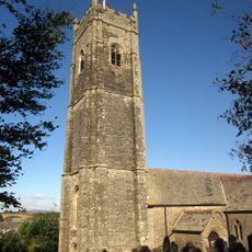
Church of St Michael
3.1 km
Church of St Odulphus
4.8 km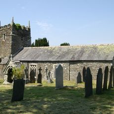
Church of St Terminus
4 km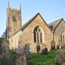
Church of St Mary
32 m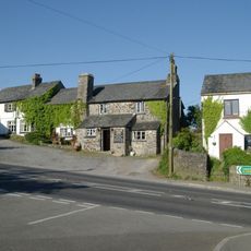
Coryton Arms Excluding Extension On Left Hand Gable End
4.5 km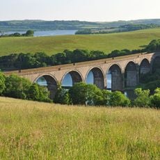
Forder Viaduct
3.8 km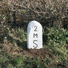
Milestone Near Withy Cross
1.6 km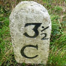
Milestone To East Of The Glebe
4.3 km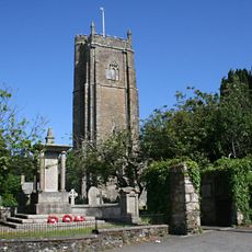
St Stephens by Saltash War Memorial
3.2 km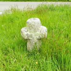
Trehan Cross, at Trehan village
3.2 km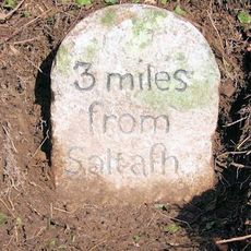
Milestone To East Of Notter Bridge
1.9 km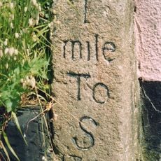
Milestone At Burraton Cross
2 km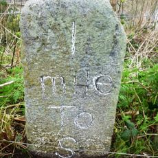
Milestone At Ngr Sx4211259431
2.5 km
Milestone At Sx 366 633
4.3 km
Milestone To South East Of Carkeel
1.2 km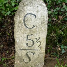
Milestone North Of Hatt (Ngr Sx3987662632)
1.4 km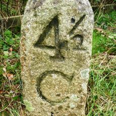
Milestone At Paynters Cross
2.9 km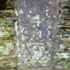
Milestone
3.3 km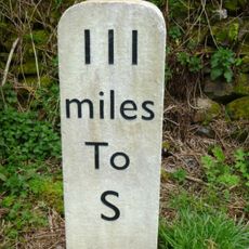
Milestone, Botus Fleming, Callington Road, NW of Carkeel, S of Hatt
717 m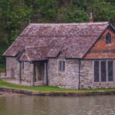
Bathing House At Pentillie Quay And Quay
3.4 km¿Has visitado este lugar? Toca las estrellas para valorarlo y compartir tu experiencia o fotos con la comunidad. ¡Pruébalo ahora! Puedes cancelarlo en cualquier momento.
¡Encuentra tesoros escondidos en cada aventura!
Desde cafeterías con encanto hasta miradores secretos, escapa de las multitudes y encuentra lugares que van contigo de verdad. Nuestra app te lo pone fácil: búsqueda por voz, filtros inteligentes, rutas optimizadas y consejos auténticos de viajeros de todo el mundo. ¡Descárgala ya y vive la aventura en tu móvil!

Un enfoque novedoso para descubrir el turismo❞
— Le Figaro
Todos los lugares que merecen ser explorados❞
— France Info
Una excursión a medida en solo unos clics❞
— 20 Minutes