
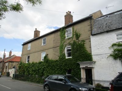
The Surgery, building in Stoke Ferry, King's Lynn and West Norfolk, Norfolk, UK
Ubicación: Stoke Ferry
Coordenadas GPS: 52.57015,0.51511
Última actualización: 3 de marzo de 2025 a las 03:01
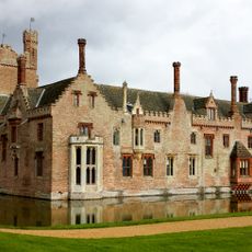
Oxburgh Hall
3.9 km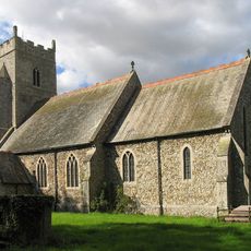
Church of All Saints
2.4 km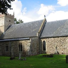
Church of St Margaret
3 km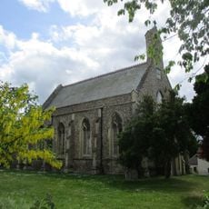
Church of All Saints
88 m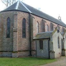
Church of the Immaculate Conception of the Blessed Virgin Mary and St Margaret
3.8 km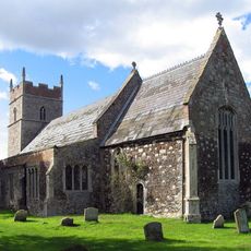
Church of All Saints
1.5 km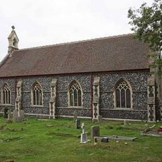
Christchurch
1.3 km
Stoke Ferry War Memorial
113 m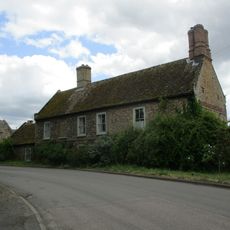
Canterbury House
140 m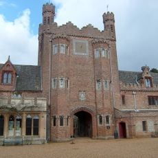
Park Boundary Wall Including Tower And Gateway
3.7 km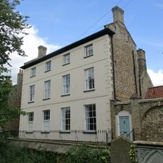
Park House Including Stable Yard To East
75 m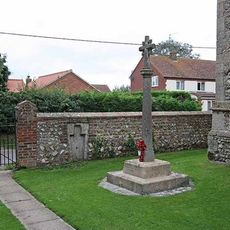
Boughton War Memorial
2.4 km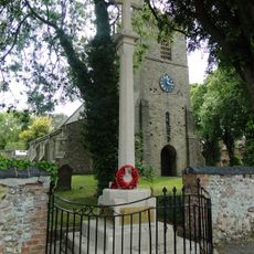
Wereham War Memorial
3 km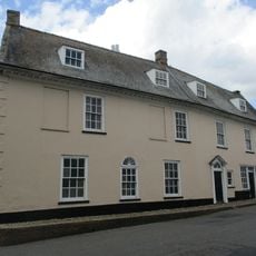
Cobbles
171 m
Crown House
116 m
All Saints Lodge
119 m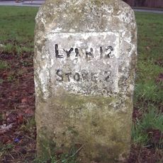
Milestone, opp. village hall, Church Rd
3.1 km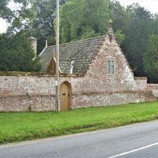
Chapel Lodge
3.8 km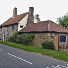
Hall Farmhouse
4 km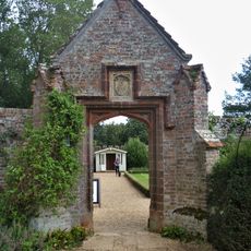
Pedestrian Gateway Approximately 70 Metres North East Of Oxburgh Hall
4 km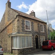
The Old Chemists Shop
50 m
Stoke Ferry Hall
150 m
The Old Granary
47 m
Former Stables, Coach House And Attached Gate Posts
4 km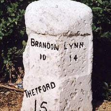
Milestone, Bridge Rd 20yds S of Hawthorn Lodge
208 m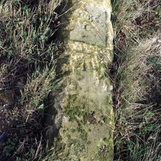
Milestone, Methwold Rd, Whittington
1.7 km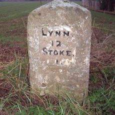
Milestone, Lynn Road, by 'The Four Winds',
1.6 km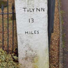
Milestone, Opposite The Blue Bell
483 m¿Has visitado este lugar? Toca las estrellas para valorarlo y compartir tu experiencia o fotos con la comunidad. ¡Pruébalo ahora! Puedes cancelarlo en cualquier momento.
¡Encuentra tesoros escondidos en cada aventura!
Desde cafeterías con encanto hasta miradores secretos, escapa de las multitudes y encuentra lugares que van contigo de verdad. Nuestra app te lo pone fácil: búsqueda por voz, filtros inteligentes, rutas optimizadas y consejos auténticos de viajeros de todo el mundo. ¡Descárgala ya y vive la aventura en tu móvil!

Un enfoque novedoso para descubrir el turismo❞
— Le Figaro
Todos los lugares que merecen ser explorados❞
— France Info
Una excursión a medida en solo unos clics❞
— 20 Minutes