
Plough Farmhouse, farmhouse in Leintwardine, County of Herefordshire, UK
Ubicación: Leintwardine
Coordenadas GPS: 52.36601,-2.87723
Última actualización: 2 de marzo de 2025 a las 22:30
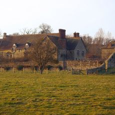
The Grange
3.4 km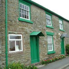
Sun Inn
778 m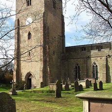
Church of St Mary Magdalene
490 m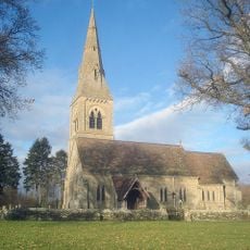
Church of St Giles
3.4 km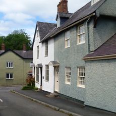
1 and 3, Church Street
540 m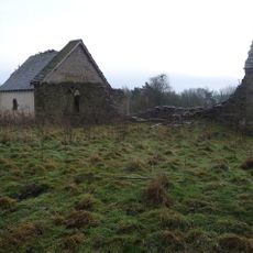
Church of St Giles, Downton on the Rock
2.7 km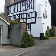
7, Church Street
535 m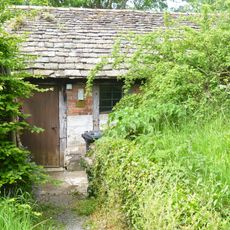
Outbuilding About 20 Yards South-West Of The Tower Of The Church Of St Mary Magdalene
516 m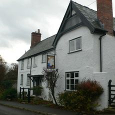
The Swan
596 m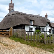
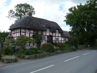
The Thatched Cottage
3.5 km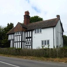
Bedstone Court Lodge
3.5 km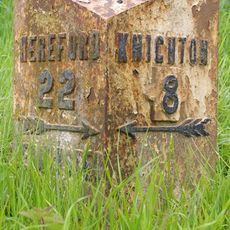
Milestone And Milepost At National Grid Reference So400714
3.2 km
The Mill
3.3 km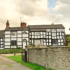
Paytoe Hall
3.2 km
Brick House
3.5 km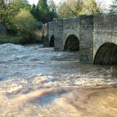
Leintwardine Bridge
756 m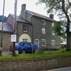
Bank House
570 m
Gate Piers, Gates And Railings Immediately To South Of Bedstone Court Lodge
3.5 km
Gatehouse Attached To West End Of The Grange
3.4 km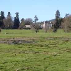
Broadward Hall
2.5 km
Outbuilding About 95 Yards West-north-west Of The Grange
3.3 km
Storage Building About 100 Yards West-north-west Of The Grange
3.3 km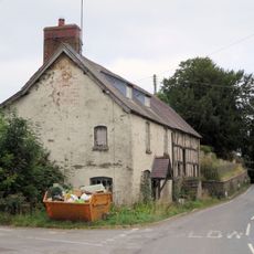
The Farm
3.5 km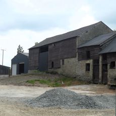
Barn And Stable About 15 Yards East Of Paytoe Hall
3.2 km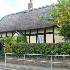
33, High Street
243 m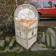
Milepost, High Street, Leintwardine
646 m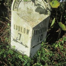
Milepost, Billings Wood
2.1 km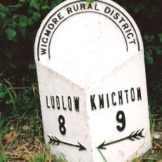
Milepost, Lower Todding
787 mOpiniones
¿Has visitado este lugar? Toca las estrellas para valorarlo y compartir tu experiencia o fotos con la comunidad. ¡Pruébalo ahora! Puedes cancelarlo en cualquier momento.
¡Encuentra tesoros escondidos en cada aventura!
Desde cafeterías con encanto hasta miradores secretos, escapa de las multitudes y encuentra lugares que van contigo de verdad. Nuestra app te lo pone fácil: búsqueda por voz, filtros inteligentes, rutas optimizadas y consejos auténticos de viajeros de todo el mundo. ¡Descárgala ya y vive la aventura en tu móvil!

Un enfoque novedoso para descubrir el turismo❞
— Le Figaro
Todos los lugares que merecen ser explorados❞
— France Info
Una excursión a medida en solo unos clics❞
— 20 Minutes