
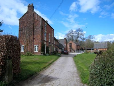
Shirley Mill Farmhouse, Grade II listed farmhouse in the parish of Shirley, Derbyshire Dales, Derbyshire, UK
Ubicación: Shirley
Coordenadas GPS: 52.96492,-1.68424
Última actualización: 4 de marzo de 2025 a las 03:30
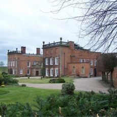
Longford Hall
2.6 km
Ednaston Manor
2.9 km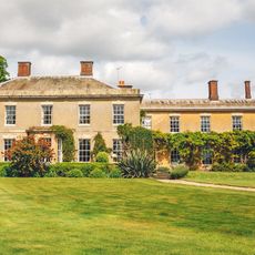
Yeldersley Hall, Derbyshire
3.2 km
Yeaveley Preceptory
4.2 km
Church of All Saints
3.2 km
Church of St Michael
963 m
St Chad's Church, Longford
2.6 km
Church of St Martin
3.4 km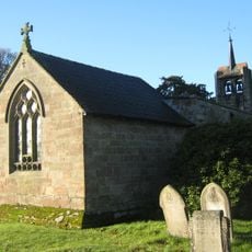
Church of St James
3.7 km
Medieval settlement, including site of chapel and part of the open field system, immediately north east of Alkmonton Old Hall Fa
3.8 km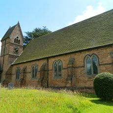
Christ Church, Long Lane
4.8 km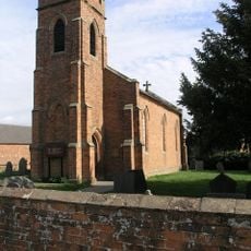
Holy Trinity Church
2.7 km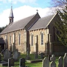
Church of St John
3.5 km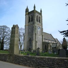
War Memorial South West of Church of St Martin
3.4 km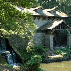
Saw Mill
2 km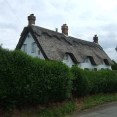
Yew Tree Cottage
412 m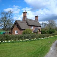
Park View Cottage
3 km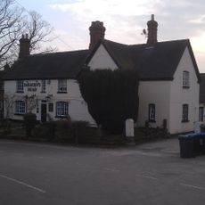
The Saracen's Head Public House
888 m
Thatched Cottage
866 m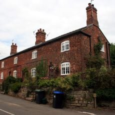
Terrace of three cottages opposite the Saracen's Head pub
910 m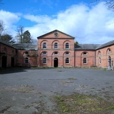
Stable Block And Coach House At Longford Hall Farm
2.5 km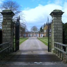
Gates And Gatepiers To East Of Longford Hall
2.7 km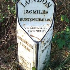
Mile Post At Os 212435
2.7 km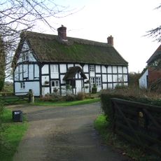
Chapelhouse Farmhouse
4.2 km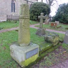
Anglo-Scandinavian high cross shaft and medieval cross base in the churchyard of All Saints' Church
3.2 km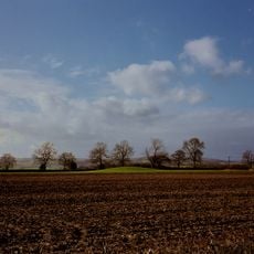
Tinker's Inn bowl barrow, south
4.7 km
Two bowl barrows at Osmaston Fields, north
4.8 km
Wyaston hlaew
2.5 km¿Has visitado este lugar? Toca las estrellas para valorarlo y compartir tu experiencia o fotos con la comunidad. ¡Pruébalo ahora! Puedes cancelarlo en cualquier momento.
¡Encuentra tesoros escondidos en cada aventura!
Desde cafeterías con encanto hasta miradores secretos, escapa de las multitudes y encuentra lugares que van contigo de verdad. Nuestra app te lo pone fácil: búsqueda por voz, filtros inteligentes, rutas optimizadas y consejos auténticos de viajeros de todo el mundo. ¡Descárgala ya y vive la aventura en tu móvil!

Un enfoque novedoso para descubrir el turismo❞
— Le Figaro
Todos los lugares que merecen ser explorados❞
— France Info
Una excursión a medida en solo unos clics❞
— 20 Minutes