
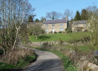
Dale Cottage Farmhouse, Grade II listed farmhouse in the parish of Ashover, North East Derbyshire, Derbyshire, UK
Ubicación: Ashover
Coordenadas GPS: 53.15051,-1.46326
Última actualización: 5 de junio de 2025 a las 19:47
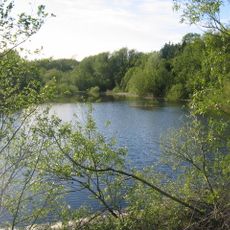
Ogston Reservoir
2.2 km
Ogston Hall
2.6 km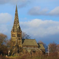
St Bartholomew’s Church, Clay Cross
3.6 km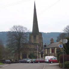
Church of All Saints
1.9 km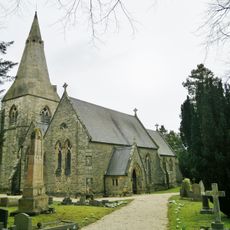
Holy Trinity Church
2.9 km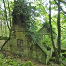
Ruins of Trinity Chapel
2.3 km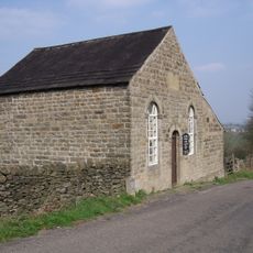
Ashover Hay Primitive Methodist Chapel
568 m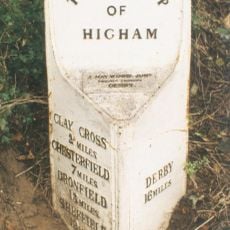
Mile Post 14 Metres North Of Quarry Farmhouse, Higham
3.7 km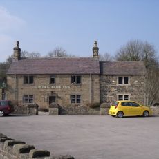
The Miners Arms Public House
528 m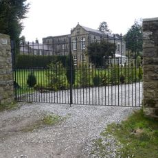
Overton Hall and attached outbuildings
1.5 km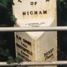
Mile Post Opposite Hilltop Farmhouse
3.3 km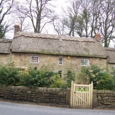
Stubben Edge Cottage
304 m
Toll Bar Cottage
637 m
Clattercotes Farmhouse
1.3 km
Holmgate House
2.5 km
K6 telephone kiosk north of West Bank
1.8 km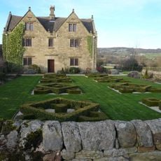
Raven House
862 m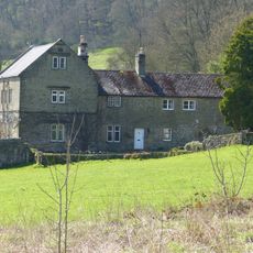
Ravensnest and attached farm buildings Ravensnest and The Beeches
1.3 km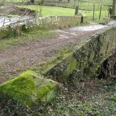
Footbridge
1.7 km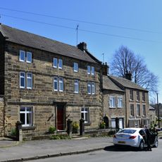
West Bank, attached wall and gate piers, and attached outbuilding to south
1.8 km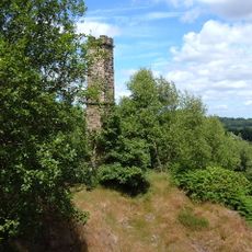
Chimney at Ravensnest
1.5 km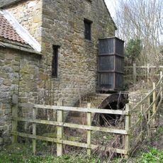
Fallgate Mill
878 m
Three Bridges At Smithymoor Nr Stretton Station
2.7 km
Pound to the south of the Miners Arms
520 m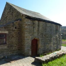
Outbuilding to the south of Clattercotes Farmhouse
1.3 km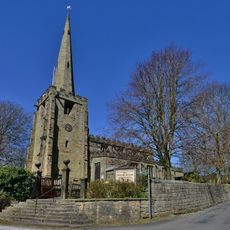
Gatepiers And Steps To The South Of Church Of All Saints
1.9 km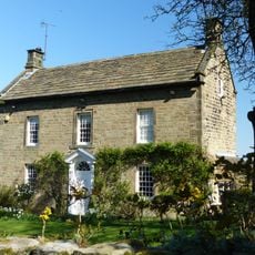
West View
568 m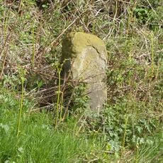
Milestone, Reservoir Farm
2.1 km¿Has visitado este lugar? Toca las estrellas para valorarlo y compartir tu experiencia o fotos con la comunidad. ¡Pruébalo ahora! Puedes cancelarlo en cualquier momento.
¡Encuentra tesoros escondidos en cada aventura!
Desde cafeterías con encanto hasta miradores secretos, escapa de las multitudes y encuentra lugares que van contigo de verdad. Nuestra app te lo pone fácil: búsqueda por voz, filtros inteligentes, rutas optimizadas y consejos auténticos de viajeros de todo el mundo. ¡Descárgala ya y vive la aventura en tu móvil!

Un enfoque novedoso para descubrir el turismo❞
— Le Figaro
Todos los lugares que merecen ser explorados❞
— France Info
Una excursión a medida en solo unos clics❞
— 20 Minutes