
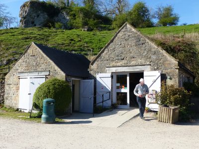
Wetton Mill Cafe, coffeehouse in Wetton, Staffordshire Moorlands, Staffordshire, UK
Ubicación: Wetton
Coordenadas GPS: 53.10210,-1.85876
Última actualización: 9 de marzo de 2025 a las 16:56
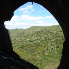
Thor's Cave
1.2 km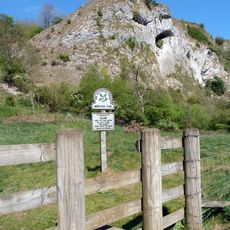
Beeston Tor
2.3 km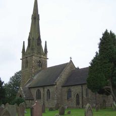
St Bartholomew's Church, Butterton
2 km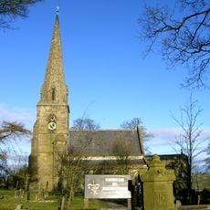
Church of All Saints
1.9 km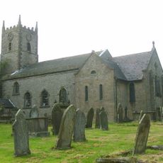
Church of St Laurence
2.7 km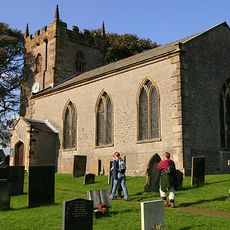
Church of St Margaret
1.5 km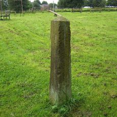
Obelisk and memorial approximately 50 yards south of Church of All Saints
1.9 km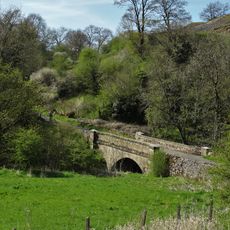
Dale Bridge
2.3 km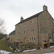
Pepper Inn
1 km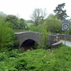
Weags Bridge
2 km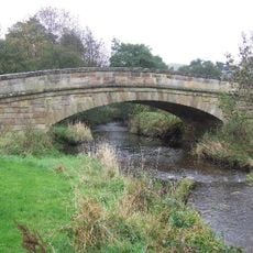
Bridge over River Manifold (that part in Fawfieldhead CP)/Bridge over River Manifold (that part In Sheen CP)
3.3 km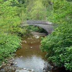
Darfar Bridge
357 m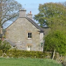
Cawbrook Farmhouse
1.8 km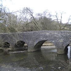
Wetton Bridge
34 m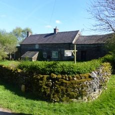
Dalefields and attached outbuildings
1.9 km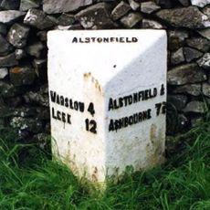
Milepost Approximately 100 Yards North West Of The Hollows
3.2 km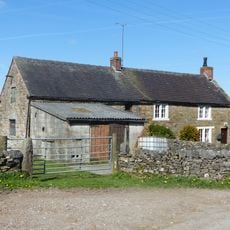
Grindley Croft
1.9 km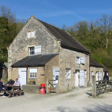
Stable Block And Granary East Of Wetton Mill House
34 m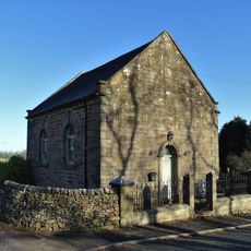
Warslow Methoist Chapel, Forecourt Wall, Railings, Gate And Gate Piers
3 km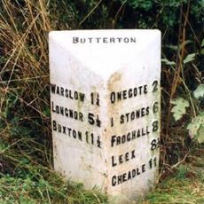
Milepost Approximately 200 Yards South West Of Brownlow Bridge
2.7 km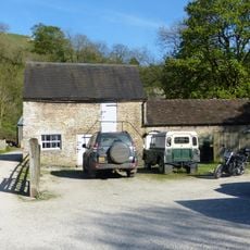
Stable block and granary approximately 20 yards south east of Wetton Mill House
38 m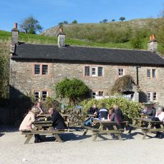
Wetton Mill House
16 m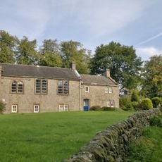
School And Attached House
2.6 km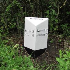
Milepost Approximately 1 Mile North West Of Gateham Grange
2.5 km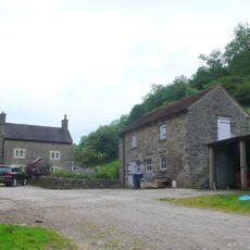
Dale Farmhouse
190 m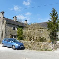
Manor House
1.5 km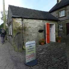
Alstonefield Geohut
3.3 km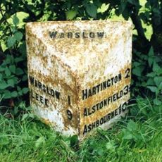
Milepost, W of Hulme End
3.3 kmOpiniones
¿Has visitado este lugar? Toca las estrellas para valorarlo y compartir tu experiencia o fotos con la comunidad. ¡Pruébalo ahora! Puedes cancelarlo en cualquier momento.
¡Encuentra tesoros escondidos en cada aventura!
Desde cafeterías con encanto hasta miradores secretos, escapa de las multitudes y encuentra lugares que van contigo de verdad. Nuestra app te lo pone fácil: búsqueda por voz, filtros inteligentes, rutas optimizadas y consejos auténticos de viajeros de todo el mundo. ¡Descárgala ya y vive la aventura en tu móvil!

Un enfoque novedoso para descubrir el turismo❞
— Le Figaro
Todos los lugares que merecen ser explorados❞
— France Info
Una excursión a medida en solo unos clics❞
— 20 Minutes