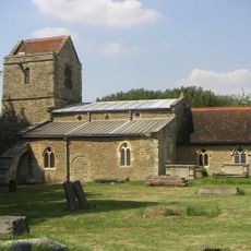
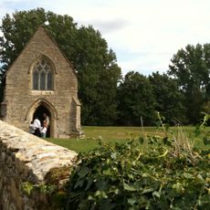
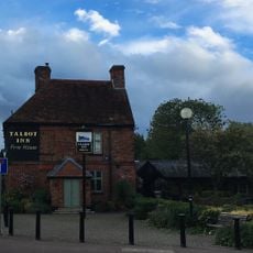
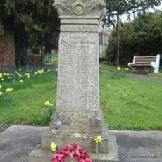
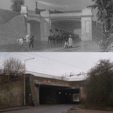
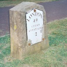
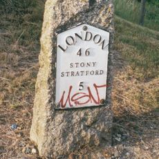
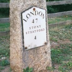
Loughton & Great Holm, civil parish in Milton Keynes, Buckinghamshire, England
Ubicación: City of Milton Keynes
Coordenadas GPS: 52.02689,-0.77709
Última actualización: 6 de marzo de 2025 a las 03:28
National Bowl
1.5 km
Concrete Cows
3 km
The Point
2.2 km
Milton Keynes Theatre
2.7 km
Campbell Park
3.2 km
Church of Christ the Cornerstone
1.9 km
Quadrant:MK
1.2 km
Energy World
1 km
Oxley Woods
2.6 km
All Saints Church, Loughton
719 m
Church of the Servant King, Furzton
2.1 km
St. Mary's Church, Shenley
959 m
Oxley Mead
3.2 km
Church of the Holy Cross, Two Mile Ash
1.9 km
Church of St Lawrence
2.4 km
Chapel To North Of Bradwell Abbey House
2.7 km
Christ the Vine
2.2 km
The Talbot Inn
693 m
Shenley War Memorial
936 m
Milton Keynes Central Library
2.2 km
Former Bus Station, Station Square, Milton Keynes
957 m
Octo
2 km
Denbigh Hall Railway Bridge
3 km
Shopping Building
2.4 km
Milestone, Watling Street; on brow of hill in open area, Two Mile Ash
2.6 km
Milestone, Watling Street; 100m W of roundabout with Standing Way, W of Redmoor
2.3 km
Milestone, Watling Street; Shenley Lodge, at jct with Kelvin Drive, N of Chaffron Way roundabout
810 m
Milestone, Watling Street; at jct with Old Bell Lane, N of Shenley Church End
999 mOpiniones
¿Has visitado este lugar? Toca las estrellas para valorarlo y compartir tu experiencia o fotos con la comunidad. ¡Pruébalo ahora! Puedes cancelarlo en cualquier momento.
¡Encuentra tesoros escondidos en cada aventura!
Desde cafeterías con encanto hasta miradores secretos, escapa de las multitudes y encuentra lugares que van contigo de verdad. Nuestra app te lo pone fácil: búsqueda por voz, filtros inteligentes, rutas optimizadas y consejos auténticos de viajeros de todo el mundo. ¡Descárgala ya y vive la aventura en tu móvil!
Un enfoque novedoso para descubrir el turismo❞
— Le Figaro
Todos los lugares que merecen ser explorados❞
— France Info
Una excursión a medida en solo unos clics❞
— 20 Minutes