
Ashton Village Hall, Grade II listed building in Ashton Hayes, Cheshire, UK
Ubicación: Ashton Hayes and Horton-cum-Peel
Coordenadas GPS: 53.22310,-2.73890
Última actualización: 10 de marzo de 2025 a las 09:16
St Andrew's Church, Tarvin
3.2 km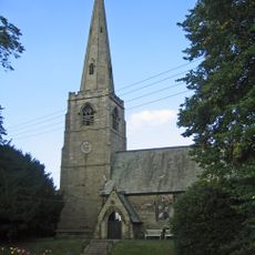
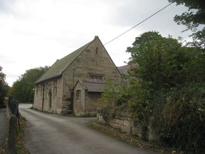
St John the Evangelist's Church, Ashton Hayes
54 m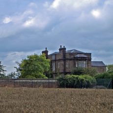
Peel Hall
920 m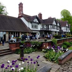
Manley Knoll
2.8 km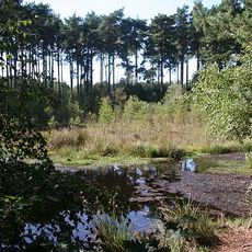
Black Lake Nature Reserve
3.2 km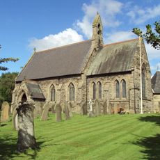
St Philip's Church, Kelsall
2.5 km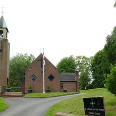
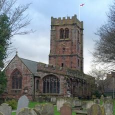
Church of St Cuthbert by the Forest
895 m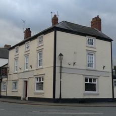
Red Lion
3.3 km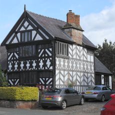
Church House
3.3 km
Number 86 and attached outbuilding
3.1 km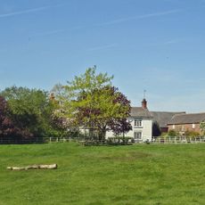
Mouldsworth Hall
977 m
Kelsall Hall
2.3 km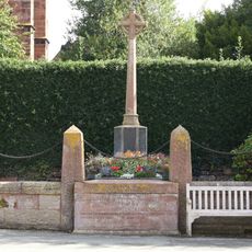
Tarvin War Memorial
3.3 km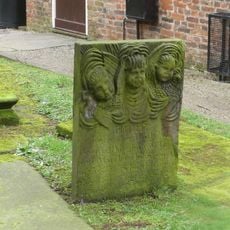
Tombstone of Beatrix Hollinsworth 12 metres west door of Church of St Andrew
3.3 km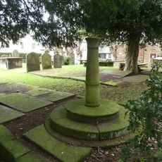
Sundial in the churchyard of St Andrew
3.3 km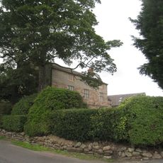
Ashton Hall Farmhouse
816 m
The Flaggs and Hamilton House, and front garden walls and gates
3.3 km
Laurel House
3.1 km
Dovecot 45 metres east of Manley Old Hall
2.8 km
Church Hall, Grammar School House and the Hearse House
3.3 km
Gates and gatepiers to the churchyard of St. Andrew
3.3 km
76, High Street
3.1 km
78 and 80, High Street
3.1 km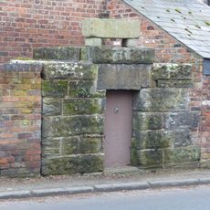
Lock up on the end of the barn at Weldon House
2.2 km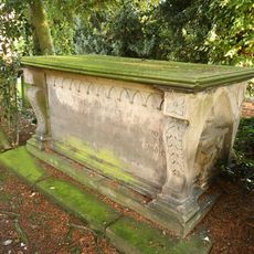
Tombchest of William Sandbach and others, 5m south-east of sundial in churchyard of St Andrew
3.3 km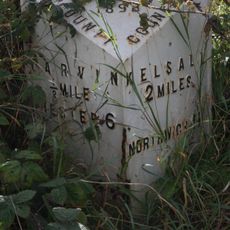
Milepost, Tarvin Sands
2.5 km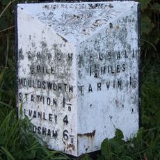
Milepost, S of Ashton Village
1.1 km
Milepost, Chester Road
2.4 km¿Has visitado este lugar? Toca las estrellas para valorarlo y compartir tu experiencia o fotos con la comunidad. ¡Pruébalo ahora! Puedes cancelarlo en cualquier momento.
¡Encuentra tesoros escondidos en cada aventura!
Desde cafeterías con encanto hasta miradores secretos, escapa de las multitudes y encuentra lugares que van contigo de verdad. Nuestra app te lo pone fácil: búsqueda por voz, filtros inteligentes, rutas optimizadas y consejos auténticos de viajeros de todo el mundo. ¡Descárgala ya y vive la aventura en tu móvil!

Un enfoque novedoso para descubrir el turismo❞
— Le Figaro
Todos los lugares que merecen ser explorados❞
— France Info
Una excursión a medida en solo unos clics❞
— 20 Minutes