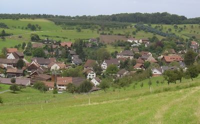
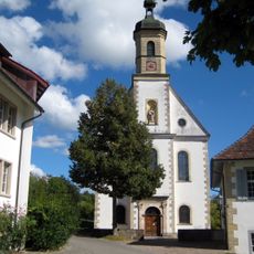
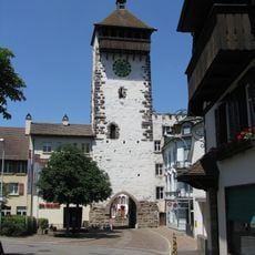
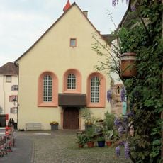
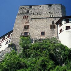
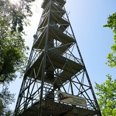
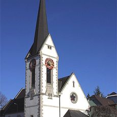
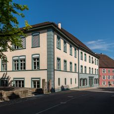
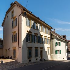
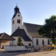
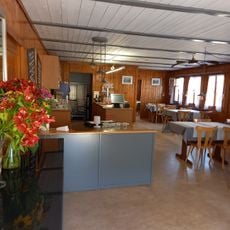
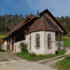
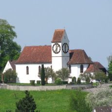
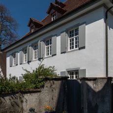
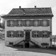
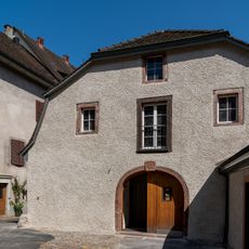
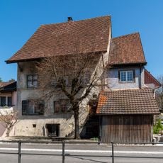
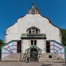
Olsberg, municipality in the canton Aargau, Switzerland
Ubicación: Aargau
Ubicación: Rheinfelden District
Elevación por encima del mar: 374 m
Sitio web: https://www.olsberg.ch/
Parte de: RPV Fricktal Regio
Sitio web: https://olsberg.ch
Coordenadas GPS: 47.52333,7.78472
Última actualización: 6 de marzo de 2025 a las 02:52
Building Feldschlösschen brewery with pub and factory owner's villa
2.8 km
Burg Stein
3.5 km
Former Cistercian convent with church, convent building and convent barn
845 m
Hülftenschanz
5 km
Rheinfelder Brücke
3.4 km
Christ catholic collegiate church of St. Martin
3.5 km
Ruins Altenberg
3.7 km
City fortification (city wall with moat, Obertorturm, Kupfer- / Storchennestturm, Messer- / Diebsturm)
3.5 km
Former Capuchin church
3.4 km
Burgruine Burghalden
5 km
Schleifenbergturm
4.6 km
Reformierte Kirche Rheinfelden
3.5 km
Schoolhouse Hugenfeld
3.4 km
Zum Lustgarten house
3.5 km
Galluskirche
3.4 km
Giebenach
2.8 km
St. Nikolaus chapel
3.2 km
Christ catholic church with rectory and parish barn
2.1 km
Christ catholic rectory
2.1 km
Tenant house
3.3 km
Christ catholic parish hall
3.5 km
Augst amphitheatre
4.8 km
Residential building (1604)
2.2 km
Burghalde, medieval refuge castle ruin
5 km
Wohnhaus und Brunnen
4.5 km
Roman water conduit
4.5 km
Parish barn
2.1 km
Gymnasium
3.4 kmOpiniones
¿Has visitado este lugar? Toca las estrellas para valorarlo y compartir tu experiencia o fotos con la comunidad. ¡Pruébalo ahora! Puedes cancelarlo en cualquier momento.
¡Encuentra tesoros escondidos en cada aventura!
Desde cafeterías con encanto hasta miradores secretos, escapa de las multitudes y encuentra lugares que van contigo de verdad. Nuestra app te lo pone fácil: búsqueda por voz, filtros inteligentes, rutas optimizadas y consejos auténticos de viajeros de todo el mundo. ¡Descárgala ya y vive la aventura en tu móvil!
Un enfoque novedoso para descubrir el turismo❞
— Le Figaro
Todos los lugares que merecen ser explorados❞
— France Info
Una excursión a medida en solo unos clics❞
— 20 Minutes