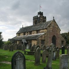
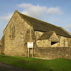
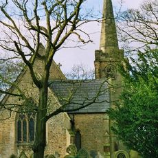
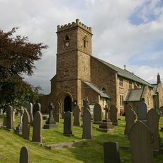
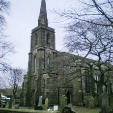
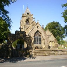
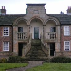
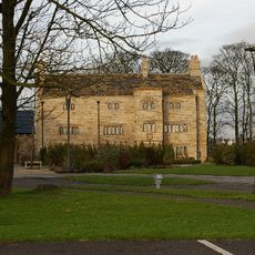
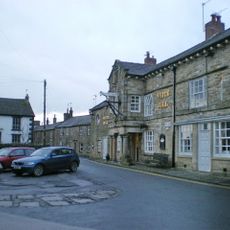
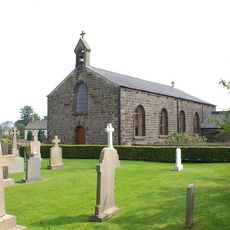
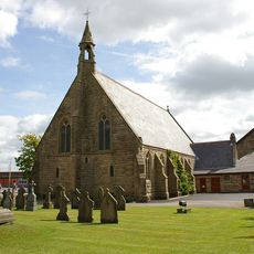
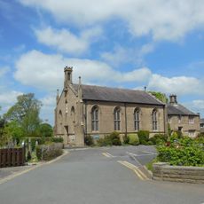
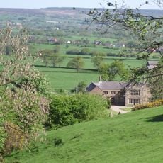
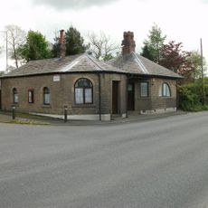
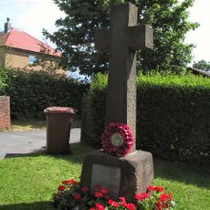
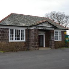
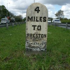
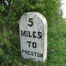
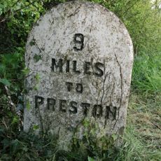
Balderstone, village and civil parish in the Ribble Valley district of Lancashire, England
Ubicación: Ribble Valley
Coordenadas GPS: 53.78826,-2.57427
Última actualización: 28 de mayo de 2025 a las 15:31
Samlesbury Hall
2.1 km
Bremetennacum
3.6 km
Alston Hall
1.9 km
St Wilfrid's Church, Ribchester
3.6 km
Church of St Leonard the Less, Samlesbury
4 km
St Saviour's Church, Stydd
4.6 km
St Leonard's Church, Balderstone
962 m
St Lawrence's Church, Longridge
4.5 km
St Mary's Church, Mellor
3.3 km
St Michael's Church, Grimsargh
4.2 km
Almshouses
4.5 km
Stanley House
3.5 km
White Bull Hotel And Former Stable Adjoining To The North
3.8 km
Church of St Peter and St Paul
4.4 km
Church of Our Lady
3.4 km
Church of St Mary With Presbytery
2.7 km
Roman Catholic Church of Saint John Southworth and Attached Presbytery
3.7 km
The Samuel Whitbread
4.4 km
Roman Baths Ribchester
3.8 km
Oxendale Hall
3 km
Osbaldeston Hall
2.8 km
Oaks Bar
4.9 km
War Memorial on South Side of Road Outside Number 270
4.1 km
Old Font Outside East Wall Of Church Of St Leonard The Less
3.9 km
Samlesbury Memorial Hall
3.4 km
Milestone, W of A677/B6230 jcn
3.2 km
Milestone, W of Samlesbury Hall
2.3 km
Milestone, Longsight Road at SD6669833285
4.5 kmOpiniones
¿Has visitado este lugar? Toca las estrellas para valorarlo y compartir tu experiencia o fotos con la comunidad. ¡Pruébalo ahora! Puedes cancelarlo en cualquier momento.
¡Encuentra tesoros escondidos en cada aventura!
Desde cafeterías con encanto hasta miradores secretos, escapa de las multitudes y encuentra lugares que van contigo de verdad. Nuestra app te lo pone fácil: búsqueda por voz, filtros inteligentes, rutas optimizadas y consejos auténticos de viajeros de todo el mundo. ¡Descárgala ya y vive la aventura en tu móvil!
Un enfoque novedoso para descubrir el turismo❞
— Le Figaro
Todos los lugares que merecen ser explorados❞
— France Info
Una excursión a medida en solo unos clics❞
— 20 Minutes