
Lew, village and civil parish in West Oxfordshire, England
Ubicación: West Oxfordshire
Parte de: Curbridge and Lew
Comparte frontera con: Curbridge, Brize Norton, Bampton, Aston, Cote, Shifford and Chimney, Ducklington
Coordenadas GPS: 51.75600,-1.53100
Última actualización: 27 de abril de 2025 a las 06:49
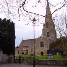
Church of St Mary, Bampton
3.4 km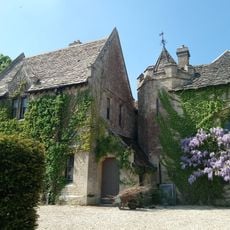
Bampton Castle
3.7 km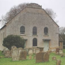
Cote Baptist Church
4.3 km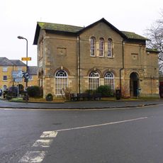
Town Hall
3.4 km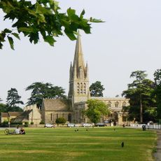
Church of St Mary the Virgin, Witney
4.2 km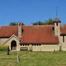
Church of St John the Baptist
2.4 km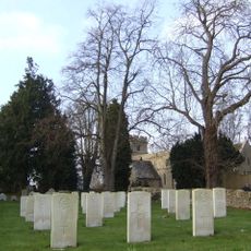
Church of St Mary the Virgin
4.4 km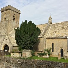
Church of St Britius
2.7 km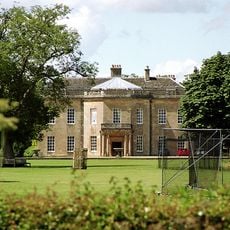
Cokethorpe House
4.6 km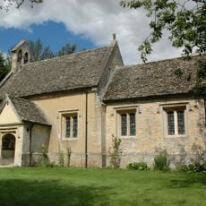
Church of St Nicholas And St Swithin
3.8 km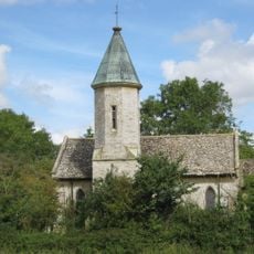
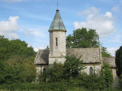
Church of the Holy Trinity
77 m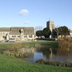
Church of St Bartholomew
3.6 km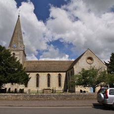
Church of St James
3.8 km
Ducklington Steam Rally
3 km
28-38, Church Green
4.2 km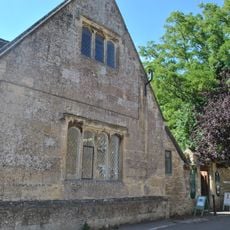
Bampton Library
3.4 km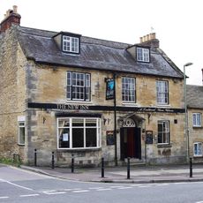
New Inn Public House
4.1 km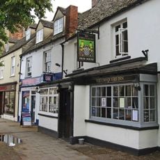
The Chequers Inn
4.2 km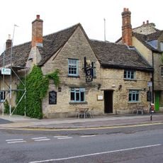
The Three Horseshoes Public House
4.2 km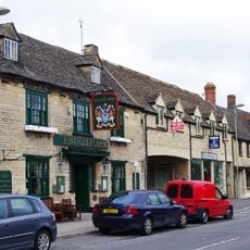
The Butcher's Arms Public House
4.2 km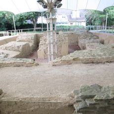
Bishop of Winchester's Palace, 90m east of St Mary's Church
4.3 km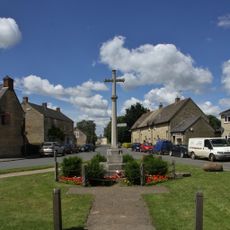
Aston War Memorial
3.8 km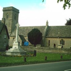
Brize Norton War Memorial
2.7 km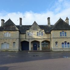
The Teaching Centre, Henry Box School
4.2 km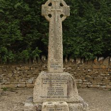
Black Bourton War Memorial
4.6 km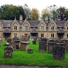
Holloways Almshouses
4.2 km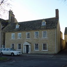
The Rectory and attached wall
4.3 km
The Old Rectory and attached wall
4.2 kmOpiniones
¿Has visitado este lugar? Toca las estrellas para valorarlo y compartir tu experiencia o fotos con la comunidad. ¡Pruébalo ahora! Puedes cancelarlo en cualquier momento.
¡Encuentra tesoros escondidos en cada aventura!
Desde cafeterías con encanto hasta miradores secretos, escapa de las multitudes y encuentra lugares que van contigo de verdad. Nuestra app te lo pone fácil: búsqueda por voz, filtros inteligentes, rutas optimizadas y consejos auténticos de viajeros de todo el mundo. ¡Descárgala ya y vive la aventura en tu móvil!

Un enfoque novedoso para descubrir el turismo❞
— Le Figaro
Todos los lugares que merecen ser explorados❞
— France Info
Una excursión a medida en solo unos clics❞
— 20 Minutes