
Swerford, village and civil parish in West Oxfordshire, England
Ubicación: West Oxfordshire
Coordenadas GPS: 51.97866,-1.45145
Última actualización: 8 de marzo de 2025 a las 18:32
Swerford Castle
530 m
Church of St Michael and All Angels, Great Tew
3.2 km
Church of St Peter
2.9 km
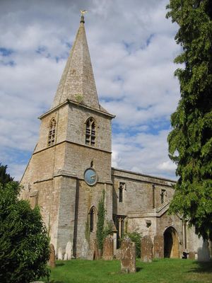
Church of St Mary
554 m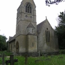
Church of St John the Evangelist
2.8 km
Church of Saint Giles
2.4 km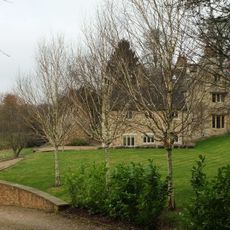
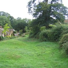
Church End
634 m
Churchyard Gateway Approximately 20 Metres East Of The Vicarage
3.2 km
Baptist Chapel
3 km
Swerford War Memorial
613 m
The Post Office
2.7 km
The Old Post Office
2.9 km
Benacre Cottage
2.5 km
House To Right Of The Old Sweet Shop
3.1 km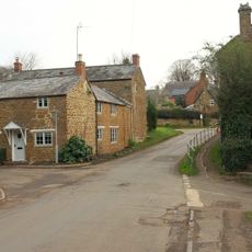
The Old Surgery
2.9 km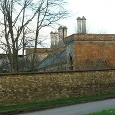
Great Tew House
2.9 km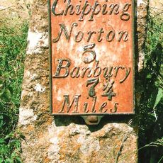
Milestone Approximately 250 Metres West Of The Masons Arms
594 m
Hook Norton Library
3 km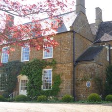
Old Rectory
631 m
21, Old Road
2.7 km
24, The Green
2.7 km
Priestfield
2.9 km
57 And 58, The Lane
2.6 km
The Old Sweet Shop
3.1 km
Gatepiers And Gates Approximately 80 Metres South East Of Great Tew House
3 km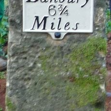
Milestone, Banbury Road; Swerford Heath, 50m W of lane to Heath Farm and 150m E of old toll house
1.7 km
Petra
3.1 km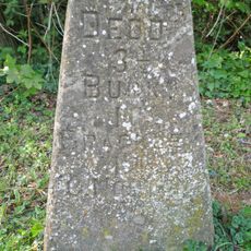
Milestone, Iron Down Hill, at jct with lane to Hill Farm
2.6 kmOpiniones
¿Has visitado este lugar? Toca las estrellas para valorarlo y compartir tu experiencia o fotos con la comunidad. ¡Pruébalo ahora! Puedes cancelarlo en cualquier momento.
¡Encuentra tesoros escondidos en cada aventura!
Desde cafeterías con encanto hasta miradores secretos, escapa de las multitudes y encuentra lugares que van contigo de verdad. Nuestra app te lo pone fácil: búsqueda por voz, filtros inteligentes, rutas optimizadas y consejos auténticos de viajeros de todo el mundo. ¡Descárgala ya y vive la aventura en tu móvil!

Un enfoque novedoso para descubrir el turismo❞
— Le Figaro
Todos los lugares que merecen ser explorados❞
— France Info
Una excursión a medida en solo unos clics❞
— 20 Minutes