
Bythorn and Keyston, civil parish in Cambridgeshire, England
Ubicación: Huntingdonshire
Coordenadas GPS: 52.37000,-0.43000
Última actualización: 6 de marzo de 2025 a las 05:22
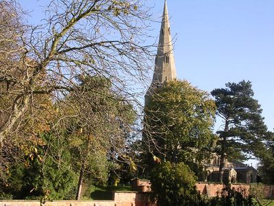
Church of St Peter Parish Church of St Peter
7.5 km
Thrapston Station Quarry
7.3 km
Titchmarsh Meadow
5.5 km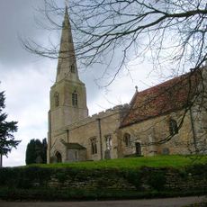
Parish Church of All Saints
1.3 km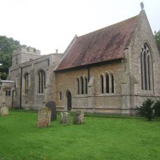
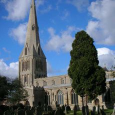
Parish Church of St Peter
38 m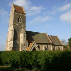
Church of St Peter
4.2 km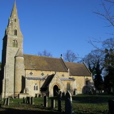
Church of All Saints And Chest Tomb Attached To North Aisle
6.2 km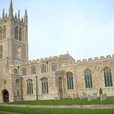
Church of St Mary the Virgin
6.3 km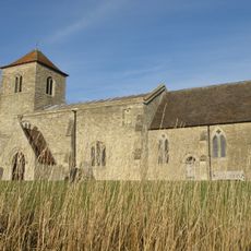
All Saints Church
5.3 km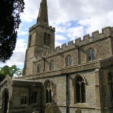
Parish Church of St Leonards
3.1 km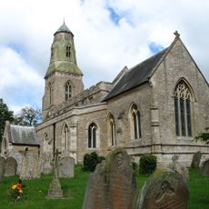
Parish Church of St Lawrence
1.3 km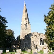
Parish Church of St Swithin
2.8 km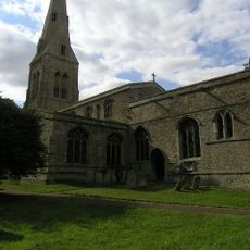
Parish Church of St John the Baptist
2.6 km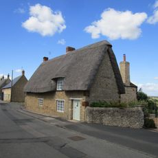
6, Church Street
6.2 km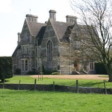
The Old Rectory
6.4 km
White Hart Public House
1.4 km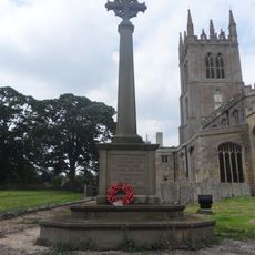
Titchmarsh War Memorial
6.2 km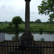
Denford War Memorial, Northamptonshire
7.7 km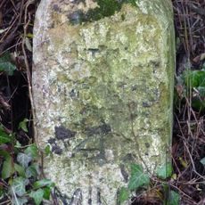
Milestone K4 on highway B660 at TL0855973579
2.7 km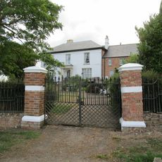
Bythorn House
1.4 km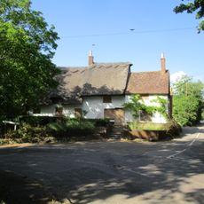
The Nags Head Public House
6.1 km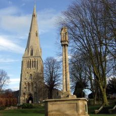
Raunds War Memorial
7.5 km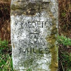
Milestone K3 on highway B660 at TL0869372088
4.1 km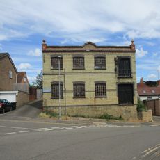
Wescam Engineering (Ernest Chambers Heel Factory)
7.5 km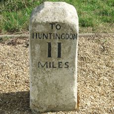
Milestone Circa 300 Metres To East Of Road Junction To Molesworth Village
955 m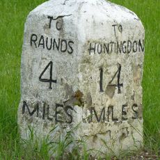
Milestone, Raunds Road, Keyston at jct with The Loop
2.6 km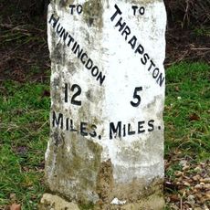
Milestone Circa 10 Metres To West Of The Cottage
848 m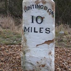
Milestone, on slip road, nr junction with B660
1.9 kmOpiniones
¿Has visitado este lugar? Toca las estrellas para valorarlo y compartir tu experiencia o fotos con la comunidad. ¡Pruébalo ahora! Puedes cancelarlo en cualquier momento.
¡Encuentra tesoros escondidos en cada aventura!
Desde cafeterías con encanto hasta miradores secretos, escapa de las multitudes y encuentra lugares que van contigo de verdad. Nuestra app te lo pone fácil: búsqueda por voz, filtros inteligentes, rutas optimizadas y consejos auténticos de viajeros de todo el mundo. ¡Descárgala ya y vive la aventura en tu móvil!

Un enfoque novedoso para descubrir el turismo❞
— Le Figaro
Todos los lugares que merecen ser explorados❞
— France Info
Una excursión a medida en solo unos clics❞
— 20 Minutes