
A cairn and a rubble bank in Scale Knoll Allotment, 510m WSW of Haythwaite, Barningham Moor
A cairn and a rubble bank in Scale Knoll Allotment, 510m WSW of Haythwaite, Barningham Moor, archaeological site in Barningham, County Durham, England, UK
Ubicación: Barningham
Coordenadas GPS: 54.47510,-1.91999
Última actualización: 28 de octubre de 2025 a las 06:14
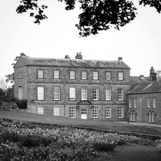
Barningham Park
3.6 km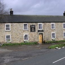
Milbank Arms
3.6 km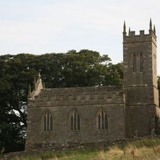
Church of St Mary
4 km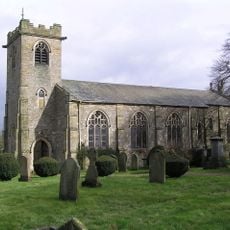
Church of St. Michael
3.6 km
Ruins of Old Church of St Mary
4.1 km
Monument On Adam Hill, South East Of Barningham Park
3.8 km
Carved rock and Romano-British settlement known as Greystone, 250m south of Moorcock Farm, Barningham Moor
1.6 km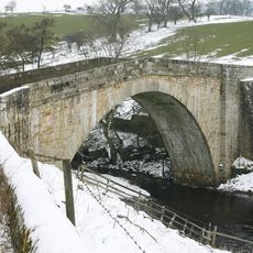
Rutherford Bridge
3.8 km
Cairn on the summit of Arndale Hill, Hope Moor
3.6 km
Cairn near the summit of a low ridge, 850m south west of Cocker Stake Nook, Hope Moor
2.8 km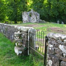
Churchyard Wall Around Old Church Of St Mary
4.1 km
Carved rock 380m ENE of Bragg House, Barningham Moor
2.5 km
A carved rock and boulder walling, near the south wall of Scale Knoll Allotment, 500m north east of Black Hill Gate
501 m
Carved rocks, cairnfield and rubble banks on the terrace south of Scale Knoll Allotment, immediately east of Black Hill Gate, Ba
674 m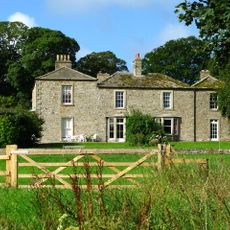
Brignall Grange
3.9 km
Cairn, 650m SSE of Bragg House, Barningham Moor
2.1 km
Prehistoric carved rocks and associated remains including cairns and a field system 800m south of Haythwaite, Barningham Moor
746 m
Carved rock and cairn in Rowley Intake, 410m south east of Cowclose House, Barningham Moor
1.5 km
Cairn south of Cross Gill, 645m south east of Black Hill Gate, Barningham Moor
1.2 km
Cairn, 625m SSE of Bragg House, Barningham Moor
2.1 km
Cairnfield and associated remains, 250m south east of Bragg House, Barningham Moor
2.4 km
A carved rock within a large enclosure, 800m north east of Badger Way Stoop, Barningham Moor
1.7 km
Cairn, 545m ESE of Bragg House, Barningham Moor
2.5 km
A carved rock between The Stang Forest boundary wall and Woodclose Gill, 750m south east of Far East Hope, Barningham Moor
780 m
Prehistoric settlement and associated remains including carved rocks and a stone circle 400m north west of How Tallon Cairn, Bar
1.2 km
Cairnfield on a small knoll at Badger Way Stoop, Barningham Moor
1.5 km
Carved rock north of Washbeck Green, 570m south of Haythwaite, Barningham Moor
639 m
Carved rock and prehistoric enclosure on west side of Scale Knoll Gill, 410m south west of Haythwaite, Barningham Moor
200 mOpiniones
¿Has visitado este lugar? Toca las estrellas para valorarlo y compartir tu experiencia o fotos con la comunidad. ¡Pruébalo ahora! Puedes cancelarlo en cualquier momento.
¡Encuentra tesoros escondidos en cada aventura!
Desde cafeterías con encanto hasta miradores secretos, escapa de las multitudes y encuentra lugares que van contigo de verdad. Nuestra app te lo pone fácil: búsqueda por voz, filtros inteligentes, rutas optimizadas y consejos auténticos de viajeros de todo el mundo. ¡Descárgala ya y vive la aventura en tu móvil!

Un enfoque novedoso para descubrir el turismo❞
— Le Figaro
Todos los lugares que merecen ser explorados❞
— France Info
Una excursión a medida en solo unos clics❞
— 20 Minutes