
Wall Along East Side Of Field Row Between Ambrose Place And Shelley Road
Wall Along East Side Of Field Row Between Ambrose Place And Shelley Road, wall in Worthing, West Sussex, UK
Ubicación: Worthing
Coordenadas GPS: 50.81167,-0.37252
Última actualización: 19 de marzo de 2025 a las 01:44
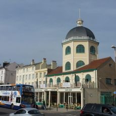
Dome Cinema
367 m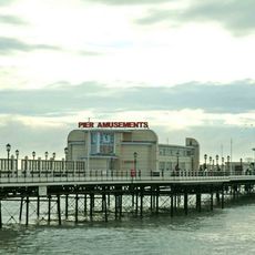
Worthing Pier
308 m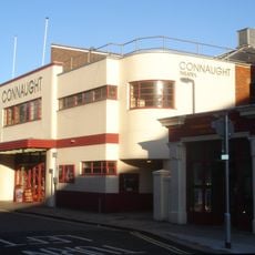
Connaught Theatre
262 m
Worthing Museum and Art Gallery
330 m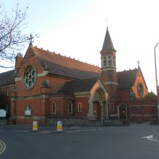
St Mary of the Angels
377 m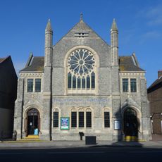
Worthing Tabernacle
361 m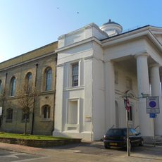
St Paul's Church, Worthing
242 m
Worthing Town Hall including Assembly Hall and Worthing Room
337 m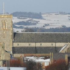
Christ Church, Worthing
126 m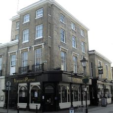
Thieves Kitchen
245 m
The Worthing Lido
317 m
Holy Trinity Church
425 m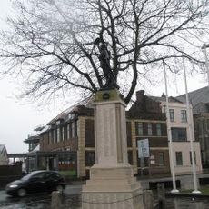
Worthing War Memorial
382 m
Hare And Hounds Public House
54 m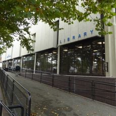
Worthing Library
266 m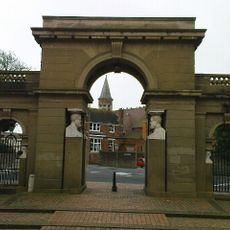
Lodges And Gateway To Park Crescent
442 m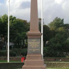
Worthing Boer War Memorial
437 m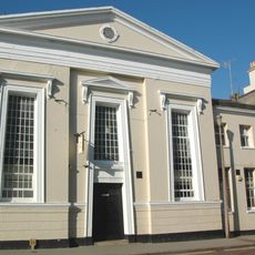
Bedford Hall
246 m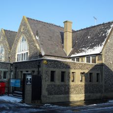
Christ Church School
116 m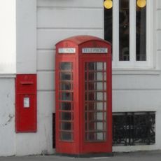
K6 Telephone Kiosk, The Steyne
397 m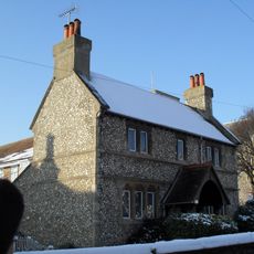
Humphrys Almshouses
148 m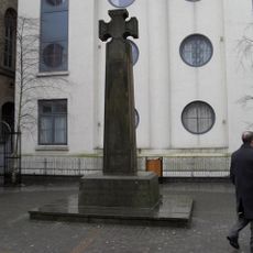
St Paul's War Memorial, Worthing
258 m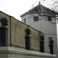
That Part Of The Montague Shopping Centre Which Is The Desert Quartet Sculptures With Supporting Loggia Alexander Terrace
114 m
52, 52A And 52B, Richmond Road
327 m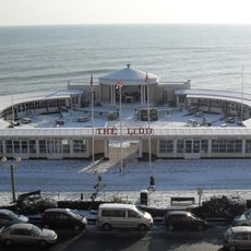
The Lido
299 m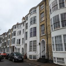
8-14, Bedford Row
272 m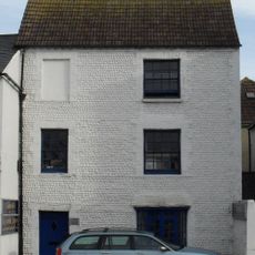
44, High Street
391 m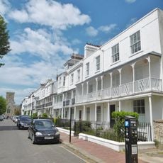
Numbers 1-14 Including Sections Of Railings Along The Front
215 mOpiniones
¿Has visitado este lugar? Toca las estrellas para valorarlo y compartir tu experiencia o fotos con la comunidad. ¡Pruébalo ahora! Puedes cancelarlo en cualquier momento.
¡Encuentra tesoros escondidos en cada aventura!
Desde cafeterías con encanto hasta miradores secretos, escapa de las multitudes y encuentra lugares que van contigo de verdad. Nuestra app te lo pone fácil: búsqueda por voz, filtros inteligentes, rutas optimizadas y consejos auténticos de viajeros de todo el mundo. ¡Descárgala ya y vive la aventura en tu móvil!

Un enfoque novedoso para descubrir el turismo❞
— Le Figaro
Todos los lugares que merecen ser explorados❞
— France Info
Una excursión a medida en solo unos clics❞
— 20 Minutes