
Coal Duty Boundary Marker At Junction With Crayford Road
Coal Duty Boundary Marker At Junction With Crayford Road, coal-tax post in Dartford, Kent, UK
Ubicación: Dartford
Parte de: political border
Coordenadas GPS: 51.44876,0.19099
Última actualización: 14 de marzo de 2025 a las 02:09
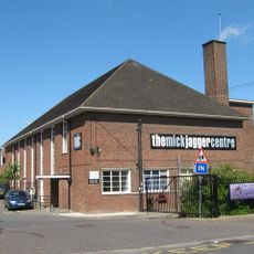
The Mick Jagger Centre
1.1 km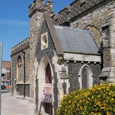
Church of the Holy Trinity
2.1 km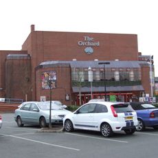
Orchard Theatre
1.9 km
One Bell
1.2 km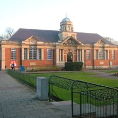
Dartford Library
2 km
Braeburn Park
1.4 km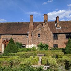
Priory Farmhouse containing the remains of Dartford Priory Gatehouse
1.6 km
Wansunt Pit
1.3 km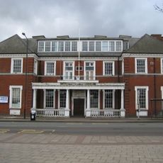
Crayford Town Hall
741 m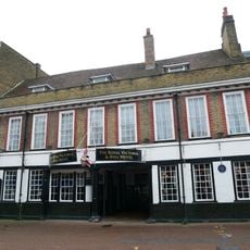
The Royal Victoria And Bull Inn
1.9 km
Church of St Paulinus, Crayford
1.3 km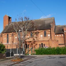
Christ Church
848 m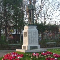
Dartford War Memorial
2 km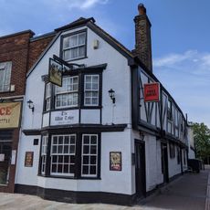
The Wat Tyler Public House
2.1 km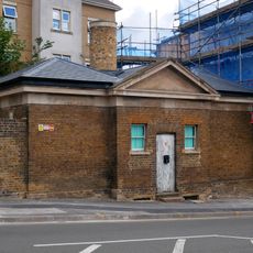
Former West Hill Police Station
1.3 km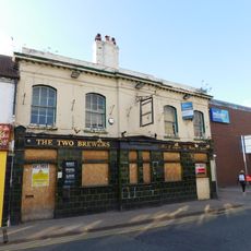
The Two Brewers Public House
1.9 km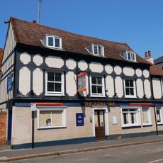
The Royal Oak Public House
1.6 km
Beadles
1.7 km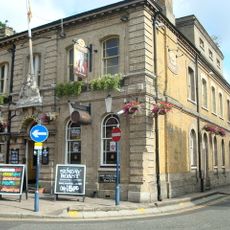
Kent House The County Court
1.7 km
Crayford War Memorial
1.7 km
The Bridge House
2.1 km
The Long Shed (Part Of David Evans Limited Factory At Number 71)
1.3 km
45, High Street
2 km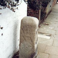
Milestone Opposite Nos 179 And 179A
302 m
Remains Of Priory Walls In Victoria Road, Kingsfield Terrace And Priory Lane, Including The Doorway In Kingsfield Terrace
1.6 km
Crayford Manor House
1.7 km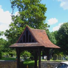
Lychgate to West of Parish Church of St Paulinus
1.4 km
The Oakwood
1.6 kmOpiniones
¿Has visitado este lugar? Toca las estrellas para valorarlo y compartir tu experiencia o fotos con la comunidad. ¡Pruébalo ahora! Puedes cancelarlo en cualquier momento.
¡Encuentra tesoros escondidos en cada aventura!
Desde cafeterías con encanto hasta miradores secretos, escapa de las multitudes y encuentra lugares que van contigo de verdad. Nuestra app te lo pone fácil: búsqueda por voz, filtros inteligentes, rutas optimizadas y consejos auténticos de viajeros de todo el mundo. ¡Descárgala ya y vive la aventura en tu móvil!

Un enfoque novedoso para descubrir el turismo❞
— Le Figaro
Todos los lugares que merecen ser explorados❞
— France Info
Una excursión a medida en solo unos clics❞
— 20 Minutes