
The Fernery, building in Pitchcombe, Stroud, Gloucestershire, UK
Ubicación: Pitchcombe
Coordenadas GPS: 51.76955,-2.22191
Última actualización: 13 de abril de 2025 a las 06:13
Edge Common
1.4 km
Stratford Park
2.2 km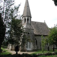
Church of St John the Baptist
2.1 km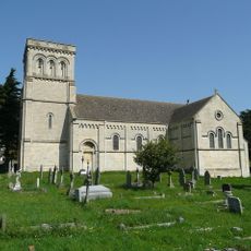
Church of St Paul
1.3 km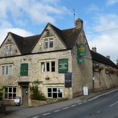
Star Inn
1.2 km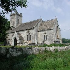
Church of St John the Baptist
512 m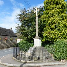
Whiteshill War Memorial
1.2 km
The Eagle
859 m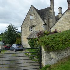
Stokenhill Farmhouse
981 m
Privy approximately 30 metres west of Stokenhill Farmhouse
999 m
Pitchcombe War Memorial
453 m
Barn approximately 10 metres south of Ruscombe Farmhouse
1.6 km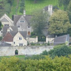
The Sheephouse
1.3 km
Gate screen approximately 18 metres south of Pitchcombe House
194 m
Horseshoe Cottage
1.2 km
Lodge to Hawkwood College
1.4 km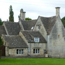
Rock Mill House
1.1 km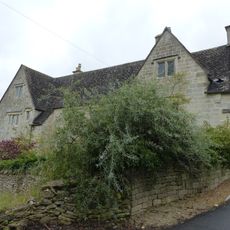
Wragg Castle Farmhouse and stables
811 m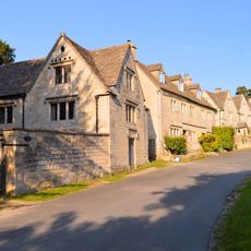
Stables and coach house approximately 30 metres south east of Pitchcombe House
229 m
Randwick Hill long barrow, round barrows and dyke
2.3 km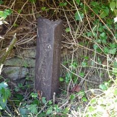
Boundary Post
1.9 km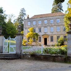
Pitchcombe House
222 m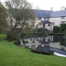
Little Mill
55 m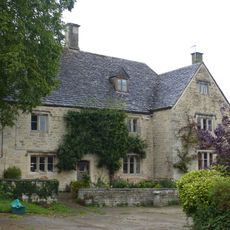
Ruscombe Farmhouse
1.6 km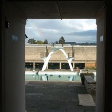
Stratford Park Diving Platform
2.2 km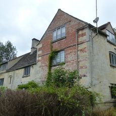
Kings Mill House
1.6 km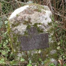
Milestone, Stepping Stone Lane
1.9 km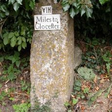
Milestone, Wick Street; 50m N The Malt House
1.2 kmOpiniones
¿Has visitado este lugar? Toca las estrellas para valorarlo y compartir tu experiencia o fotos con la comunidad. ¡Pruébalo ahora! Puedes cancelarlo en cualquier momento.
¡Encuentra tesoros escondidos en cada aventura!
Desde cafeterías con encanto hasta miradores secretos, escapa de las multitudes y encuentra lugares que van contigo de verdad. Nuestra app te lo pone fácil: búsqueda por voz, filtros inteligentes, rutas optimizadas y consejos auténticos de viajeros de todo el mundo. ¡Descárgala ya y vive la aventura en tu móvil!

Un enfoque novedoso para descubrir el turismo❞
— Le Figaro
Todos los lugares que merecen ser explorados❞
— France Info
Una excursión a medida en solo unos clics❞
— 20 Minutes