
By Lanes, building in Mortimer West End, Basingstoke and Deane, Hampshire, UK
Ubicación: Mortimer West End
Coordenadas GPS: 51.35770,-1.05244
Última actualización: 22 de octubre de 2025 a las 21:07
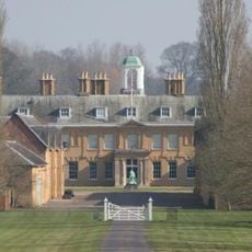
Stratfield Saye House
4 km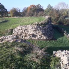
Calleva Atrebatum
2.1 km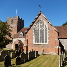
Church of St James
3.8 km
The Frith
3.4 km
Calleva Atrebatum
2.1 km
Silchester House
3.3 km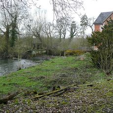
Stanford End Mill and River Loddon
4.6 km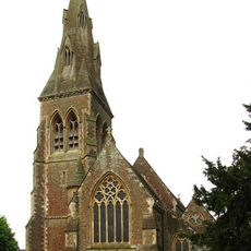
Church of St Mary Church of St Mary 66826410
1.8 km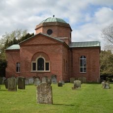
Church of St. Mary the Virgin, Stratfield Saye
3.7 km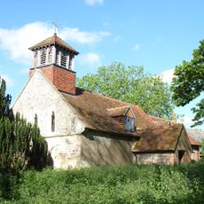
Church of All Saints
3.9 km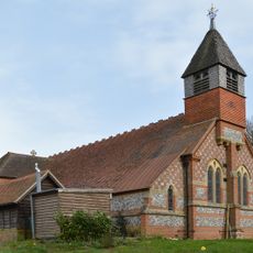
Church of St Mary the Virgin
4.2 km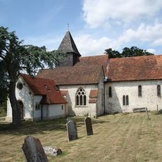
Church of St. Mary
1.7 km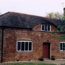
Countess Of Huntingdon's Chapel
4.7 km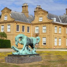
Statue of Horse and Dragon
4 km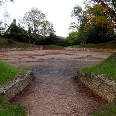
Silchester Amphitheatre
1.6 km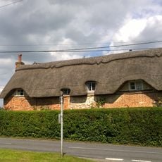
Dial Cottage
3.4 km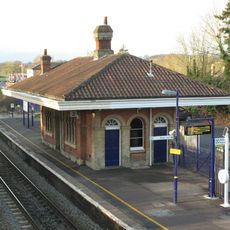
Mortimer Station
2 km
The Late Iron Age oppidum and Roman town of Calleva Atrebatum and associated features
2.1 km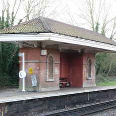
Waiting Room At Mortimer Station On South West Side Of Railway Line
2 km
St Benedict's School Wokefield Park Wokefield Park (st Benedict's School)
3.4 km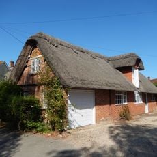
Old Bells House
3.9 km
The Mount Farmhouse
1.6 km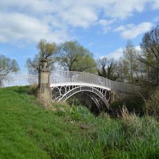
Bridge Over The River Loddon
3.8 km
Old Manor Farmhouse
1.7 km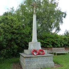
Mortimer West End War Memorial
2.9 km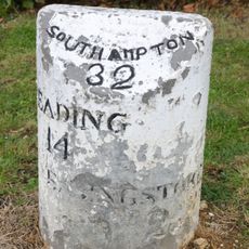
Milestone On A33 At Ngr 682583
4.7 km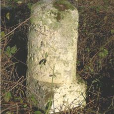
Milestone, Turgis Green
4.8 km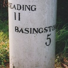
Milestone, Corner of Longbridge close, Housing Estate by Bridge
4.7 kmOpiniones
¿Has visitado este lugar? Toca las estrellas para valorarlo y compartir tu experiencia o fotos con la comunidad. ¡Pruébalo ahora! Puedes cancelarlo en cualquier momento.
¡Encuentra tesoros escondidos en cada aventura!
Desde cafeterías con encanto hasta miradores secretos, escapa de las multitudes y encuentra lugares que van contigo de verdad. Nuestra app te lo pone fácil: búsqueda por voz, filtros inteligentes, rutas optimizadas y consejos auténticos de viajeros de todo el mundo. ¡Descárgala ya y vive la aventura en tu móvil!

Un enfoque novedoso para descubrir el turismo❞
— Le Figaro
Todos los lugares que merecen ser explorados❞
— France Info
Una excursión a medida en solo unos clics❞
— 20 Minutes