
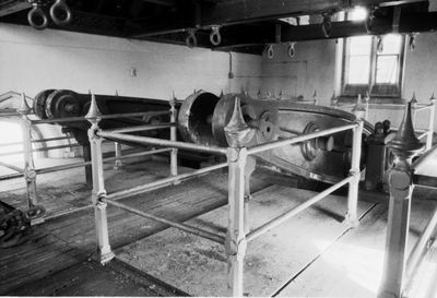
Snarestone Pumping Station, architectural structure in Snarestone, North West Leicestershire, Leicestershire, UK
Ubicación: Snarestone
Coordenadas GPS: 52.68735,-1.48750
Última actualización: 12 de marzo de 2025 a las 00:08

Twycross Zoo
4.8 km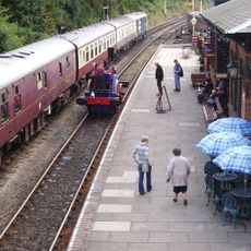
Shackerstone railway station
4.7 km
Queen Elizabeth Diamond Jubilee Wood
4.5 km
St Michael's Church, Stretton en le Field
4.7 km
Church of St Michael
3.2 km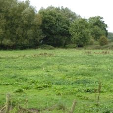
Newton Burgoland Marshes
3.6 km
Church of St John the Baptist
4.3 km
Church of St Bartholomew
879 m
Church of St Mary the Virgin
5 km
Church of St Peter
4.3 km
Church of St Peter, Swepstone
2.1 km
Church of St Lawrence
2.5 km
Church of the Holy Trinity
4 km
Church of the Holy Rood
4.6 km
Church of St Thomas
4.7 km
Church of the Holy Trinity
3.9 km
Church of St John the Evangelist
5.1 km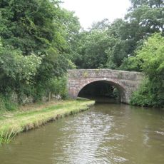
Number 60 Bridge
563 m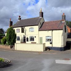
The Moore's Arms Public House
4 km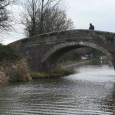
Number 61 Turnover Bridge
352 m
Odstone Hall
5 km
Garden Temple At Ngr 354059 500 Metres South Of Gopsall Hall Farm
4.2 km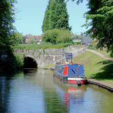
Snarestone Tunnel Entrances
919 m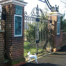
Donisthorpe War Memorial Gateway
5 km
Snarestone War Memorial
805 m
Manor Farmhouse
754 m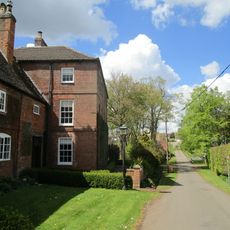
Manor Farmhouse
4 km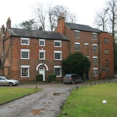
Help Out Mill
3.9 kmOpiniones
¿Has visitado este lugar? Toca las estrellas para valorarlo y compartir tu experiencia o fotos con la comunidad. ¡Pruébalo ahora! Puedes cancelarlo en cualquier momento.
¡Encuentra tesoros escondidos en cada aventura!
Desde cafeterías con encanto hasta miradores secretos, escapa de las multitudes y encuentra lugares que van contigo de verdad. Nuestra app te lo pone fácil: búsqueda por voz, filtros inteligentes, rutas optimizadas y consejos auténticos de viajeros de todo el mundo. ¡Descárgala ya y vive la aventura en tu móvil!

Un enfoque novedoso para descubrir el turismo❞
— Le Figaro
Todos los lugares que merecen ser explorados❞
— France Info
Una excursión a medida en solo unos clics❞
— 20 Minutes